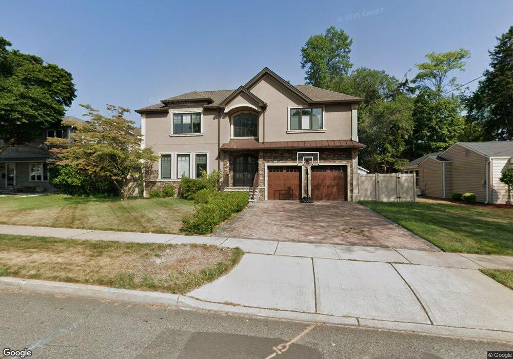
390 5th Ave River Edge, NJ 07661
Estimated Value: $1,234,000 - $1,510,000
5
Beds
5
Baths
1,015
Sq Ft
$1,349/Sq Ft
Est. Value
About This Home
This home is located at 390 5th Ave, River Edge, NJ 07661 and is currently estimated at $1,369,232, approximately $1,348 per square foot. 390 5th Ave is a home located in Bergen County with nearby schools including Cherry Hill School, River Dell Middle School, and River Dell Regional High School.
Ownership History
Date
Name
Owned For
Owner Type
Purchase Details
Closed on
Jan 30, 2019
Sold by
Hak Developers Llc
Bought by
Dabdee Deborah C and Dabdee Joseph P
Current Estimated Value
Purchase Details
Closed on
Dec 20, 2017
Sold by
Garre Capital Group Llc
Bought by
Hak Develoeprs Llc
Purchase Details
Closed on
Jun 19, 2017
Sold by
Owens Robert H
Bought by
Garee Capital Group Llc
Purchase Details
Closed on
May 12, 2017
Sold by
Owns Autumn Dewey and Owns Robert H
Bought by
Owens Robert H
Create a Home Valuation Report for This Property
The Home Valuation Report is an in-depth analysis detailing your home's value as well as a comparison with similar homes in the area
Home Values in the Area
Average Home Value in this Area
Purchase History
| Date | Buyer | Sale Price | Title Company |
|---|---|---|---|
| Dabdee Deborah C | $960,000 | -- | |
| Hak Develoeprs Llc | $390,000 | -- | |
| Garee Capital Group Llc | $353 | None Available | |
| Owens Robert H | -- | None Available |
Source: Public Records
Mortgage History
| Date | Status | Borrower | Loan Amount |
|---|---|---|---|
| Open | Dabdee Deborah Chung Ihn | $683,000 | |
| Closed | Dabdee Joseph P | $681,200 | |
| Previous Owner | Owens Robert H | $36,000 |
Source: Public Records
Tax History Compared to Growth
Tax History
| Year | Tax Paid | Tax Assessment Tax Assessment Total Assessment is a certain percentage of the fair market value that is determined by local assessors to be the total taxable value of land and additions on the property. | Land | Improvement |
|---|---|---|---|---|
| 2024 | $26,138 | $676,100 | $201,600 | $474,500 |
| 2023 | $25,016 | $676,100 | $201,600 | $474,500 |
| 2022 | $25,016 | $676,100 | $201,600 | $474,500 |
| 2021 | $24,522 | $676,100 | $201,600 | $474,500 |
| 2020 | $24,137 | $676,100 | $201,600 | $474,500 |
| 2019 | $23,447 | $676,100 | $201,600 | $474,500 |
| 2018 | $10,148 | $298,900 | $201,600 | $97,300 |
| 2017 | $10,049 | $298,900 | $201,600 | $97,300 |
| 2016 | $9,822 | $298,900 | $201,600 | $97,300 |
| 2015 | $9,366 | $298,900 | $201,600 | $97,300 |
| 2014 | $9,384 | $298,900 | $201,600 | $97,300 |
Source: Public Records
Map
Nearby Homes
- 280 North Dr
- 428 Elm Ave
- 169 Wayne Ave
- 207 Manning Ave
- 177 Forest Ave
- 122 Village Cir E
- 239 Greenway Terrace
- 199 Howland Ave
- 127 Village Cir E
- 426 Lee Ave
- 273 van Saun Dr
- 252 Oak Ave
- 245 Madison Ave
- 145 Concord Dr
- 16 Coles Ct
- 265 Adams Ave
- 254 University Way
- 183 Oak Ave
- 239 Adams Ave
- 166 Reservoir Ave