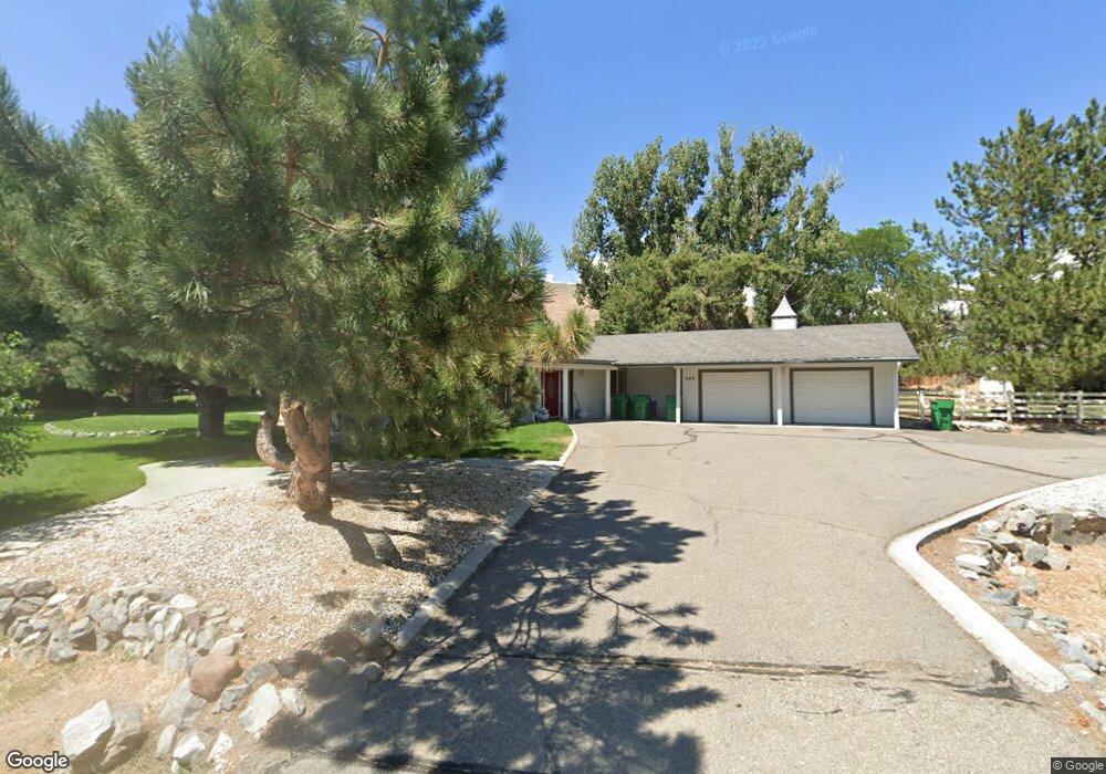
390 Arrowhead Dr Carson City, NV 89706
Arrow Head-North Carson NeighborhoodEstimated Value: $548,000 - $744,000
2
Beds
2
Baths
2,249
Sq Ft
$299/Sq Ft
Est. Value
About This Home
This home is located at 390 Arrowhead Dr, Carson City, NV 89706 and is currently estimated at $672,975, approximately $299 per square foot. 390 Arrowhead Dr is a home located in Carson City with nearby schools including John C. Fremont Elementary School, Eagle Valley Middle School, and Carson High School.
Ownership History
Date
Name
Owned For
Owner Type
Purchase Details
Closed on
Mar 19, 2019
Sold by
Reynolds Maxeen
Bought by
Reynolds Maxeen and The Maxeen Reynolds Trust
Current Estimated Value
Create a Home Valuation Report for This Property
The Home Valuation Report is an in-depth analysis detailing your home's value as well as a comparison with similar homes in the area
Home Values in the Area
Average Home Value in this Area
Purchase History
| Date | Buyer | Sale Price | Title Company |
|---|---|---|---|
| Reynolds Maxeen | -- | Accommodation |
Source: Public Records
Tax History
| Year | Tax Paid | Tax Assessment Tax Assessment Total Assessment is a certain percentage of the fair market value that is determined by local assessors to be the total taxable value of land and additions on the property. | Land | Improvement |
|---|---|---|---|---|
| 2025 | $2,737 | $86,832 | $42,000 | $44,832 |
| 2024 | $2,658 | $87,053 | $42,000 | $45,053 |
| 2023 | $2,581 | $82,864 | $42,000 | $40,864 |
| 2022 | $2,506 | $74,705 | $36,750 | $37,955 |
| 2021 | $2,433 | $71,111 | $32,900 | $38,211 |
| 2019 | $2,292 | $68,470 | $29,050 | $39,420 |
| 2018 | $2,225 | $65,459 | $26,425 | $39,034 |
| 2017 | $2,160 | $64,969 | $25,200 | $39,769 |
| 2016 | $2,106 | $62,188 | $21,000 | $41,188 |
| 2015 | $2,102 | $62,741 | $21,000 | $41,741 |
| 2014 | $2,040 | $58,270 | $17,500 | $40,770 |
Source: Public Records
Map
Nearby Homes
- 95 E Bonanza Dr
- 504 Sandstone Dr
- 39 Granite Way
- 1350 Old Hot Springs Rd
- 1110 Jefferson Dr
- 220 E Hampton Dr
- 208 E Hampton Dr
- 1401 Jefferson Dr
- 3183 Imperial Way
- 3008 Imperial Way
- 3472-2 Arrowhead Dr Unit 2
- 4077 Arrowhead Dr
- 3472 Arrowhead Dr
- 2850 Arrowhead Dr
- 1880 Franklin Rd
- 1310 Shadowridge Dr
- 1419 Ridge Point Dr
- 1775 Vineyard Way
- 1381 Spooner Dr
- 3277 Dartmouth Ct
Your Personal Tour Guide
Ask me questions while you tour the home.