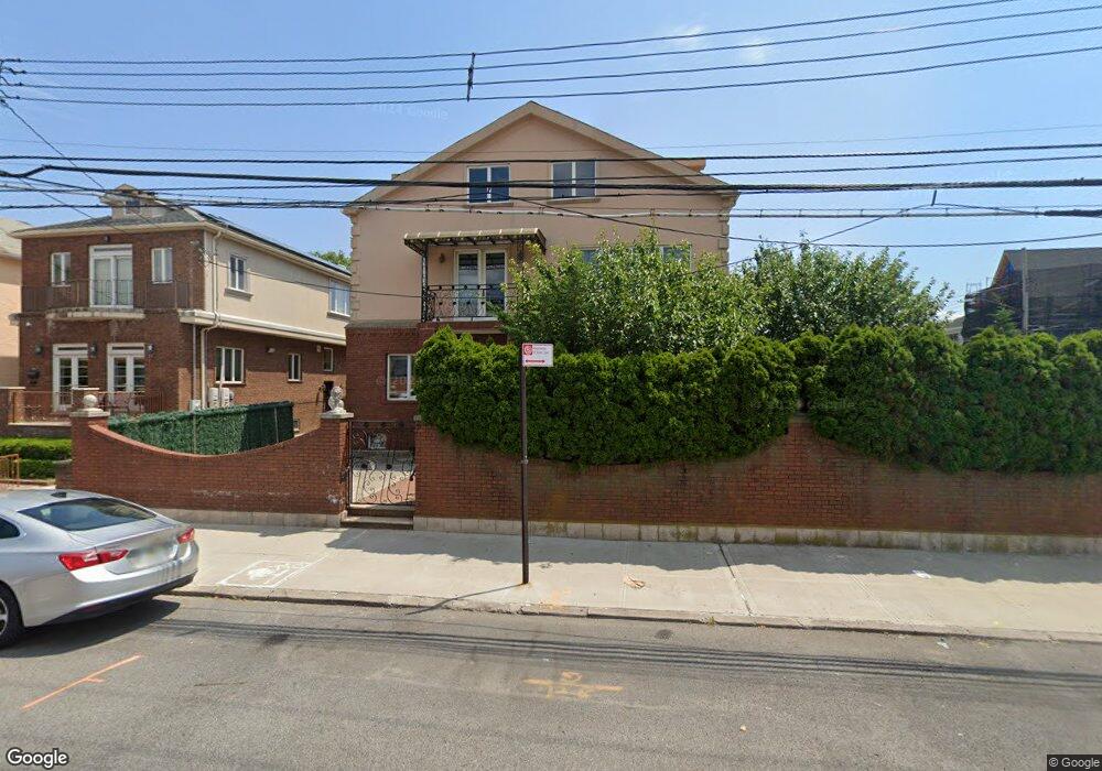
390 Avenue W Brooklyn, NY 11223
Gravesend NeighborhoodEstimated Value: $1,250,000 - $2,290,808
--
Bed
--
Bath
2,877
Sq Ft
$627/Sq Ft
Est. Value
About This Home
This home is located at 390 Avenue W, Brooklyn, NY 11223 and is currently estimated at $1,805,202, approximately $627 per square foot. 390 Avenue W is a home located in Kings County with nearby schools including P.S. 216 Arturo Toscanini, I.S. 303 Herbert S. Eisenberg, and Abraham Lincoln High School.
Ownership History
Date
Name
Owned For
Owner Type
Purchase Details
Closed on
Apr 8, 2003
Sold by
Gershkovich Maryana
Bought by
Chaya Mousa and Chaya Nouri
Current Estimated Value
Purchase Details
Closed on
Feb 2, 1998
Sold by
Flamm Suzann
Bought by
Goldenchteine Yefim and Miroshenko Lyudmila
Home Financials for this Owner
Home Financials are based on the most recent Mortgage that was taken out on this home.
Original Mortgage
$302,250
Interest Rate
6.92%
Create a Home Valuation Report for This Property
The Home Valuation Report is an in-depth analysis detailing your home's value as well as a comparison with similar homes in the area
Home Values in the Area
Average Home Value in this Area
Purchase History
| Date | Buyer | Sale Price | Title Company |
|---|---|---|---|
| Chaya Mousa | $5,250,000 | -- | |
| Goldenchteine Yefim | $755,625 | Ticor Title Guarantee Compan |
Source: Public Records
Mortgage History
| Date | Status | Borrower | Loan Amount |
|---|---|---|---|
| Previous Owner | Goldenchteine Yefim | $302,250 | |
| Closed | Chaya Mousa | $0 |
Source: Public Records
Tax History Compared to Growth
Tax History
| Year | Tax Paid | Tax Assessment Tax Assessment Total Assessment is a certain percentage of the fair market value that is determined by local assessors to be the total taxable value of land and additions on the property. | Land | Improvement |
|---|---|---|---|---|
| 2025 | $13,918 | $97,620 | $29,520 | $68,100 |
| 2024 | $13,918 | $114,840 | $29,520 | $85,320 |
| 2023 | $13,280 | $120,360 | $29,520 | $90,840 |
| 2022 | $12,317 | $115,560 | $29,520 | $86,040 |
| 2021 | $12,254 | $94,740 | $29,520 | $65,220 |
| 2020 | $6,091 | $79,200 | $29,520 | $49,680 |
| 2019 | $12,080 | $87,600 | $29,520 | $58,080 |
| 2018 | $11,108 | $54,493 | $24,894 | $29,599 |
| 2017 | $10,481 | $51,416 | $18,963 | $32,453 |
| 2016 | $9,700 | $48,522 | $21,942 | $26,580 |
| 2015 | $5,850 | $48,522 | $19,750 | $28,772 |
| 2014 | $5,850 | $48,121 | $19,587 | $28,534 |
Source: Public Records
Map
Nearby Homes
- 2400 E 3rd St Unit 317
- 2400 E 3rd St Unit 619
- 2400 E 3rd St Unit 228
- 2400 E 3rd St Unit 403
- 2400 E 3rd St Unit 515
- 2391 E 3rd St
- 2365 W 1st St
- 2391 E 4th St
- 67 Stryker St
- 2310 Ocean Pkwy Unit 5J
- 2310 Ocean Pkwy Unit 5F
- 2310 Ocean Pkwy Unit 3J
- 2421 W 1st St
- 310 Avenue X
- 2443 E 1st St
- 106 Village Rd S
- 125 Stryker St
- 2450 West St
- 2416 McDonald Ave
- 475 Avenue Y