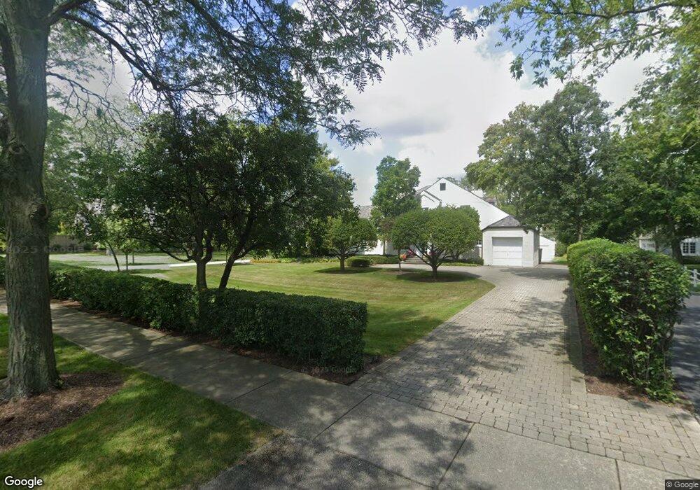
390 E Onwentsia Rd Lake Forest, IL 60045
Estimated Value: $1,083,000 - $1,279,000
3
Beds
4
Baths
2,723
Sq Ft
$436/Sq Ft
Est. Value
About This Home
This home is located at 390 E Onwentsia Rd, Lake Forest, IL 60045 and is currently estimated at $1,188,207, approximately $436 per square foot. 390 E Onwentsia Rd is a home located in Lake County with nearby schools including Sheridan Elementary School, Deer Path Middle School East, and Lake Forest High School.
Ownership History
Date
Name
Owned For
Owner Type
Purchase Details
Closed on
May 30, 2017
Sold by
Mitchell John R
Bought by
Grazoamp Robert and Graziano Margaret
Current Estimated Value
Home Financials for this Owner
Home Financials are based on the most recent Mortgage that was taken out on this home.
Original Mortgage
$500,000
Outstanding Balance
$414,176
Interest Rate
3.87%
Mortgage Type
New Conventional
Estimated Equity
$774,031
Create a Home Valuation Report for This Property
The Home Valuation Report is an in-depth analysis detailing your home's value as well as a comparison with similar homes in the area
Home Values in the Area
Average Home Value in this Area
Purchase History
| Date | Buyer | Sale Price | Title Company |
|---|---|---|---|
| Grazoamp Robert | $815,000 | None Available |
Source: Public Records
Mortgage History
| Date | Status | Borrower | Loan Amount |
|---|---|---|---|
| Open | Grazoamp Robert | $500,000 |
Source: Public Records
Tax History Compared to Growth
Tax History
| Year | Tax Paid | Tax Assessment Tax Assessment Total Assessment is a certain percentage of the fair market value that is determined by local assessors to be the total taxable value of land and additions on the property. | Land | Improvement |
|---|---|---|---|---|
| 2024 | $13,272 | $243,759 | $163,240 | $80,519 |
| 2023 | $16,084 | $219,722 | $147,143 | $72,579 |
| 2022 | $16,084 | $274,973 | $161,645 | $113,328 |
| 2021 | $16,286 | $283,358 | $156,254 | $127,104 |
| 2020 | $15,833 | $283,358 | $156,254 | $127,104 |
| 2019 | $15,258 | $282,032 | $155,523 | $126,509 |
| 2018 | $11,461 | $227,632 | $121,339 | $106,293 |
| 2017 | $11,201 | $226,319 | $120,639 | $105,680 |
| 2016 | $10,726 | $215,460 | $114,851 | $100,609 |
| 2015 | $10,436 | $200,186 | $106,709 | $93,477 |
| 2014 | $10,454 | $199,800 | $118,864 | $80,936 |
| 2012 | $10,138 | $200,965 | $119,557 | $81,408 |
Source: Public Records
Map
Nearby Homes
- 261 E Onwentsia Rd
- 24 Washington Cir
- 262 E Foster Place
- 479 E Illinois Rd
- 771 Greenbriar Ln
- 51 Sequoia Ct
- 783 Green Briar Ln
- 383 Washington Rd
- 27 W Onwentsia Rd
- 250 S Sheridan Rd
- 490 College Rd
- 390 S Basswood Rd
- 51 Heron Rd
- 727 N Mckinley Rd Unit 100
- 101 N Mayflower Rd
- 510 Buena Rd
- 765 N Sheridan Rd
- 531 N Mayflower Rd Unit 531
- 85 Sunset Place
- 847 N Mckinley Rd
- 370 E Onwentsia Rd
- 400 E Onwentsia Rd
- 8 N Western Ave
- 45 N Green Bay Rd
- 410 E Onwentsia Rd
- 20 N Western Ave
- 3 S Green Bay Rd
- 30 N Western Ave
- 440 E Onwentsia Rd
- 50 N Western Ave
- 35 N Green Bay Rd
- 60 N Western Ave
- 51 N Green Bay Rd
- 7 N Green Bay Rd
- 491 Ryan Place
- 80 N Western Ave
- 70 N Western Ave
- 495 Ryan Place
- 100 N Western Ave
- 10 S Green Bay Rd