Estimated Value: $859,000 - $1,203,000
3
Beds
3
Baths
1,716
Sq Ft
$578/Sq Ft
Est. Value
About This Home
This home is located at 390 Palmer Loop, Eagle, CO 81631 and is currently estimated at $992,595, approximately $578 per square foot. 390 Palmer Loop is a home located in Eagle County with nearby schools including Brush Creek Elementary School, Eagle Valley Middle School, and Eagle Valley High School.
Ownership History
Date
Name
Owned For
Owner Type
Purchase Details
Closed on
Jan 11, 2024
Sold by
Tharaldson Holly
Bought by
Asmus Holly
Current Estimated Value
Home Financials for this Owner
Home Financials are based on the most recent Mortgage that was taken out on this home.
Original Mortgage
$60,000
Outstanding Balance
$54,492
Interest Rate
5.93%
Mortgage Type
New Conventional
Estimated Equity
$938,103
Purchase Details
Closed on
Apr 25, 2014
Sold by
Thoraldson Holly and Thoraldson Eric
Bought by
Thoraldson Holly
Purchase Details
Closed on
Jun 8, 2007
Sold by
Aidans Ranch Development Co Llc
Bought by
Tharaldson Eric T and Tharaldson Holly M
Home Financials for this Owner
Home Financials are based on the most recent Mortgage that was taken out on this home.
Original Mortgage
$398,850
Interest Rate
6.16%
Mortgage Type
Unknown
Create a Home Valuation Report for This Property
The Home Valuation Report is an in-depth analysis detailing your home's value as well as a comparison with similar homes in the area
Home Values in the Area
Average Home Value in this Area
Purchase History
| Date | Buyer | Sale Price | Title Company |
|---|---|---|---|
| Asmus Holly | -- | None Listed On Document | |
| Thoraldson Holly | -- | None Available | |
| Tharaldson Eric T | $398,850 | Land Title Guarantee Company |
Source: Public Records
Mortgage History
| Date | Status | Borrower | Loan Amount |
|---|---|---|---|
| Open | Asmus Holly | $60,000 | |
| Previous Owner | Tharaldson Eric T | $398,850 |
Source: Public Records
Tax History
| Year | Tax Paid | Tax Assessment Tax Assessment Total Assessment is a certain percentage of the fair market value that is determined by local assessors to be the total taxable value of land and additions on the property. | Land | Improvement |
|---|---|---|---|---|
| 2025 | $2,632 | $34,480 | $9,840 | $24,640 |
| 2024 | $2,580 | $35,060 | $7,210 | $27,850 |
| 2023 | $2,580 | $35,060 | $7,210 | $27,850 |
| 2022 | $2,951 | $32,210 | $5,010 | $27,200 |
| 2021 | $3,038 | $33,150 | $5,160 | $27,990 |
| 2020 | $2,964 | $31,240 | $4,600 | $26,640 |
| 2019 | $2,960 | $31,240 | $4,600 | $26,640 |
| 2018 | $2,740 | $27,740 | $4,030 | $23,710 |
| 2017 | $2,728 | $27,740 | $4,030 | $23,710 |
| 2016 | $2,417 | $23,880 | $3,180 | $20,700 |
| 2015 | -- | $23,880 | $3,180 | $20,700 |
| 2014 | $2,330 | $21,680 | $1,950 | $19,730 |
Source: Public Records
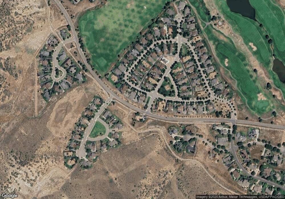
Map
Nearby Homes
- 165 Palmer Loop
- 49 Double Hitch
- 132 Longview Ave
- 111 Double Hitch
- 277 Lime Park Dr
- 99 Silver Spur
- 17 Lone Spur
- 53 Sawmill Cir
- 13 Sawmill Cir
- 75 Eagle Ranch Rd
- 80 Freestone Rd Unit B201
- 89 Robins Egg
- 1200 Capitol St Unit 201
- 33 Bunkhouse Place
- 22 Callie Clark Ct
- 270 Founders Ave
- 264 Founders Ave
- 116 Thresher Ct
- 91 Mount Hope Cir Unit A101
- 91 Mount Hope Cir Unit B303
Your Personal Tour Guide
Ask me questions while you tour the home.