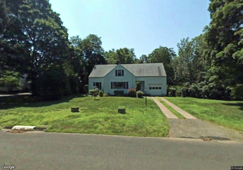
390 River Rd Hamden, CT 06518
Estimated Value: $450,543 - $564,000
3
Beds
2
Baths
2,124
Sq Ft
$236/Sq Ft
Est. Value
About This Home
This home is located at 390 River Rd, Hamden, CT 06518 and is currently estimated at $502,136, approximately $236 per square foot. 390 River Rd is a home located in New Haven County with nearby schools including West Woods School, Hamden Middle School, and Hamden High School.
Ownership History
Date
Name
Owned For
Owner Type
Purchase Details
Closed on
Jun 3, 2002
Sold by
Coburn-Engquist J and Engquist Kenneth D
Bought by
Milburn Michael and Lovrin Jeanne
Current Estimated Value
Home Financials for this Owner
Home Financials are based on the most recent Mortgage that was taken out on this home.
Original Mortgage
$212,800
Interest Rate
7%
Purchase Details
Closed on
Jun 29, 1999
Sold by
Topitzer Neil P and Topitzer Mary J
Bought by
Coburn-Engquist J L and Engquist Kenneth D
Home Financials for this Owner
Home Financials are based on the most recent Mortgage that was taken out on this home.
Original Mortgage
$145,600
Interest Rate
7.09%
Create a Home Valuation Report for This Property
The Home Valuation Report is an in-depth analysis detailing your home's value as well as a comparison with similar homes in the area
Home Values in the Area
Average Home Value in this Area
Purchase History
| Date | Buyer | Sale Price | Title Company |
|---|---|---|---|
| Milburn Michael | $266,000 | -- | |
| Coburn-Engquist J L | $182,000 | -- |
Source: Public Records
Mortgage History
| Date | Status | Borrower | Loan Amount |
|---|---|---|---|
| Open | Coburn-Engquist J L | $200,868 | |
| Closed | Coburn-Engquist J L | $214,000 | |
| Closed | Coburn-Engquist J L | $212,800 | |
| Previous Owner | Coburn-Engquist J L | $145,600 |
Source: Public Records
Tax History
| Year | Tax Paid | Tax Assessment Tax Assessment Total Assessment is a certain percentage of the fair market value that is determined by local assessors to be the total taxable value of land and additions on the property. | Land | Improvement |
|---|---|---|---|---|
| 2025 | $12,859 | $247,870 | $50,820 | $197,050 |
| 2024 | $8,724 | $156,870 | $32,410 | $124,460 |
| 2023 | $8,844 | $156,870 | $32,410 | $124,460 |
| 2022 | $8,703 | $156,870 | $32,410 | $124,460 |
| 2021 | $8,226 | $156,870 | $32,410 | $124,460 |
| 2020 | $8,573 | $164,920 | $78,960 | $85,960 |
| 2019 | $8,058 | $164,920 | $78,960 | $85,960 |
| 2018 | $7,910 | $164,920 | $78,960 | $85,960 |
| 2017 | $7,464 | $164,920 | $78,960 | $85,960 |
| 2016 | $7,481 | $164,920 | $78,960 | $85,960 |
| 2015 | $7,464 | $182,630 | $87,780 | $94,850 |
| 2014 | $7,292 | $182,630 | $87,780 | $94,850 |
Source: Public Records
Map
Nearby Homes
- 180 River Rd
- 150 Chatterton Way
- 35 Todd St Unit 103
- 35 Todd St Unit 302
- 136 Knoll Dr
- 68 Todd St
- 43 Bruschayt Dr
- 35 Stonehenge Place
- 3409 Whitney Ave Unit 23A
- 34 Lloyd St
- 399 W Woods Rd
- 1 Pond Hollow Unit 1
- 270 Johnson Rd
- 0 Main St S Unit 24155068
- 1600 S Main St
- 26 Kelly Rd
- 292 Deerfield Dr
- 4183 Whitney Ave
- 151 Fans Rock Rd
- 481 Gaylord Mountain Rd
Your Personal Tour Guide
Ask me questions while you tour the home.