390 Stanwich Rd Greenwich, CT 06830
Mid-Country East NeighborhoodEstimated Value: $3,910,000 - $4,880,000
3
Beds
3
Baths
--
Sq Ft
5.06
Acres
About This Home
This home is located at 390 Stanwich Rd, Greenwich, CT 06830 and is currently estimated at $4,303,351. 390 Stanwich Rd is a home located in Fairfield County with nearby schools including Parkway School, Central Middle School, and Greenwich High School.
Ownership History
Date
Name
Owned For
Owner Type
Purchase Details
Closed on
Oct 9, 2025
Sold by
Bucknall G S G and Bucknall Bridget B
Bought by
Stafford Bucknall Ret and Bucknall
Current Estimated Value
Purchase Details
Closed on
Mar 5, 2020
Sold by
Burns-Bucknall Bridget and Stafford Bucknall G
Bought by
Bonnie Brook Farm Llc
Purchase Details
Closed on
May 6, 2008
Sold by
Daly John N and Daly Barbara K
Bought by
Frye Lake Properties L
Purchase Details
Closed on
Oct 29, 1998
Sold by
Daly John N and Daly Barbara K
Bought by
Burns-Bucknall Bucknall G and Burns-Bucknall Bridget
Home Financials for this Owner
Home Financials are based on the most recent Mortgage that was taken out on this home.
Original Mortgage
$600,000
Interest Rate
6.68%
Mortgage Type
Purchase Money Mortgage
Create a Home Valuation Report for This Property
The Home Valuation Report is an in-depth analysis detailing your home's value as well as a comparison with similar homes in the area
Home Values in the Area
Average Home Value in this Area
Purchase History
| Date | Buyer | Sale Price | Title Company |
|---|---|---|---|
| Stafford Bucknall Ret | -- | -- | |
| Bonnie Brook Farm Llc | -- | None Available | |
| Frye Lake Properties L | $2,225,000 | -- | |
| Burns-Bucknall Bucknall G | $1,156,000 | -- |
Source: Public Records
Mortgage History
| Date | Status | Borrower | Loan Amount |
|---|---|---|---|
| Previous Owner | Burns-Bucknall Bucknall G | $400,000 | |
| Previous Owner | Burns-Bucknall Bucknall G | $580,000 | |
| Previous Owner | Burns-Bucknall Bucknall G | $600,000 |
Source: Public Records
Tax History Compared to Growth
Tax History
| Year | Tax Paid | Tax Assessment Tax Assessment Total Assessment is a certain percentage of the fair market value that is determined by local assessors to be the total taxable value of land and additions on the property. | Land | Improvement |
|---|---|---|---|---|
| 2025 | $20,633 | $1,713,740 | $1,017,800 | $695,940 |
| 2024 | $20,068 | $1,713,740 | $1,017,800 | $695,940 |
| 2023 | $19,519 | $1,713,740 | $1,017,800 | $695,940 |
| 2022 | $19,331 | $1,713,740 | $1,017,800 | $695,940 |
| 2021 | $19,580 | $1,689,380 | $927,360 | $762,020 |
| 2020 | $19,580 | $1,689,380 | $927,360 | $762,020 |
| 2019 | $19,732 | $1,689,380 | $927,360 | $762,020 |
| 2018 | $20,053 | $1,689,380 | $927,360 | $762,020 |
| 2017 | $19,208 | $1,689,380 | $927,360 | $762,020 |
| 2016 | $18,921 | $1,689,380 | $927,360 | $762,020 |
| 2015 | $26,730 | $2,371,740 | $1,865,150 | $506,590 |
| 2014 | $25,199 | $2,297,050 | $1,865,150 | $431,900 |
Source: Public Records
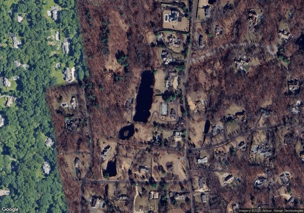
Map
Nearby Homes
- 399 Stanwich Rd
- 411 Stanwich Rd
- 11 Winterset Rd
- 10 Carissa Ln
- 78 Londonderry Dr
- 41 Mohawk Ln
- 100 Old Mill Ln
- 33 Mill Brook Rd W
- 12 Old Mill Ln
- 0 June Rd Unit LOT 1 24118127
- 151 June Rd
- 35 Andrews Farm Rd
- 180 Riverbank Rd
- 69 Taconic Rd
- 15 Andrews Farm Rd
- 37 Andrews Farm Rd
- 887 Westover Rd
- 506 Roxbury Rd
- 26 Andrews Farm Rd
- 50 Dingletown Rd