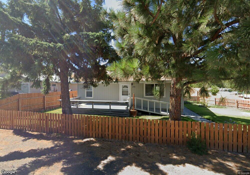
390 W Union Ave Heppner, OR 97836
Estimated Value: $166,447 - $172,000
3
Beds
1
Bath
1,050
Sq Ft
$161/Sq Ft
Est. Value
About This Home
This home is located at 390 W Union Ave, Heppner, OR 97836 and is currently estimated at $169,224, approximately $161 per square foot. 390 W Union Ave is a home located in Morrow County with nearby schools including Heppner Elementary School and Heppner Junior/Senior High School.
Ownership History
Date
Name
Owned For
Owner Type
Purchase Details
Closed on
Jul 21, 2020
Sold by
Doherty Chad M
Bought by
Doherty Chad M and Doherty Alicia S
Current Estimated Value
Purchase Details
Closed on
Jul 13, 2010
Sold by
Howard Matthew S and Howard Derina L
Bought by
Doherty Chad M
Home Financials for this Owner
Home Financials are based on the most recent Mortgage that was taken out on this home.
Original Mortgage
$67,096
Outstanding Balance
$46,121
Interest Rate
5.5%
Mortgage Type
FHA
Estimated Equity
$123,103
Create a Home Valuation Report for This Property
The Home Valuation Report is an in-depth analysis detailing your home's value as well as a comparison with similar homes in the area
Home Values in the Area
Average Home Value in this Area
Purchase History
| Date | Buyer | Sale Price | Title Company |
|---|---|---|---|
| Doherty Chad M | -- | None Available | |
| Doherty Chad M | $68,000 | -- |
Source: Public Records
Mortgage History
| Date | Status | Borrower | Loan Amount |
|---|---|---|---|
| Open | Doherty Chad M | $67,096 |
Source: Public Records
Tax History Compared to Growth
Tax History
| Year | Tax Paid | Tax Assessment Tax Assessment Total Assessment is a certain percentage of the fair market value that is determined by local assessors to be the total taxable value of land and additions on the property. | Land | Improvement |
|---|---|---|---|---|
| 2025 | $1,527 | $56,730 | -- | -- |
| 2024 | $1,324 | $55,080 | -- | -- |
| 2023 | $1,223 | $53,480 | $0 | $0 |
| 2022 | $1,203 | $51,930 | $0 | $0 |
| 2021 | $967 | $50,420 | $0 | $0 |
| 2020 | $980 | $50,420 | $0 | $0 |
| 2019 | $934 | $48,960 | $0 | $0 |
| 2018 | $870 | $46,160 | $0 | $0 |
| 2017 | $894 | $44,820 | $0 | $0 |
| 2016 | $820 | $43,520 | $0 | $0 |
| 2015 | $813 | $42,260 | $0 | $0 |
| 2013 | $821 | $39,840 | $0 | $0 |
Source: Public Records
Map
Nearby Homes
- 440 W Riverside St
- 387 E Linden Way
- 175 W Baltimore St
- 315 N Gale St
- 300 N Chase St
- 310 N Chase St
- 240 N Court St
- 235 Rock St
- 220 E Cannon St
- 615 Hager St
- 680 S Alfalfa St
- 61476 Dee Cox Rd
- 64209 Meadow Brook Rd
- Hwy 74
- 3300 Blake Ranch Rd
- 000 Chickadee St
- 54901 Willow St
- 80982 Cougar Ln
- 80269 Park Ln
- 0 Mountain Property Unit 357954927
- 380 W Union Ave
- 715 N Shobe Rd
- 385 W Union Ave
- 370 W Union Ave
- 375 W Union Ave
- 380 W Riverside St
- 735 N Shobe Rd
- 355 W Union Ave
- 360 W Union Ave
- 335 W Union Ave
- 330 W Union Ave
- 775 N Shobe Rd
- 740 N A St
- 315 W Union Ave
- 355 Water St
- 320 W Union Ave
- 785 N Shobe Rd
- 310 W Union Ave
- 435 Water St
- 315 Water St