3901 Highway 441 N Rabun Gap, GA 30568
Estimated Value: $166,743
--
Bed
--
Bath
5,000
Sq Ft
$33/Sq Ft
Est. Value
About This Home
This home is located at 3901 Highway 441 N, Rabun Gap, GA 30568 and is currently estimated at $166,743, approximately $33 per square foot. 3901 Highway 441 N is a home located in Rabun County with nearby schools including Rabun County Primary School, Rabun County High School, and Rabun Gap Nacoochee School.
Ownership History
Date
Name
Owned For
Owner Type
Purchase Details
Closed on
Jul 6, 2023
Sold by
Spivey Jackie L
Bought by
Bcp Enterprises Inc
Current Estimated Value
Purchase Details
Closed on
Feb 20, 2020
Sold by
Sellers Richard Paul
Bought by
Spivey Jackie L
Purchase Details
Closed on
Jun 29, 2011
Sold by
United Community Bank
Bought by
Barber William Boyd
Purchase Details
Closed on
Apr 6, 2010
Sold by
Katz Daniel
Bought by
United Community Bank
Purchase Details
Closed on
Oct 1, 2004
Bought by
Katz Daniel
Purchase Details
Closed on
May 1, 2003
Purchase Details
Closed on
Aug 1, 1996
Purchase Details
Closed on
Mar 1, 1992
Create a Home Valuation Report for This Property
The Home Valuation Report is an in-depth analysis detailing your home's value as well as a comparison with similar homes in the area
Home Values in the Area
Average Home Value in this Area
Purchase History
| Date | Buyer | Sale Price | Title Company |
|---|---|---|---|
| Bcp Enterprises Inc | $160,000 | -- | |
| Spivey Jackie L | $120,000 | -- | |
| Spivey Jackie L | $120,000 | -- | |
| Barber William Boyd | -- | -- | |
| Sellers Richard Paul | $25,000 | -- | |
| Barber William Boyd | -- | -- | |
| Sellers Richard Paul | $25,000 | -- | |
| Barber William Boyd | -- | -- | |
| Sellers Richard Paul | $25,000 | -- | |
| United Community Bank | $199,000 | -- | |
| United Community Bank | $199,000 | -- | |
| Katz Daniel | $199,500 | -- | |
| Katz Daniel | $199,500 | -- | |
| -- | -- | -- | |
| -- | -- | -- | |
| -- | $45,000 | -- | |
| -- | $45,000 | -- | |
| -- | -- | -- | |
| -- | -- | -- |
Source: Public Records
Tax History Compared to Growth
Tax History
| Year | Tax Paid | Tax Assessment Tax Assessment Total Assessment is a certain percentage of the fair market value that is determined by local assessors to be the total taxable value of land and additions on the property. | Land | Improvement |
|---|---|---|---|---|
| 2025 | $3,118 | $194,258 | $54,000 | $140,258 |
| 2024 | $1,880 | $117,116 | $54,000 | $63,116 |
| 2023 | $837 | $45,720 | $45,720 | $0 |
| 2022 | $837 | $45,720 | $45,720 | $0 |
| 2021 | $857 | $45,720 | $45,720 | $0 |
| 2020 | $887 | $45,720 | $45,720 | $0 |
| 2019 | $921 | $47,160 | $47,160 | $0 |
| 2018 | $1,156 | $58,950 | $58,950 | $0 |
| 2017 | $1,108 | $58,950 | $58,950 | $0 |
| 2016 | $882 | $46,800 | $46,800 | $0 |
| 2015 | $901 | $46,800 | $46,800 | $0 |
| 2014 | $906 | $46,800 | $46,800 | $0 |
Source: Public Records
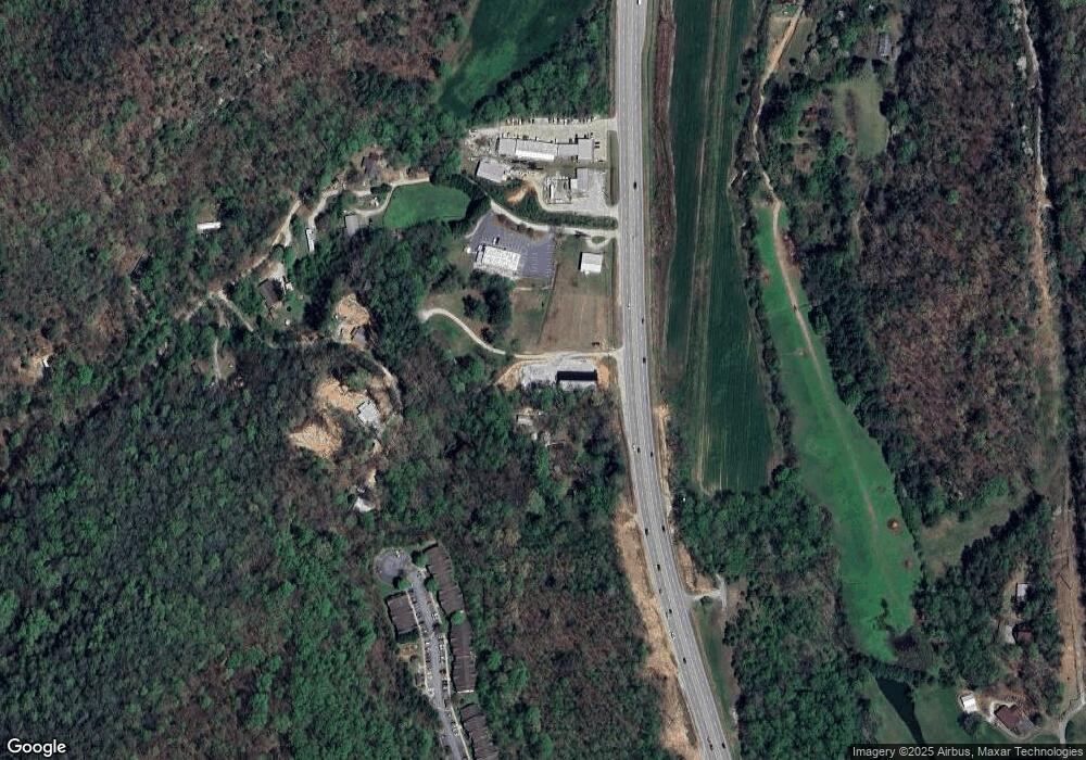
Map
Nearby Homes
- 52 Lucky Ln
- 548 Black Rock Mountain Pkwy
- 153 Coleman Heights Ln
- 36 Maple Springs Ln
- 0 John Beck Dockins Rd Unit 10606531
- 37 Erwin St
- 173 Blacks Creek Dr
- 0 Green St Unit 10565711
- 0 Black Rock Estates Unit 25 10374676
- 333 Favor
- 137 Olds Mountain Peak Rd
- 55 Wallace St
- 0 Stella Ln Unit 10485082
- 1422 Wolffork Rd
- 11 Electric Ave
- 1 Electric Ave
- 46 Clare Ln
- 0 Sylvan Lake Dr Unit 47,48 10485897
- 0 Forest Canopy Way Unit 11
- 0 Crest Ln Unit LOT 5 10572844
- 3901 Highway 441 N Unit 106
- 3835 Highway 441 N
- 3917 Highway 441 N
- 33 Sherin Dr
- 276 Sherin Dr
- 0 Sherin Dr Unit 7047065
- 0 Sherin Dr Unit 8978972
- 175 Sherin Dr
- 4047 Us-441 S
- 4047 Highway 441
- 3766 Hwy 441 N
- 3901 Hwy 441 N
- 3901 Hwy 441 N Unit 106
- 207 Sherin Dr
- 262 Sherin
- 160 Marsen Knob Dr
- 262 Sherin Dr
- 88 Yorkhouse Rd
- 88 Yorkhouse Rd
- 133 Marsen Knob Dr