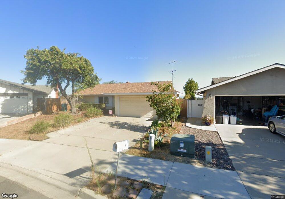
3902 Bedford Ave Oceanside, CA 92056
Mira Costa NeighborhoodEstimated Value: $701,000 - $851,000
3
Beds
2
Baths
1,461
Sq Ft
$554/Sq Ft
Est. Value
About This Home
This home is located at 3902 Bedford Ave, Oceanside, CA 92056 and is currently estimated at $809,011, approximately $553 per square foot. 3902 Bedford Ave is a home located in San Diego County with nearby schools including Christa McAuliffe Elementary School, Martin Luther King Jr. Middle School, and El Camino High School.
Ownership History
Date
Name
Owned For
Owner Type
Purchase Details
Closed on
May 6, 1996
Sold by
Schott Annette L
Bought by
Griffith Judith A
Current Estimated Value
Home Financials for this Owner
Home Financials are based on the most recent Mortgage that was taken out on this home.
Original Mortgage
$109,000
Outstanding Balance
$6,194
Interest Rate
7.97%
Estimated Equity
$802,817
Purchase Details
Closed on
May 6, 1985
Purchase Details
Closed on
Nov 30, 1984
Create a Home Valuation Report for This Property
The Home Valuation Report is an in-depth analysis detailing your home's value as well as a comparison with similar homes in the area
Home Values in the Area
Average Home Value in this Area
Purchase History
| Date | Buyer | Sale Price | Title Company |
|---|---|---|---|
| Griffith Judith A | $136,500 | First American Title | |
| -- | $104,900 | -- | |
| -- | $101,000 | -- |
Source: Public Records
Mortgage History
| Date | Status | Borrower | Loan Amount |
|---|---|---|---|
| Open | Griffith Judith A | $109,000 |
Source: Public Records
Tax History
| Year | Tax Paid | Tax Assessment Tax Assessment Total Assessment is a certain percentage of the fair market value that is determined by local assessors to be the total taxable value of land and additions on the property. | Land | Improvement |
|---|---|---|---|---|
| 2025 | $2,431 | $224,235 | $99,659 | $124,576 |
| 2024 | $2,431 | $219,839 | $97,705 | $122,134 |
| 2023 | $2,355 | $215,530 | $95,790 | $119,740 |
| 2022 | $2,317 | $211,305 | $93,912 | $117,393 |
| 2021 | $2,405 | $207,163 | $92,071 | $115,092 |
| 2020 | $2,253 | $205,039 | $91,127 | $113,912 |
| 2019 | $2,187 | $201,020 | $89,341 | $111,679 |
| 2018 | $2,163 | $197,080 | $87,590 | $109,490 |
| 2017 | $70 | $193,217 | $85,873 | $107,344 |
| 2016 | $2,051 | $189,430 | $84,190 | $105,240 |
| 2015 | $1,991 | $186,586 | $82,926 | $103,660 |
| 2014 | $1,914 | $182,932 | $81,302 | $101,630 |
Source: Public Records
Map
Nearby Homes
- 3945 Shenandoah Dr
- 2801 College Blvd
- 3929 Marvin St
- 4062 Lewis St
- 4081 Thomas St
- 4116 Chasin St
- 4145 Marcella St
- 2858 Lehigh Ct
- 2868 Brandeis Dr
- 4129 Terry St
- 4123 Jonathon St
- 4128 Terry St
- 400 Sea Cliff Way Unit 402
- 4231 Thomas St
- 3258 San Helena Dr
- 3278 San Tomas Dr
- 2839 Emerald Dr
- 3531 Cameo Dr Unit 98
- 675 Grant Ct
- 4220 Apache St
- 3904 Bedford Ave
- 3900 Bedford Ave
- 3919 Wooster Dr
- 3908 Bedford Ave
- 3901 Bedford Ave
- 3913 Wooster Dr
- 3925 Wooster Dr
- 2745 Pauline Way
- 3907 Wooster Dr
- 3931 Wooster Dr
- 3912 Bedford Ave
- 3907 Bedford Ave
- 3903 Bedford Ave
- 3901 Wooster Dr
- 3937 Wooster Dr
- 3916 Bedford Ave
- 2747 Pauline Way
- 3915 Bedford Ave
- 3900 Shenandoah Dr
- 3943 Wooster Dr
Your Personal Tour Guide
Ask me questions while you tour the home.