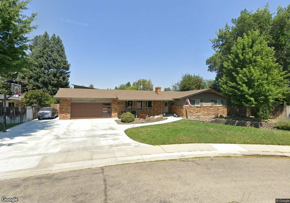
3902 N Rampart St Boise, ID 83704
West Boise NeighborhoodEstimated Value: $609,000 - $673,000
5
Beds
3
Baths
3,400
Sq Ft
$190/Sq Ft
Est. Value
About This Home
This home is located at 3902 N Rampart St, Boise, ID 83704 and is currently estimated at $646,684, approximately $190 per square foot. 3902 N Rampart St is a home located in Ada County with nearby schools including Mountain View Elementary School, Fairmont Junior High School, and Capital High School.
Ownership History
Date
Name
Owned For
Owner Type
Purchase Details
Closed on
Mar 29, 2011
Sold by
Todd Sharp W and Todd Janice E
Bought by
Cutler Andrew Ryan and Cutler Andrea
Current Estimated Value
Home Financials for this Owner
Home Financials are based on the most recent Mortgage that was taken out on this home.
Original Mortgage
$194,930
Outstanding Balance
$135,486
Interest Rate
4.96%
Mortgage Type
FHA
Estimated Equity
$511,198
Create a Home Valuation Report for This Property
The Home Valuation Report is an in-depth analysis detailing your home's value as well as a comparison with similar homes in the area
Home Values in the Area
Average Home Value in this Area
Purchase History
| Date | Buyer | Sale Price | Title Company |
|---|---|---|---|
| Cutler Andrew Ryan | -- | Titleone Meridia |
Source: Public Records
Mortgage History
| Date | Status | Borrower | Loan Amount |
|---|---|---|---|
| Open | Cutler Andrew Ryan | $194,930 |
Source: Public Records
Tax History Compared to Growth
Tax History
| Year | Tax Paid | Tax Assessment Tax Assessment Total Assessment is a certain percentage of the fair market value that is determined by local assessors to be the total taxable value of land and additions on the property. | Land | Improvement |
|---|---|---|---|---|
| 2025 | $3,916 | $567,300 | -- | -- |
| 2024 | $4,021 | $556,500 | -- | -- |
| 2023 | $4,021 | $546,100 | $0 | $0 |
| 2022 | $4,650 | $661,300 | $0 | $0 |
| 2021 | $4,325 | $520,700 | $0 | $0 |
| 2020 | $3,755 | $416,300 | $0 | $0 |
| 2019 | $3,841 | $383,100 | $0 | $0 |
| 2018 | $3,182 | $309,600 | $0 | $0 |
| 2017 | $2,792 | $274,700 | $0 | $0 |
| 2016 | $2,591 | $253,000 | $0 | $0 |
| 2015 | $1,913 | $230,700 | $0 | $0 |
| 2012 | -- | $179,400 | $0 | $0 |
Source: Public Records
Map
Nearby Homes
- 4024 N Cole Rd
- 7557 W Iron Dr
- 4340 N Mandas Ln
- 7451 W Swain Ln
- 7469 W Swain Ln
- 7481 W Swain Ln
- 7414 W Swain Ln
- 3308 Acre Ln
- 7131 W Ustick Rd
- 7125 W Ustick Rd
- 7129 W Ustick Rd
- 6829 W Ustick Rd
- 8007 W Scardale Ct
- 6817 W Ustick Rd
- 6821 W Ustick Rd
- 6825 W Ustick Rd
- 7701 W Ustick Rd Unit 59
- 7100 W Pomona Rd
- 5114 Alworth St
- 3731 N Buckingham Dr
- 3824 N Rampart St
- 3921 W Clement Rd
- 3914 N Rampart St
- 3929 W Clement Rd
- 3915 W Clement Rd
- 3819 N Rampart St
- 3909 W Clement Rd
- 3937 W Clement Rd
- 3922 N Rampart St
- 3901 W Clement Rd
- 3923 N Rampart St
- 3807 N Rampart St
- 3922 W Clement Rd
- 3930 W Clement Rd
- 3916 W Clement Rd
- 3939 N Rampart St
- 3945 W Clement Rd
- 3800 N Rampart St
- 7310 W Kettering Ave
- 3811 W Clement Rd