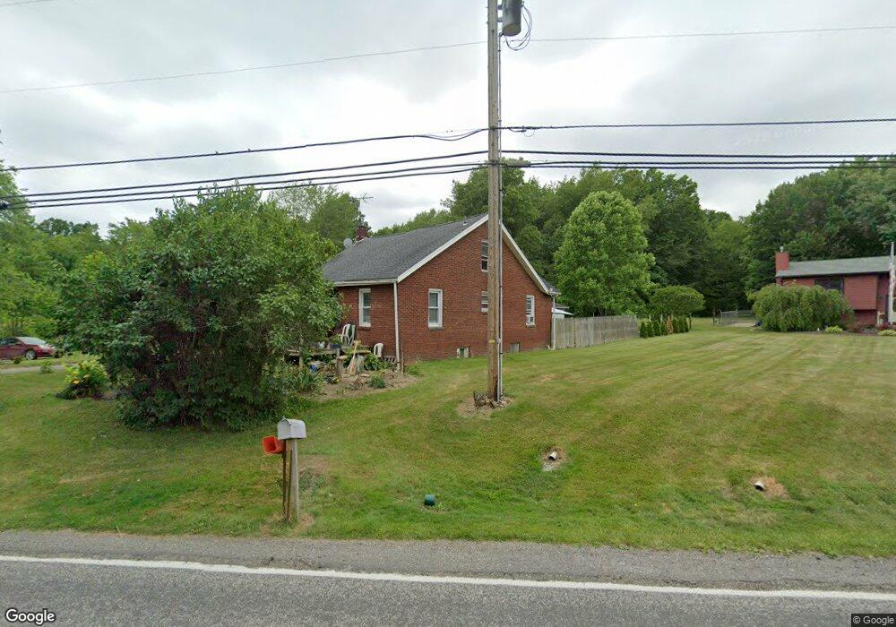
3903 Cook Rd Rootstown, OH 44272
Estimated Value: $136,820 - $245,000
2
Beds
1
Bath
1,078
Sq Ft
$168/Sq Ft
Est. Value
About This Home
This home is located at 3903 Cook Rd, Rootstown, OH 44272 and is currently estimated at $181,455, approximately $168 per square foot. 3903 Cook Rd is a home located in Portage County with nearby schools including Rootstown Middle School - Schnee Building and Rootstown High School.
Ownership History
Date
Name
Owned For
Owner Type
Purchase Details
Closed on
May 9, 2002
Sold by
Ferguson James A and Jones Dawn L
Bought by
Sanicky Lissa A
Current Estimated Value
Home Financials for this Owner
Home Financials are based on the most recent Mortgage that was taken out on this home.
Original Mortgage
$56,000
Outstanding Balance
$23,879
Interest Rate
7.07%
Estimated Equity
$157,576
Purchase Details
Closed on
Mar 11, 1998
Sold by
Ellsworth Timothy P
Bought by
Ferguson James A and Jones Dawn L
Home Financials for this Owner
Home Financials are based on the most recent Mortgage that was taken out on this home.
Original Mortgage
$67,450
Interest Rate
7.23%
Mortgage Type
New Conventional
Purchase Details
Closed on
Dec 22, 1997
Sold by
Moskal Agnes C
Bought by
Ellsworth Timothy P and Kiser Gregory D
Create a Home Valuation Report for This Property
The Home Valuation Report is an in-depth analysis detailing your home's value as well as a comparison with similar homes in the area
Purchase History
| Date | Buyer | Sale Price | Title Company |
|---|---|---|---|
| Sanicky Lissa A | $80,000 | Approved Statewide Title Age | |
| Ferguson James A | $71,000 | -- | |
| Ellsworth Timothy P | $52,000 | -- |
Source: Public Records
Mortgage History
| Date | Status | Borrower | Loan Amount |
|---|---|---|---|
| Open | Sanicky Lissa A | $56,000 | |
| Previous Owner | Ferguson James A | $67,450 | |
| Closed | Ellsworth Timothy P | -- |
Source: Public Records
Tax History Compared to Growth
Tax History
| Year | Tax Paid | Tax Assessment Tax Assessment Total Assessment is a certain percentage of the fair market value that is determined by local assessors to be the total taxable value of land and additions on the property. | Land | Improvement |
|---|---|---|---|---|
| 2024 | $1,678 | $40,950 | $9,800 | $31,150 |
| 2023 | $1,295 | $27,870 | $8,650 | $19,220 |
| 2022 | $1,271 | $27,870 | $8,650 | $19,220 |
| 2021 | $1,261 | $27,870 | $8,650 | $19,220 |
| 2020 | $1,153 | $24,510 | $8,230 | $16,280 |
| 2019 | $1,157 | $24,510 | $8,230 | $16,280 |
| 2017 | $1,213 | $24,430 | $8,750 | $15,680 |
| 2016 | $1,180 | $24,430 | $8,750 | $15,680 |
Source: Public Records
Map
Nearby Homes
- 3689 Cherry Hill
- 3987 J A Vaughn Ave
- 0 Lynn Rd Unit 5110102
- 4106 Lynn Rd
- V/L 2 Lynn Rd
- V/L Lynn Rd
- 0 New Milford Rd Unit 11489599
- 0 New Milford Rd Unit 5108183
- 4225 Hattrick Rd
- 4415 Farmette Dr
- 4691 Scenic Dr
- sub lot Lane Ave
- 3637 Old Forge Rd
- 3401 Biltz Rd
- 3021 Hartville Rd
- 4140 Sandy Lake Rd
- 4058 Bayberry Knoll Ln
- 3136 Bird Dr
- 3925 Summit Rd
- 4958 Bassett Rd
- 3899 Cook Rd
- 3909 Cook Rd
- 3904 Cook Rd
- 3919 Cook Rd
- 3927 Cook Rd
- 3904 West Dr
- 3910 West Dr
- 3918 West Dr
- VL 11.5 Cook Rd
- 3922 Cook Rd
- 3886 Cook Rd
- 3928 West Dr
- 3937 Cook Rd
- 3872 Cook Rd
- 3948 West Dr
- 3864 Cook Rd
- 0 Cook Rd Unit 4031406
- 0 Cook Rd Unit 4009107
- 0 Cook Rd Unit 3225034
- 0 Cook Rd Unit 3225076