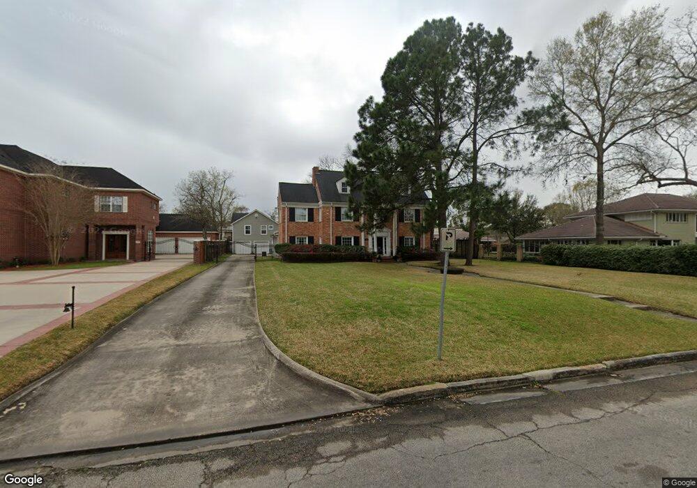
3904 Roseneath Dr Houston, TX 77021
MacGregor NeighborhoodEstimated Value: $664,000 - $832,000
3
Beds
4
Baths
3,595
Sq Ft
$211/Sq Ft
Est. Value
About This Home
This home is located at 3904 Roseneath Dr, Houston, TX 77021 and is currently estimated at $759,017, approximately $211 per square foot. 3904 Roseneath Dr is a home located in Harris County with nearby schools including Peck Elementary School, Cullen Middle School, and Yates High School.
Ownership History
Date
Name
Owned For
Owner Type
Purchase Details
Closed on
Aug 1, 2001
Sold by
Jackson Fred E and Jackson Dorothy
Bought by
Robinson Terry and Robinson Jennifer
Current Estimated Value
Home Financials for this Owner
Home Financials are based on the most recent Mortgage that was taken out on this home.
Original Mortgage
$188,000
Outstanding Balance
$72,806
Interest Rate
7.05%
Estimated Equity
$686,211
Create a Home Valuation Report for This Property
The Home Valuation Report is an in-depth analysis detailing your home's value as well as a comparison with similar homes in the area
Home Values in the Area
Average Home Value in this Area
Purchase History
| Date | Buyer | Sale Price | Title Company |
|---|---|---|---|
| Robinson Terry | -- | -- |
Source: Public Records
Mortgage History
| Date | Status | Borrower | Loan Amount |
|---|---|---|---|
| Open | Robinson Terry | $188,000 | |
| Closed | Robinson Terry | $23,500 |
Source: Public Records
Tax History Compared to Growth
Tax History
| Year | Tax Paid | Tax Assessment Tax Assessment Total Assessment is a certain percentage of the fair market value that is determined by local assessors to be the total taxable value of land and additions on the property. | Land | Improvement |
|---|---|---|---|---|
| 2025 | $10,548 | $698,721 | $350,900 | $347,821 |
| 2024 | $10,548 | $683,778 | $350,900 | $332,878 |
| 2023 | $10,548 | $675,371 | $350,900 | $324,471 |
| 2022 | $13,037 | $619,030 | $350,900 | $268,130 |
| 2021 | $11,922 | $511,531 | $255,200 | $256,331 |
| 2020 | $12,102 | $477,095 | $255,200 | $221,895 |
| 2019 | $12,731 | $481,228 | $255,200 | $226,028 |
| 2018 | $9,488 | $481,228 | $255,200 | $226,028 |
| 2017 | $12,722 | $481,228 | $255,200 | $226,028 |
| 2016 | $12,722 | $481,228 | $255,200 | $226,028 |
| 2015 | $9,268 | $510,544 | $255,200 | $255,344 |
| 2014 | $9,268 | $457,000 | $159,500 | $297,500 |
Source: Public Records
Map
Nearby Homes
- 3827 Julius Ln
- 3902 Charleston St
- 4013 Griggs Rd Unit E
- 4013 Griggs Rd Unit D
- 4031 Fernwood Dr
- 3729 Rio Vista St
- 4107 Charleston St
- 0 Southmore Blvd
- 0 S Macgregor Way Unit 94380145
- 4014 England Ct E
- 5908 Saint Augustine St Unit B
- 5908 Saint Augustine St Unit C
- 4211 Charleston St
- 3620 S Macgregor Way
- 3738 La Salette St
- 3714 Odin Ct
- 3702 Charleston St
- 5920 Conley St
- 4302 Fernwood Dr
- 5121 Grantwood St
- 3912 Roseneath Dr
- 3902 Roseneath Dr
- 3905 Fernwood Dr
- 3909 Fernwood Dr
- 3901 Fernwood Dr
- 3917 Fernwood Dr
- 3922 Roseneath Dr
- 3923 Fernwood Dr
- 3904 S Macgregor Way
- 3932 West S Macgregor Way
- 3932 S Macgregor Way
- 3932 S Macgregor Way
- 3825 Julius Ln
- 3939 Roseneath Dr
- 3927 Fernwood Dr
- 3834 Julius Ln
- 3821 Julius Ln
- 3910 Fernwood Dr
- 3906 Fernwood Dr
- 3914 Fernwood Dr