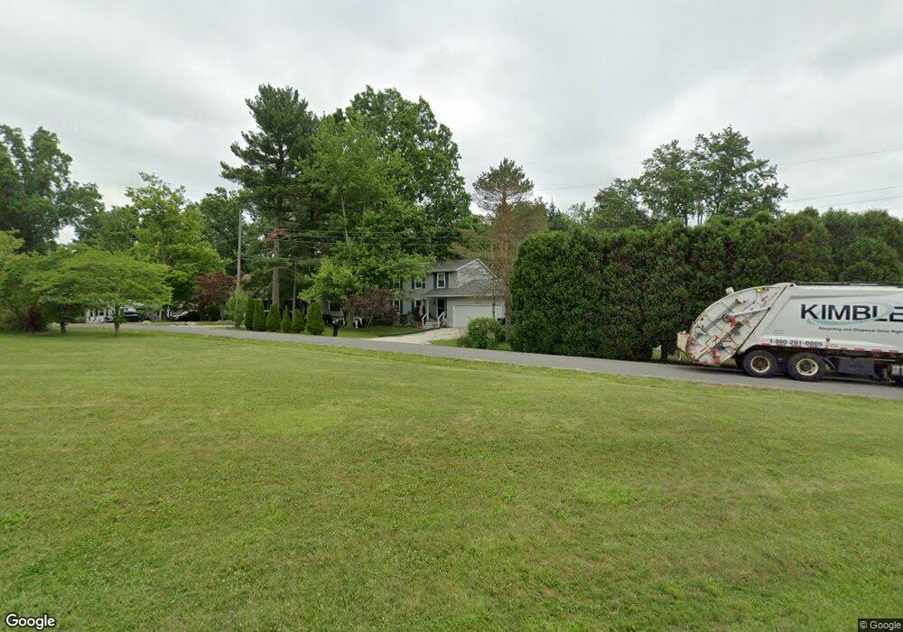
3904 West Dr Rootstown, OH 44272
Estimated Value: $298,958 - $316,000
3
Beds
3
Baths
1,763
Sq Ft
$175/Sq Ft
Est. Value
About This Home
This home is located at 3904 West Dr, Rootstown, OH 44272 and is currently estimated at $309,240, approximately $175 per square foot. 3904 West Dr is a home located in Portage County with nearby schools including Rootstown Middle School - Schnee Building and Rootstown High School.
Ownership History
Date
Name
Owned For
Owner Type
Purchase Details
Closed on
Jul 11, 2000
Sold by
Mullaly Robert C and Mullaly Martha
Bought by
Rude John E and Rude Cynthia M
Current Estimated Value
Home Financials for this Owner
Home Financials are based on the most recent Mortgage that was taken out on this home.
Original Mortgage
$116,000
Outstanding Balance
$42,449
Interest Rate
8.55%
Mortgage Type
Construction
Estimated Equity
$266,791
Create a Home Valuation Report for This Property
The Home Valuation Report is an in-depth analysis detailing your home's value as well as a comparison with similar homes in the area
Purchase History
| Date | Buyer | Sale Price | Title Company |
|---|---|---|---|
| Rude John E | -- | Approved Statewide Title Age |
Source: Public Records
Mortgage History
| Date | Status | Borrower | Loan Amount |
|---|---|---|---|
| Open | Rude John E | $116,000 |
Source: Public Records
Tax History
| Year | Tax Paid | Tax Assessment Tax Assessment Total Assessment is a certain percentage of the fair market value that is determined by local assessors to be the total taxable value of land and additions on the property. | Land | Improvement |
|---|---|---|---|---|
| 2024 | $3,562 | $89,500 | $6,620 | $82,880 |
| 2023 | $2,880 | $64,470 | $5,810 | $58,660 |
| 2022 | $2,850 | $64,470 | $5,810 | $58,660 |
| 2021 | $3,022 | $64,470 | $5,810 | $58,660 |
| 2020 | $2,539 | $55,230 | $5,530 | $49,700 |
| 2019 | $3,486 | $55,230 | $5,530 | $49,700 |
| 2017 | $2,970 | $49,740 | $7,880 | $41,860 |
| 2016 | $2,858 | $49,740 | $7,880 | $41,860 |
Source: Public Records
Map
Nearby Homes
- 4079 Siefer Dr
- 3689 Cherry Hill
- 3701 State Route 44
- 0 Lynn Rd Unit 5110102
- V/L 2 Lynn Rd
- V/L Lynn Rd
- 4225 Hattrick Rd
- 4415 Farmette Dr
- 4691 Scenic Dr
- sub lot Lane Ave
- 0 Tallmadge Rd Unit 5189301
- 0 Tallmadge Rd Unit 5189314
- 3637 Old Forge Rd
- 4556 Rootstown Rd
- 3021 Hartville Rd
- 4140 Sandy Lake Rd
- 4058 Bayberry Knoll Ln
- 3925 Summit Rd
- 4958 Bassett Rd
- 3080 Saxe Rd
Your Personal Tour Guide
Ask me questions while you tour the home.