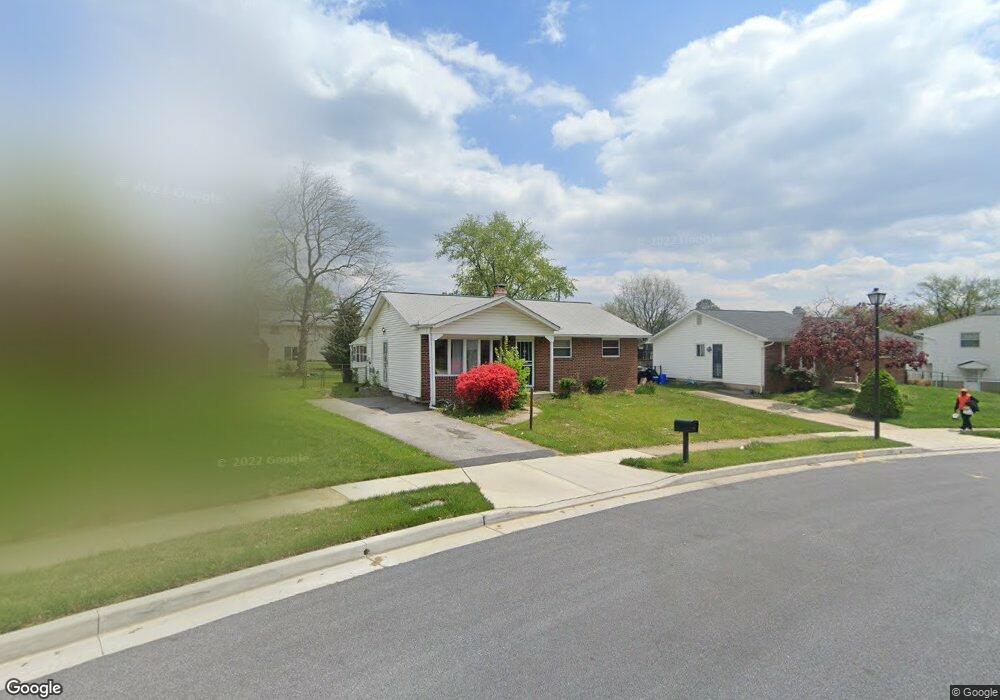
3905 Sadie Rd Randallstown, MD 21133
Estimated Value: $274,018 - $413,000
--
Bed
1
Bath
1,044
Sq Ft
$329/Sq Ft
Est. Value
About This Home
This home is located at 3905 Sadie Rd, Randallstown, MD 21133 and is currently estimated at $343,255, approximately $328 per square foot. 3905 Sadie Rd is a home located in Baltimore County with nearby schools including Church Lane Elementary Technology School, Northwest Academy of Health Sciences, and Randallstown High School.
Ownership History
Date
Name
Owned For
Owner Type
Purchase Details
Closed on
Nov 5, 2007
Sold by
Nicholas Miley V Nicholas Carl H
Bought by
Nicholas Miley
Current Estimated Value
Home Financials for this Owner
Home Financials are based on the most recent Mortgage that was taken out on this home.
Original Mortgage
$385,500
Outstanding Balance
$227,473
Interest Rate
5.11%
Mortgage Type
Reverse Mortgage Home Equity Conversion Mortgage
Estimated Equity
$115,782
Purchase Details
Closed on
Sep 15, 2007
Sold by
Nicholas Miley V Nicholas Carl H
Bought by
Nicholas Miley
Home Financials for this Owner
Home Financials are based on the most recent Mortgage that was taken out on this home.
Original Mortgage
$385,500
Outstanding Balance
$227,473
Interest Rate
5.11%
Mortgage Type
Reverse Mortgage Home Equity Conversion Mortgage
Estimated Equity
$115,782
Create a Home Valuation Report for This Property
The Home Valuation Report is an in-depth analysis detailing your home's value as well as a comparison with similar homes in the area
Home Values in the Area
Average Home Value in this Area
Purchase History
| Date | Buyer | Sale Price | Title Company |
|---|---|---|---|
| Nicholas Miley | -- | -- | |
| Nicholas Miley | -- | -- |
Source: Public Records
Mortgage History
| Date | Status | Borrower | Loan Amount |
|---|---|---|---|
| Open | Nicholas Miley | $385,500 | |
| Previous Owner | Nicholas Miley | $385,500 |
Source: Public Records
Tax History Compared to Growth
Tax History
| Year | Tax Paid | Tax Assessment Tax Assessment Total Assessment is a certain percentage of the fair market value that is determined by local assessors to be the total taxable value of land and additions on the property. | Land | Improvement |
|---|---|---|---|---|
| 2025 | $3,262 | $247,633 | -- | -- |
| 2024 | $3,262 | $230,300 | $74,300 | $156,000 |
| 2023 | $1,564 | $213,433 | $0 | $0 |
| 2022 | $2,964 | $196,567 | $0 | $0 |
| 2021 | $2,857 | $179,700 | $56,300 | $123,400 |
| 2020 | $2,857 | $172,367 | $0 | $0 |
| 2019 | $2,632 | $165,033 | $0 | $0 |
| 2018 | $2,277 | $157,700 | $56,300 | $101,400 |
| 2017 | $2,104 | $149,800 | $0 | $0 |
| 2016 | $2,010 | $141,900 | $0 | $0 |
| 2015 | $2,010 | $134,000 | $0 | $0 |
| 2014 | $2,010 | $134,000 | $0 | $0 |
Source: Public Records
Map
Nearby Homes
- 8819 Winterbrook Rd
- 8541 Lucerne Rd
- 4001 Starbrook Rd
- 3715 Hendon Rd
- 3907 Roxanne Rd
- 3659 Brenbrook Dr
- 3709 Norris Ave
- 3714 Stoneybrook Rd
- 8808 Church Ln
- 8829 Falcon Ridge Dr
- 3618 Briarstone Rd
- 3709 Fieldstone Rd
- 3821 Brownhill Rd
- 8513 Charlton Rd
- 4108 Century Towne Rd
- 9044 Allenswood Rd
- 8604 Woodbrook Ct
- 4818 Oakland Park Rd
- 8407 Billson Rd
- 4812 Valley Forge Rd
- 3903 Sadie Rd
- 3907 Sadie Rd
- 8805 Sigrid Rd
- 8803 Sigrid Rd
- 8807 Sigrid Rd
- 3909 Sadie Rd
- 8736 Meadow Heights Rd
- 3901 Sadie Rd
- 8809 Sigrid Rd
- 3902 Sadie Rd
- 3904 Sadie Rd
- 8811 Sigrid Rd
- 8734 Meadow Heights Rd
- 3911 Sadie Rd
- 3900 Sadie Rd
- 8813 Sigrid Rd
- 3906 Sadie Rd
- 8802 Meadow Heights Rd
- 3913 Sadie Rd
- 8815 Sigrid Rd