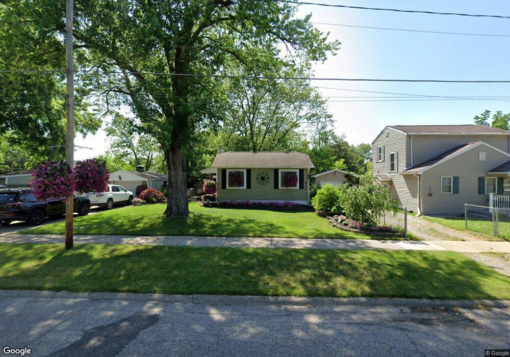
3906 Brunswick Ave Flint, MI 48507
South Side NeighborhoodEstimated Value: $55,000 - $118,112
3
Beds
1
Bath
914
Sq Ft
$85/Sq Ft
Est. Value
About This Home
This home is located at 3906 Brunswick Ave, Flint, MI 48507 and is currently estimated at $77,778, approximately $85 per square foot. 3906 Brunswick Ave is a home located in Genesee County with nearby schools including Neithercut Elementary School, Flint Southwestern Classical Academy, and International Academy of Flint (K-12).
Ownership History
Date
Name
Owned For
Owner Type
Purchase Details
Closed on
Sep 5, 2006
Sold by
Wilbur Ian and Wilbur Kimberly
Bought by
Leonard Melissa
Current Estimated Value
Home Financials for this Owner
Home Financials are based on the most recent Mortgage that was taken out on this home.
Original Mortgage
$72,165
Outstanding Balance
$52,474
Interest Rate
10.99%
Mortgage Type
Purchase Money Mortgage
Estimated Equity
$25,304
Purchase Details
Closed on
Sep 8, 2004
Sold by
Howarth Daniel Gerald and Howarth Julie L
Bought by
Wilbur Ian
Create a Home Valuation Report for This Property
The Home Valuation Report is an in-depth analysis detailing your home's value as well as a comparison with similar homes in the area
Home Values in the Area
Average Home Value in this Area
Purchase History
| Date | Buyer | Sale Price | Title Company |
|---|---|---|---|
| Leonard Melissa | $84,900 | Nations | |
| Wilbur Ian | $71,900 | First American Title |
Source: Public Records
Mortgage History
| Date | Status | Borrower | Loan Amount |
|---|---|---|---|
| Open | Leonard Melissa | $72,165 |
Source: Public Records
Tax History
| Year | Tax Paid | Tax Assessment Tax Assessment Total Assessment is a certain percentage of the fair market value that is determined by local assessors to be the total taxable value of land and additions on the property. | Land | Improvement |
|---|---|---|---|---|
| 2025 | $1,066 | $22,300 | $0 | $0 |
| 2024 | $963 | $23,100 | $0 | $0 |
| 2023 | $944 | $18,600 | $0 | $0 |
| 2022 | $0 | $16,600 | $0 | $0 |
| 2021 | $983 | $15,100 | $0 | $0 |
| 2020 | $884 | $15,100 | $0 | $0 |
| 2019 | $860 | $15,600 | $0 | $0 |
| 2018 | $865 | $13,200 | $0 | $0 |
| 2017 | $841 | $0 | $0 | $0 |
| 2016 | $835 | $0 | $0 | $0 |
| 2015 | -- | $0 | $0 | $0 |
| 2014 | -- | $0 | $0 | $0 |
| 2012 | -- | $15,900 | $0 | $0 |
Source: Public Records
Map
Nearby Homes
- 3902 Brunswick Ave
- 822 Campbell St
- 1028 Campbell St
- 845 Alvord Ave
- 806 Alvord Ave
- 805 Alvord Ave
- 825 Vermilya Ave
- 829 Clinton St
- 1130 W Atherton Rd
- 912 Huron St
- 805 Vermilya Ave
- 1015 Alvord Ave
- 652 Crawford St
- 855 Victoria Ave
- 1234 Huron St
- 1410 Berrywood Ln
- 612 Clinton St
- 1310 Huron St
- 839 SiMcOe Ave
- 1210 Pinehurst Ave
- 912 Leland St
- 3918 Brunswick Ave
- 916 Leland St
- 915 Campbell St
- 920 Leland St
- 3909 Brunswick Ave
- 3905 Brunswick Ave
- 3913 Brunswick Ave
- 857 Campbell St
- 923 Campbell St
- 858 Leland St
- 902 Campbell St Unit Bldg-Unit
- 902 Campbell St
- 939 Campbell St
- 927 Campbell St Unit Bldg-Unit
- 927 Campbell St
- 3817 Brunswick Ave
- 854 Leland St
- 849 Campbell St
- 911 Leland St
Your Personal Tour Guide
Ask me questions while you tour the home.