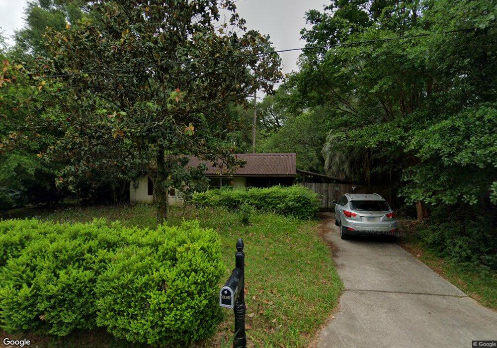
3909 Cates Ave Unit 1 Tallahassee, FL 32310
University NeighborhoodEstimated Value: $119,000 - $176,000
2
Beds
1
Bath
836
Sq Ft
$177/Sq Ft
Est. Value
About This Home
This home is located at 3909 Cates Ave Unit 1, Tallahassee, FL 32310 and is currently estimated at $147,586, approximately $176 per square foot. 3909 Cates Ave Unit 1 is a home located in Leon County with nearby schools including Sabal Palm Elementary School, R. Frank Nims Middle School, and James Rickards High School.
Ownership History
Date
Name
Owned For
Owner Type
Purchase Details
Closed on
May 13, 2021
Sold by
Wright Kaci L
Bought by
Daniels Breanna L
Current Estimated Value
Home Financials for this Owner
Home Financials are based on the most recent Mortgage that was taken out on this home.
Original Mortgage
$65,400
Outstanding Balance
$59,176
Interest Rate
3%
Mortgage Type
New Conventional
Estimated Equity
$88,410
Purchase Details
Closed on
Jul 12, 2011
Sold by
Liles Connie W
Bought by
Wright Kaci L and Daniels Breanna L
Home Financials for this Owner
Home Financials are based on the most recent Mortgage that was taken out on this home.
Original Mortgage
$54,900
Interest Rate
4.75%
Mortgage Type
FHA
Purchase Details
Closed on
Nov 8, 2007
Sold by
Liles Connie W
Bought by
Liles Connie W
Create a Home Valuation Report for This Property
The Home Valuation Report is an in-depth analysis detailing your home's value as well as a comparison with similar homes in the area
Home Values in the Area
Average Home Value in this Area
Purchase History
| Date | Buyer | Sale Price | Title Company |
|---|---|---|---|
| Daniels Breanna L | $52,500 | Advantage Title Group Llc | |
| Wright Kaci L | $60,000 | Advantage Title Group Llc | |
| Liles Connie W | -- | Attorney |
Source: Public Records
Mortgage History
| Date | Status | Borrower | Loan Amount |
|---|---|---|---|
| Open | Daniels Breanna L | $65,400 | |
| Previous Owner | Wright Kaci L | $54,900 |
Source: Public Records
Tax History Compared to Growth
Tax History
| Year | Tax Paid | Tax Assessment Tax Assessment Total Assessment is a certain percentage of the fair market value that is determined by local assessors to be the total taxable value of land and additions on the property. | Land | Improvement |
|---|---|---|---|---|
| 2024 | $559 | $64,497 | -- | -- |
| 2023 | $553 | $62,618 | $0 | $0 |
| 2022 | $529 | $60,794 | $0 | $0 |
| 2021 | $533 | $59,023 | $0 | $0 |
| 2020 | $522 | $58,208 | $0 | $0 |
| 2019 | $520 | $56,899 | $0 | $0 |
| 2018 | $519 | $55,838 | $0 | $0 |
| 2017 | $519 | $54,690 | $0 | $0 |
| 2016 | $519 | $53,565 | $0 | $0 |
| 2015 | $519 | $53,193 | $0 | $0 |
| 2014 | $519 | $52,771 | $0 | $0 |
Source: Public Records
Map
Nearby Homes
- 1558 Rankin Ave
- 1528 Brook St
- 1526 Rankin Ave
- 1710 Eisenhower St
- 3660 Tyson Green Way Unit 3660
- 2766 Roberts Ave
- 3657 Tyson Green Way Unit 303
- 3349 Cypress Cove Ct
- 4111 Pond Cypress Ct
- 11-10-13 Lot 18
- 8744 Balada Dr
- 2352 Yorkshire Dr
- 2312 Jackson Bluff Rd
- 317 Mabry St Unit 923
- 317 Mabry St Unit 424
- 317 Mabry St Unit 213
- 2314 Oxford Rd
- 2306 Oxford Rd
- 104 Dixie Dr Unit A,B,C
- 1671 Corey Wood Cir
- 3909 Cates Ave
- 3909 Cates Dr
- 3905 Cates Ave
- 3913 Cates Ave
- 1613 Stanley Ave
- 3901 Cates Ave
- 1617 Stanley Ave Unit 1
- 1617 Stanley Ave
- 1622 Marcia Ave
- 3906 Cates Ave
- 3910 Cates Ave
- 3912 Cates Ave
- 3902 Cates Ave Unit 1
- 3902 Cates Ave
- 1621 Stanley Ave
- 1626 Marcia Ave
- 3914 Cates Ave
- 1614 Stanley Ave
- 1625 Stanley Ave
- 1618 Stanley Ave Unit 1