391 Brooks Rd Bristol, GA 31518
Estimated Value: $58,000 - $126,000
--
Bed
1
Bath
1,075
Sq Ft
$94/Sq Ft
Est. Value
About This Home
This home is located at 391 Brooks Rd, Bristol, GA 31518 and is currently estimated at $100,633, approximately $93 per square foot. 391 Brooks Rd is a home located in Appling County.
Ownership History
Date
Name
Owned For
Owner Type
Purchase Details
Closed on
Mar 14, 2018
Sold by
Barber Martha W
Bought by
Grady Thomas June W and Grady Thomas
Current Estimated Value
Purchase Details
Closed on
Sep 25, 2017
Sold by
Winn Robbie K
Bought by
Thomas June W
Purchase Details
Closed on
Jan 16, 2012
Sold by
Barber Martha W
Bought by
Winn Robbie K and Winn Jimmy L
Purchase Details
Closed on
Jun 9, 2011
Sold by
Winn Naomi B
Bought by
Barber Martha W and Thomas June W
Purchase Details
Closed on
Jan 27, 1991
Bought by
Winn Naomi B
Create a Home Valuation Report for This Property
The Home Valuation Report is an in-depth analysis detailing your home's value as well as a comparison with similar homes in the area
Home Values in the Area
Average Home Value in this Area
Purchase History
| Date | Buyer | Sale Price | Title Company |
|---|---|---|---|
| Grady Thomas June W | $39,054 | -- | |
| Thomas June W | -- | -- | |
| Winn Lesa A | -- | -- | |
| Barber Martha W | -- | -- | |
| Winn Robbie K | -- | -- | |
| Winn Jimmy Lee | -- | -- | |
| Winn Lesa A | -- | -- | |
| Winn Robbie K | -- | -- | |
| Barber Martha W | -- | -- | |
| Winn Naomi B | -- | -- |
Source: Public Records
Tax History Compared to Growth
Tax History
| Year | Tax Paid | Tax Assessment Tax Assessment Total Assessment is a certain percentage of the fair market value that is determined by local assessors to be the total taxable value of land and additions on the property. | Land | Improvement |
|---|---|---|---|---|
| 2024 | $759 | $36,915 | $2,040 | $34,875 |
| 2023 | $759 | $36,896 | $2,021 | $34,875 |
| 2022 | $736 | $28,500 | $2,021 | $26,479 |
| 2021 | $736 | $28,500 | $2,021 | $26,479 |
| 2020 | $764 | $28,500 | $2,021 | $26,479 |
| 2019 | $779 | $28,500 | $2,021 | $26,479 |
| 2018 | $531 | $19,070 | $2,021 | $17,049 |
| 2017 | $1,051 | $37,121 | $20,072 | $17,049 |
| 2016 | $1,034 | $37,121 | $20,072 | $17,049 |
| 2015 | $1,035 | $37,121 | $20,072 | $17,049 |
| 2014 | $1,037 | $37,121 | $20,072 | $17,049 |
| 2013 | -- | $37,121 | $20,072 | $17,049 |
Source: Public Records
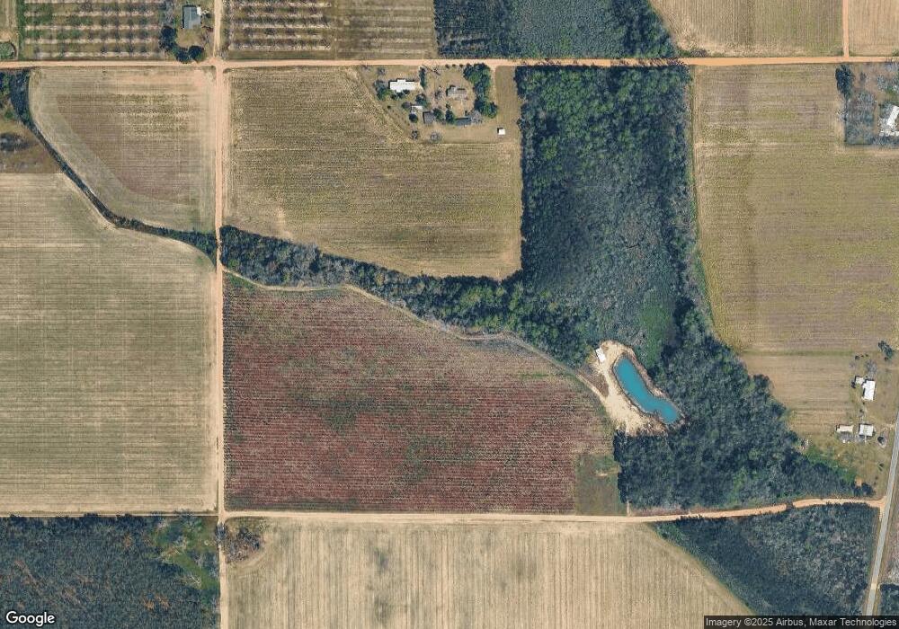
Map
Nearby Homes
- 0 Ward Boyette Rd
- 2115 Mill Creek Rd
- 2114 Mill Creek Rd
- 0 Crump Rd
- 6005 Chancey Rd
- 0 Metts-Overstreet Rd
- 0 Ga Hwy 32
- 59 Enoch Moody Rd
- 4866 Kville Rd
- 2203 N Hwy 121 Hwy
- 2460 Thornton Rd
- 362 Crosby Ln
- TRACT 2 Pine Cone Trail
- TRACT 3 Pine Cone Trail
- TRACT 11 Pine Cone Trail
- 0 Pine Cone Trail
- TRACT 5 Pine Cone Trail
- TRACT 7 Pine Cone Trail
- TRACT 9 Pine Cone Trail
- 1517 Granny Crosby Rd
- 793 Brooks Rd
- 538 Brooks Rd
- 2294 Olliff Thornton Rd
- 2776 Long Branch Rd
- 1547 Olliff Thornton Rd
- 395 Jack Deal Rd
- 185 Jack Deal Rd
- 1880 Olliff Thornton Rd
- 1528 Olliff Thornton Rd
- 1528 Olliff Thornton Rd
- 3564 Long Branch Rd
- 3806 Lake Chapel Church Rd
- 1339 Olliff Thornton Rd
- 1101 Michael Lake Rd
- 3419 Long Branch Rd
- 1240 Olliff Thornton Rd
- 3638 Long Branch Rd
- 1195 Michael Lake Rd
- 813 Michael Lake Rd
- 1098 Olliff Thornton Rd