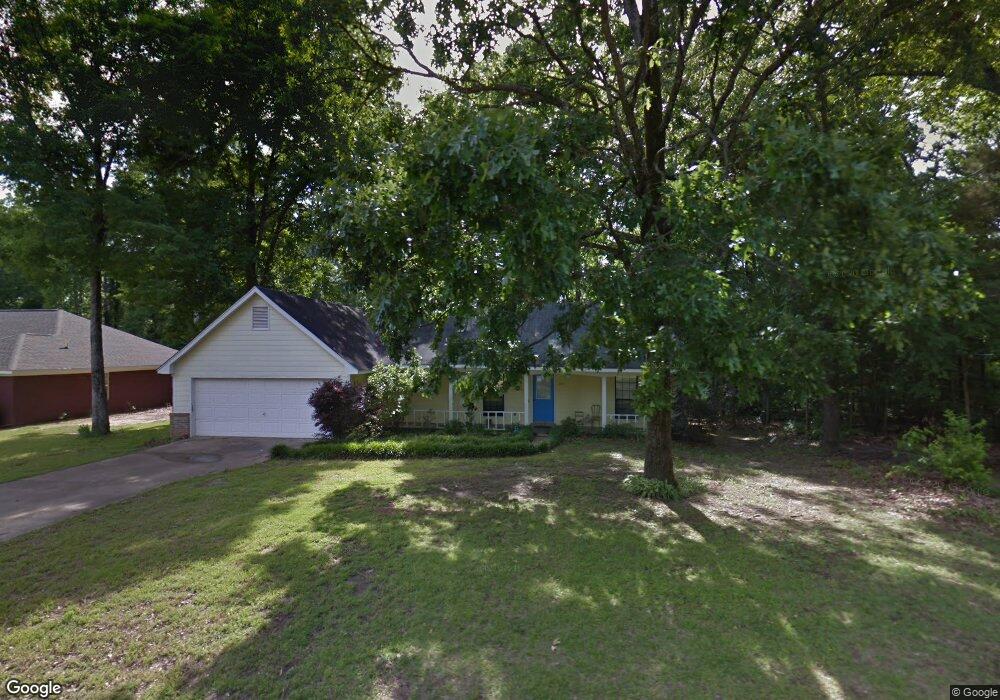
391 Drake Cir Columbus, MS 39702
Estimated Value: $158,000 - $232,615
3
Beds
2
Baths
1,519
Sq Ft
$126/Sq Ft
Est. Value
About This Home
This home is located at 391 Drake Cir, Columbus, MS 39702 and is currently estimated at $191,404, approximately $126 per square foot. 391 Drake Cir is a home.
Ownership History
Date
Name
Owned For
Owner Type
Purchase Details
Closed on
Dec 3, 2025
Sold by
Keary Patterson Real Estate Holdings Llc
Bought by
Larson Shaw and Reagan Shaw Reagan
Current Estimated Value
Home Financials for this Owner
Home Financials are based on the most recent Mortgage that was taken out on this home.
Original Mortgage
$245,471
Outstanding Balance
$245,471
Interest Rate
6.19%
Mortgage Type
FHA
Estimated Equity
-$54,067
Purchase Details
Closed on
Jun 20, 2025
Sold by
Osburn Carmen
Bought by
Keary Patterson Real Estate Holdings Llc
Purchase Details
Closed on
Jun 7, 2005
Sold by
Whitfield Charles W and Whitfield Faye L
Bought by
Osburn Carmen
Home Financials for this Owner
Home Financials are based on the most recent Mortgage that was taken out on this home.
Original Mortgage
$111,000
Interest Rate
5.7%
Create a Home Valuation Report for This Property
The Home Valuation Report is an in-depth analysis detailing your home's value as well as a comparison with similar homes in the area
Home Values in the Area
Average Home Value in this Area
Purchase History
| Date | Buyer | Sale Price | Title Company |
|---|---|---|---|
| Larson Shaw | -- | None Listed On Document | |
| Keary Patterson Real Estate Holdings Llc | -- | None Listed On Document | |
| Keary Patterson Real Estate Holdings Llc | -- | None Listed On Document | |
| Osburn Carmen | $109,000 | -- |
Source: Public Records
Mortgage History
| Date | Status | Borrower | Loan Amount |
|---|---|---|---|
| Open | Larson Shaw | $245,471 | |
| Previous Owner | Osburn Carmen | $111,000 |
Source: Public Records
Tax History
| Year | Tax Paid | Tax Assessment Tax Assessment Total Assessment is a certain percentage of the fair market value that is determined by local assessors to be the total taxable value of land and additions on the property. | Land | Improvement |
|---|---|---|---|---|
| 2025 | $906 | $12,323 | $0 | $0 |
| 2024 | $896 | $12,323 | $0 | $0 |
| 2023 | $739 | $10,748 | $0 | $0 |
| 2022 | $734 | $10,693 | $0 | $0 |
| 2021 | $696 | $10,693 | $0 | $0 |
| 2020 | $641 | $10,693 | $0 | $0 |
| 2019 | $465 | $8,457 | $0 | $0 |
| 2018 | $465 | $8,435 | $0 | $0 |
| 2017 | $431 | $8,435 | $0 | $0 |
| 2016 | $431 | $8,435 | $0 | $0 |
| 2015 | $455 | $8,708 | $0 | $0 |
| 2014 | $455 | $8,708 | $0 | $0 |
Source: Public Records
Map
Nearby Homes
- 2654 Yorkville Rd E
- 164 Sleepy Fawn Park
- 178 Rogers Way
- 17 Paige Cove
- 836 Oswalt Rd
- 346 Williams Place
- 60 1st Colony Dr
- 9 Monticello Cir
- 220 Woodridge Place
- 274 Hughes Rd
- 59 Savannah St
- 16 Jenny Ln
- 91 Wilson Dr
- 79 Jenny Ln
- 262 Center Rd
- 0 Yorkville Rd E
- 0 Mckay Dr
- 0 Fiesta Dr
- 3106 Mississippi 69
- 0 S Lehmberg Rd
Your Personal Tour Guide
Ask me questions while you tour the home.