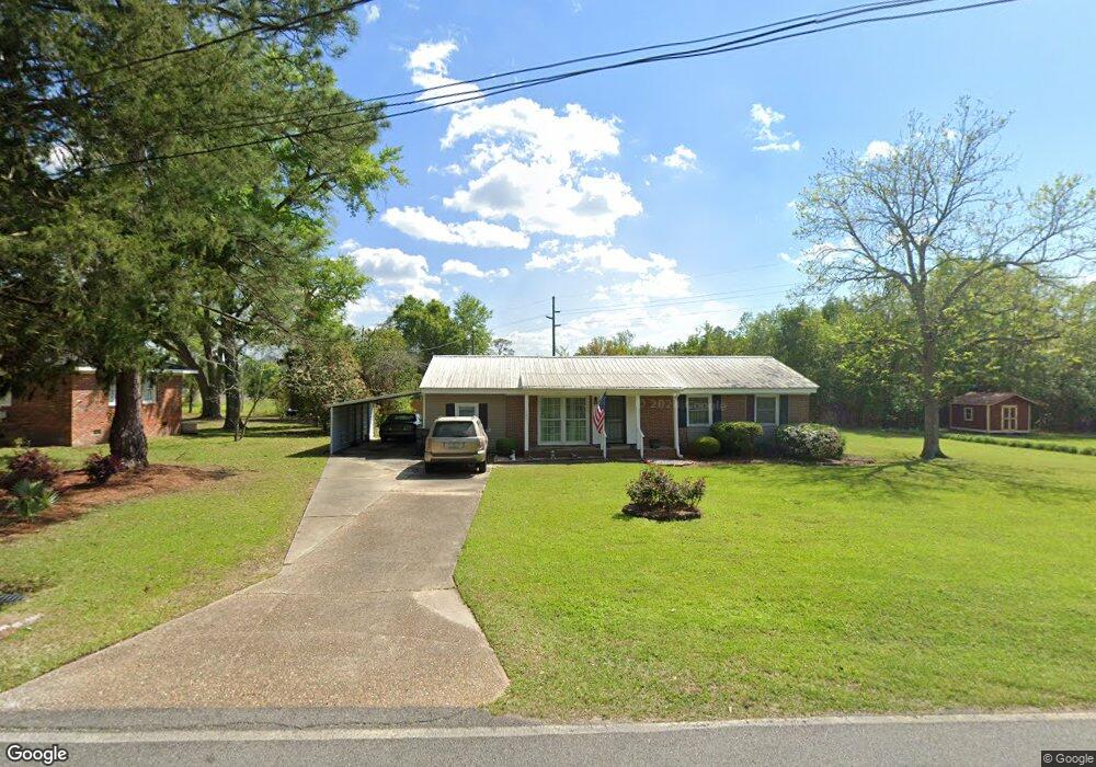
391 Green St E Pelham, GA 31779
Estimated Value: $108,000 - $137,000
Studio
1
Bath
1,296
Sq Ft
$91/Sq Ft
Est. Value
About This Home
This home is located at 391 Green St E, Pelham, GA 31779 and is currently estimated at $117,377, approximately $90 per square foot. 391 Green St E is a home located in Mitchell County with nearby schools including Pelham Elementary School, Pelham City Middle School, and Pelham High School.
Ownership History
Date
Name
Owned For
Owner Type
Purchase Details
Closed on
Nov 15, 2024
Sold by
Schmidt Helen J
Bought by
Cornish Paul R
Current Estimated Value
Purchase Details
Closed on
Nov 22, 2006
Sold by
Newberry Charles F
Bought by
Schmidt Helen F
Purchase Details
Closed on
Oct 26, 2005
Sold by
Powell Miriam Flynt-Hand
Bought by
Newberry Charles F and Schmidt Helen J
Purchase Details
Closed on
Jan 10, 2005
Sold by
Davalos Natividad
Bought by
Davalos Fernando
Create a Home Valuation Report for This Property
The Home Valuation Report is an in-depth analysis detailing your home's value as well as a comparison with similar homes in the area
Home Values in the Area
Average Home Value in this Area
Purchase History
| Date | Buyer | Sale Price | Title Company |
|---|---|---|---|
| Cornish Paul R | -- | -- | |
| Schmidt Helen F | $25,000 | -- | |
| Newberry Charles F | $62,500 | -- | |
| Davalos Fernando | -- | -- |
Source: Public Records
Tax History
| Year | Tax Paid | Tax Assessment Tax Assessment Total Assessment is a certain percentage of the fair market value that is determined by local assessors to be the total taxable value of land and additions on the property. | Land | Improvement |
|---|---|---|---|---|
| 2024 | $1,408 | $35,897 | $2,400 | $33,497 |
| 2023 | $2,065 | $35,897 | $2,400 | $33,497 |
| 2022 | $1,237 | $27,897 | $2,400 | $25,497 |
| 2021 | $934 | $24,697 | $2,400 | $22,297 |
| 2020 | $887 | $24,697 | $2,400 | $22,297 |
| 2019 | $900 | $24,697 | $2,400 | $22,297 |
| 2018 | $1,117 | $24,697 | $2,400 | $22,297 |
| 2017 | $422 | $25,470 | $2,400 | $23,070 |
| 2016 | $436 | $25,470 | $2,400 | $23,070 |
| 2015 | $436 | $25,470 | $2,400 | $23,070 |
| 2014 | $436 | $25,470 | $2,400 | $23,070 |
| 2013 | $436 | $25,470 | $2,400 | $23,070 |
Source: Public Records
Map
Nearby Homes
- 438 Dogwood Dr NE
- 311 Tennyson St NE
- 375 Baggs Ave SE
- 482 Curry St NE
- 323 Curry St NE
- 199 Carroll St NE
- 293 Williams St NE
- 3** Youngs Mill Rd
- 158 Hand Ave W
- 212 Hand Ave W
- 210 Castleberry St NW
- 00 Georgia 93
- 209 McDonald St SW
- 233 Cannon St NW
- 354 Bennett St NW
- 277 Porter St SW
- 0 Old Ga Hwy 3
- 0 Grady St SW
- 267 Saunders St SW
- 277 Saunders St SW
- 401 Green St E
- 373 Green St E
- 411 Green St E
- 398 Green St E
- 380 Green St E
- 410 Green St E
- 421 Green St E
- 422 Green St E
- 425 Dogwood Dr NE
- 431 Green St E
- 415 Dogwood Dr NE
- 432 Green St E
- 441 Rosewood Dr NE
- 2179 Hwy 19
- 348 Forrest St SE
- 104 Wilder St SE
- 116 Wilder St SE
- 377 Dogwood Dr NE
- 465 Rosewood Dr NE
- 408 Dogwood Dr NE
Your Personal Tour Guide
Ask me questions while you tour the home.