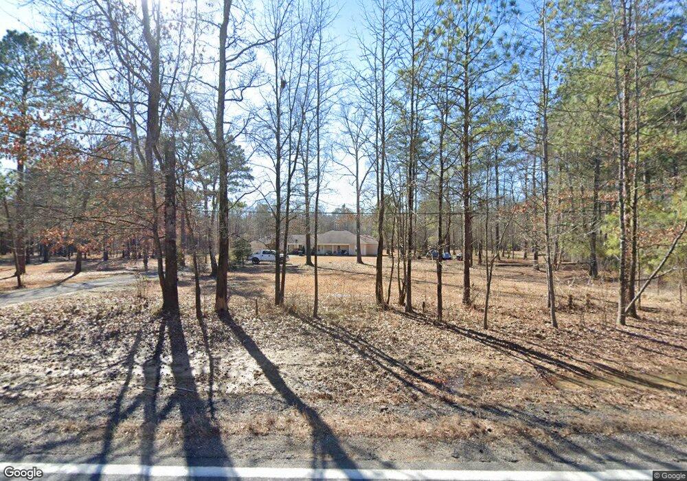
391 Highway 53 N Gurdon, AR 71743
Estimated Value: $173,000 - $242,007
--
Bed
--
Bath
1,992
Sq Ft
$106/Sq Ft
Est. Value
About This Home
This home is located at 391 Highway 53 N, Gurdon, AR 71743 and is currently estimated at $211,752, approximately $106 per square foot. 391 Highway 53 N is a home with nearby schools including Gurdon Primary School, Cabe Middle School, and Gurdon High School.
Ownership History
Date
Name
Owned For
Owner Type
Purchase Details
Closed on
Mar 12, 2024
Sold by
Hector And Velvet Gonzales Living Trust
Bought by
Urquidi Sergio and Urquidi Ana L
Current Estimated Value
Purchase Details
Closed on
Jan 21, 2021
Sold by
Altamirano Apolonia
Bought by
Garcia Norma Robles De
Purchase Details
Closed on
Jun 30, 2008
Bought by
Urquidi Sergio and Urquidi Ana L
Create a Home Valuation Report for This Property
The Home Valuation Report is an in-depth analysis detailing your home's value as well as a comparison with similar homes in the area
Home Values in the Area
Average Home Value in this Area
Purchase History
| Date | Buyer | Sale Price | Title Company |
|---|---|---|---|
| Urquidi Sergio | $7,000 | None Listed On Document | |
| Garcia Norma Robles De | $1,340 | First National Title Co | |
| Urquidi Sergio | $15,000 | -- | |
| Stone Donald L | -- | -- |
Source: Public Records
Tax History Compared to Growth
Tax History
| Year | Tax Paid | Tax Assessment Tax Assessment Total Assessment is a certain percentage of the fair market value that is determined by local assessors to be the total taxable value of land and additions on the property. | Land | Improvement |
|---|---|---|---|---|
| 2024 | $1,347 | $36,870 | $2,900 | $33,970 |
| 2023 | $1,422 | $36,870 | $2,900 | $33,970 |
| 2022 | $1,189 | $36,870 | $2,900 | $33,970 |
| 2021 | $1,121 | $36,870 | $2,900 | $33,970 |
| 2020 | $1,053 | $36,870 | $2,900 | $33,970 |
| 2019 | $985 | $31,560 | $2,900 | $28,660 |
| 2018 | $994 | $31,560 | $2,900 | $28,660 |
| 2017 | $994 | $31,560 | $2,900 | $28,660 |
| 2016 | $124 | $2,900 | $2,900 | $0 |
| 2015 | $124 | $2,900 | $2,900 | $0 |
| 2014 | $124 | $2,900 | $2,900 | $0 |
Source: Public Records
Map
Nearby Homes
- TBD Hwy 67 S
- 313 W Miller St
- 7104 Highway 67 S
- 109 N 7th St
- 326 Arkansas 53
- 0000 Arkansas 53
- 110 S 10th St
- 51 South St
- 103 Stonegate Ct
- 845 Stevenson Rd
- 1795 Bowen Hill Rd
- TBD Kansas Rd
- 196 Stevenson Rd
- 000 Kansas Rd
- 236 Lockie Rd
- 602 Stevenson Rd
- 505 Stevenson Rd
- 652 Center Point
- 718 Southfork Rd
- 4174 Central Rd
- 387 Highway 537
- 357 Highway 53 N
- 2 Sloan Rd
- 332 Highway 53 N
- 389 Highway 53 N
- 326 Highway 53 N
- 32 Sloan Rd
- 300 Highway 53 N
- 540 Highway 53 N
- 43 Clarence Rd
- 0 Clarence Rd
- 49 Clarence Rd
- 570 Highway 53 N
- 204 Highway 53 N
- 197 Sloan Rd
- 181 Highway 53 N
- 143 Highway 53 N
- 129 Highway 53 N
- 0 Highway 67 S Unit 20033012
- TBD U S 67