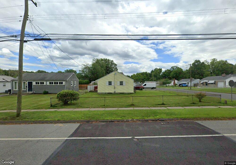
391 Jordan Ln Wethersfield, CT 06109
Estimated Value: $289,000 - $303,000
2
Beds
1
Bath
960
Sq Ft
$309/Sq Ft
Est. Value
About This Home
This home is located at 391 Jordan Ln, Wethersfield, CT 06109 and is currently estimated at $296,202, approximately $308 per square foot. 391 Jordan Ln is a home located in Hartford County with nearby schools including Emerson-Williams School, Silas Deane Middle School, and Wethersfield High School.
Ownership History
Date
Name
Owned For
Owner Type
Purchase Details
Closed on
May 30, 1991
Sold by
Garcia Ana and Garcia Jaime
Bought by
Battistine Daniel
Current Estimated Value
Home Financials for this Owner
Home Financials are based on the most recent Mortgage that was taken out on this home.
Original Mortgage
$70,000
Interest Rate
9.35%
Mortgage Type
Unknown
Create a Home Valuation Report for This Property
The Home Valuation Report is an in-depth analysis detailing your home's value as well as a comparison with similar homes in the area
Home Values in the Area
Average Home Value in this Area
Purchase History
| Date | Buyer | Sale Price | Title Company |
|---|---|---|---|
| Battistine Daniel | $124,900 | -- |
Source: Public Records
Mortgage History
| Date | Status | Borrower | Loan Amount |
|---|---|---|---|
| Open | Battistine Daniel | $66,600 | |
| Closed | Battistine Daniel | $67,900 | |
| Closed | Battistine Daniel | $70,000 |
Source: Public Records
Tax History Compared to Growth
Tax History
| Year | Tax Paid | Tax Assessment Tax Assessment Total Assessment is a certain percentage of the fair market value that is determined by local assessors to be the total taxable value of land and additions on the property. | Land | Improvement |
|---|---|---|---|---|
| 2025 | $6,316 | $153,220 | $63,170 | $90,050 |
| 2024 | $3,417 | $79,060 | $29,800 | $49,260 |
| 2023 | $3,303 | $79,060 | $29,800 | $49,260 |
| 2022 | $3,248 | $79,060 | $29,800 | $49,260 |
| 2021 | $3,215 | $79,060 | $29,800 | $49,260 |
| 2020 | $3,217 | $79,060 | $29,800 | $49,260 |
| 2019 | $3,221 | $79,060 | $29,800 | $49,260 |
| 2018 | $3,348 | $82,100 | $27,100 | $55,000 |
| 2017 | $3,265 | $82,100 | $27,100 | $55,000 |
| 2016 | $3,164 | $82,100 | $27,100 | $55,000 |
| 2015 | $3,135 | $82,100 | $27,100 | $55,000 |
| 2014 | $3,016 | $82,100 | $27,100 | $55,000 |
Source: Public Records
Map
Nearby Homes
- 19 Albert Ave
- 24 Williams St
- 80 Spruce St
- 92 Reed Dr
- 70 Stillman Rd
- 53 Wolcott Hill Rd Unit C23
- 24 Stillman Rd
- 126 Tredeau St
- 49 Ridge Rd Unit 49
- 67 Oakdale St
- 193 Wolcott Hill Rd Unit 195
- 11 Yale St
- 358 Ridge Rd
- 55 Rutledge Rd
- 90 Salem St
- 326 South St Unit 328
- 136 Amherst St
- 71 Hanmer St
- 7 Harmund Ct
- 69 Concord Cir
- 387 Jordan Ln
- 154 Brookside Cir
- 381 Jordan Ln
- 401 Jordan Ln
- 11 Brookside Cir
- 149 Brookside Cir
- 148 Brookside Cir
- 17 Brookside Cir
- 147 Brookside Cir
- 142 Brookside Cir
- 371 Jordan Ln
- 21 Brookside Cir
- 141 Brookside Cir
- 16 Brookside Cir
- 132 Brookside Cir
- 27 Brookside Cir
- 133 Brookside Cir
- 22 Brookside Cir
- 128 Brookside Cir
- 33 Brookside Cir