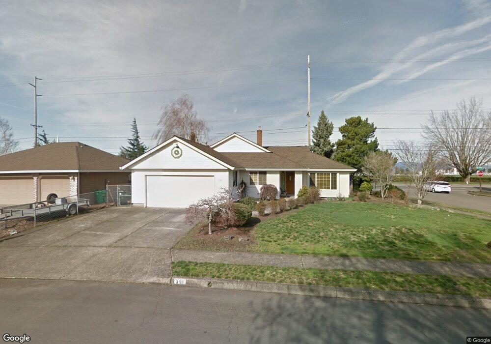
391 NE 30th Dr Gresham, OR 97030
North Central NeighborhoodEstimated Value: $445,943 - $561,000
3
Beds
2
Baths
1,571
Sq Ft
$311/Sq Ft
Est. Value
About This Home
This home is located at 391 NE 30th Dr, Gresham, OR 97030 and is currently estimated at $488,486, approximately $310 per square foot. 391 NE 30th Dr is a home located in Multnomah County with nearby schools including Highland Elementary School, Clear Creek Middle School, and Gresham High School.
Ownership History
Date
Name
Owned For
Owner Type
Purchase Details
Closed on
Apr 4, 2019
Sold by
Heffner David Eugene and Heffner Julie Rose
Bought by
Heffner David E and Heffner Julie R
Current Estimated Value
Purchase Details
Closed on
Feb 27, 2002
Sold by
Wellman Julie
Bought by
Heffner David Eugene and Heffner Julie Rose
Home Financials for this Owner
Home Financials are based on the most recent Mortgage that was taken out on this home.
Original Mortgage
$100,000
Interest Rate
6.8%
Mortgage Type
Purchase Money Mortgage
Create a Home Valuation Report for This Property
The Home Valuation Report is an in-depth analysis detailing your home's value as well as a comparison with similar homes in the area
Home Values in the Area
Average Home Value in this Area
Purchase History
| Date | Buyer | Sale Price | Title Company |
|---|---|---|---|
| Heffner David E | -- | None Available | |
| Heffner David Eugene | -- | Fidelity National Title Co |
Source: Public Records
Mortgage History
| Date | Status | Borrower | Loan Amount |
|---|---|---|---|
| Closed | Heffner David Eugene | $100,000 |
Source: Public Records
Tax History
| Year | Tax Paid | Tax Assessment Tax Assessment Total Assessment is a certain percentage of the fair market value that is determined by local assessors to be the total taxable value of land and additions on the property. | Land | Improvement |
|---|---|---|---|---|
| 2025 | $5,406 | $265,660 | -- | -- |
| 2024 | $5,175 | $257,930 | -- | -- |
| 2023 | $4,715 | $250,420 | $0 | $0 |
| 2022 | $4,583 | $243,130 | $0 | $0 |
| 2021 | $4,468 | $236,050 | $0 | $0 |
| 2020 | $4,204 | $229,180 | $0 | $0 |
| 2019 | $4,220 | $222,510 | $0 | $0 |
| 2018 | $3,903 | $216,030 | $0 | $0 |
| 2017 | $3,745 | $209,740 | $0 | $0 |
| 2016 | $3,302 | $203,640 | $0 | $0 |
Source: Public Records
Map
Nearby Homes
- 2775 NE Linden Ave
- 2730 NE Roberts Ave
- 535 NE 24th St
- 1035 SE 225th Ave
- 450 NE 22nd St
- 210 SE 218th Ave
- 1556 NE 27th Terrace
- 349 NE 18th St
- 1783 1791 NE Beech Place
- 21532 SE Alder St
- 21525 SE Oak St
- 21553 SE Ankeny Terrace
- 3311 NE View Ave Unit 3313
- 872 NE Pacific Dr
- 760 NE Pacific Dr
- 132 SE 214th Ave
- 21400 SE Stark St Unit 2
- 209 SE 214th Ave
- 2921 NE Rene Ave Unit 15B
- 2797 NE Rene Ave Unit 25C
- 351 NE 30th Dr
- 401 NE 30th Dr
- 380 NE 30th Dr
- 2980 NE Beech Dr
- 301 NE 30th Dr
- 400 NE 30th Dr
- 491 NE 30th Dr
- 2981 NE Beech Dr
- 2960 NE Beech Dr
- 480 NE 30th Dr Unit 1
- 480 NE 30th Dr
- 2951 NE Beech Dr
- 401 NE 29th Ct
- 451 NE 29th Ct
- 521 NE 30th Dr
- 520 NE 30th Dr
- 2931 NE Beech Dr
- 2940 NE Beech Dr
- 481 NE 29th Ct
- 22766 SE Stark St
Your Personal Tour Guide
Ask me questions while you tour the home.