391 S Scofield Mtn Rd Winchester, NH 03470
Estimated Value: $381,000 - $439,000
2
Beds
2
Baths
2,021
Sq Ft
$203/Sq Ft
Est. Value
About This Home
This home is located at 391 S Scofield Mtn Rd, Winchester, NH 03470 and is currently estimated at $411,179, approximately $203 per square foot. 391 S Scofield Mtn Rd is a home with nearby schools including Winchester School, Mayland Early College High School, and Keene High School.
Ownership History
Date
Name
Owned For
Owner Type
Purchase Details
Closed on
Jan 25, 2021
Sold by
Lori J Plifka 2007 Ret
Bought by
Mark T & Laurie D Tigan Ret
Current Estimated Value
Purchase Details
Closed on
Jul 9, 2019
Sold by
Plifka Stanley S
Bought by
Mark T & L D Tigan Ret
Create a Home Valuation Report for This Property
The Home Valuation Report is an in-depth analysis detailing your home's value as well as a comparison with similar homes in the area
Home Values in the Area
Average Home Value in this Area
Purchase History
| Date | Buyer | Sale Price | Title Company |
|---|---|---|---|
| Mark T & Laurie D Tigan Ret | $25,600 | None Available | |
| Mark T & L D Tigan Ret | $17,533 | -- |
Source: Public Records
Tax History Compared to Growth
Tax History
| Year | Tax Paid | Tax Assessment Tax Assessment Total Assessment is a certain percentage of the fair market value that is determined by local assessors to be the total taxable value of land and additions on the property. | Land | Improvement |
|---|---|---|---|---|
| 2024 | $7,013 | $239,762 | $48,962 | $190,800 |
| 2023 | $7,597 | $239,793 | $48,993 | $190,800 |
| 2022 | $6,884 | $239,850 | $49,050 | $190,800 |
| 2021 | $7,626 | $239,881 | $49,081 | $190,800 |
| 2020 | $6,746 | $234,484 | $49,084 | $185,400 |
| 2019 | $7,409 | $207,878 | $39,278 | $168,600 |
| 2018 | $7,219 | $207,860 | $39,260 | $168,600 |
| 2016 | $6,180 | $202,417 | $40,317 | $162,100 |
| 2015 | $6,124 | $200,260 | $40,260 | $160,000 |
| 2014 | $6,259 | $204,687 | $36,187 | $168,500 |
| 2013 | $6,225 | $202,574 | $36,174 | $166,400 |
Source: Public Records
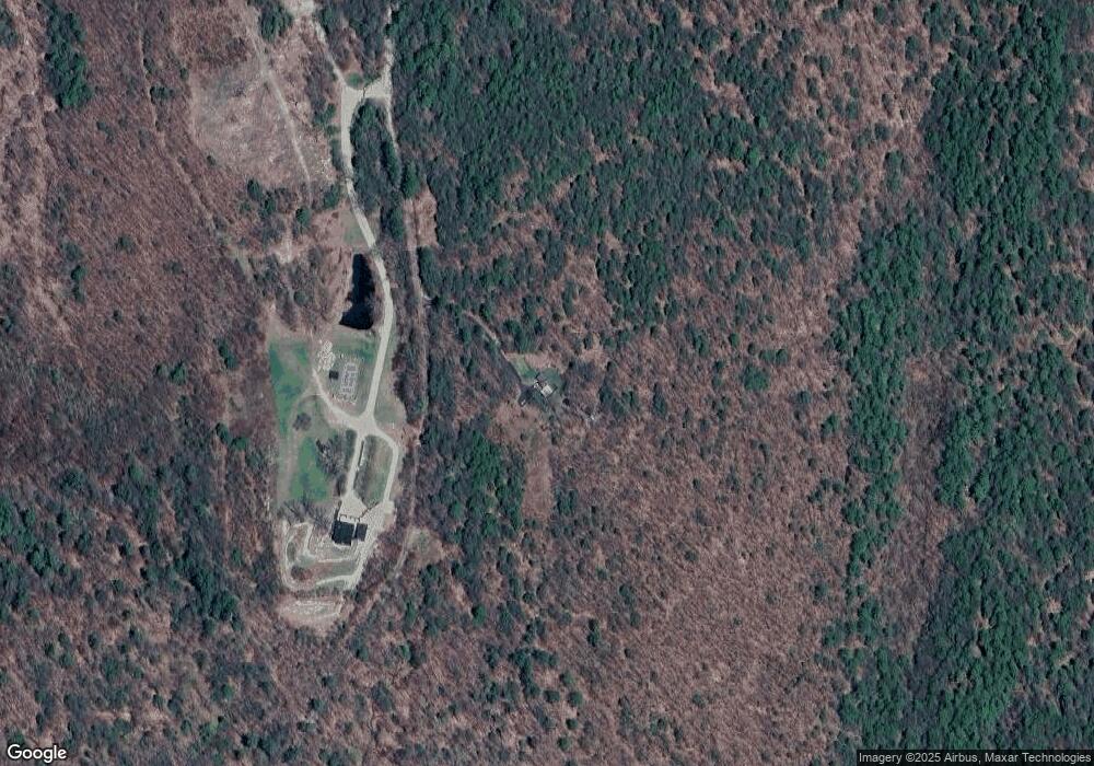
Map
Nearby Homes
- 259 Bolton Rd
- 406 Back Ashuelot Rd
- 0 Ashuelot Main St Unit 4978464
- 339 Burt Hill Rd
- 49 Whitetail Dr
- 153 Back Ashuelot Rd
- 11 Cream Pot Hill Rd
- 12 Todd Hill Rd
- 32 Main St
- 19 Back Ashuelot Rd
- 12 Wetherby Dr
- 85 Breezy Acres Dr
- 719 Mount Hermon Station Rd
- 75 Hinsdale Heights
- 56 Ashuelot St
- 12 Miner Ct
- 142 Brattleboro Rd
- 100 Main St
- 95 Plain Rd
- 82 Howard St
- 310 S Scofield Mountain Rd
- 240 S Scofield Mtn Rd
- 122 S Scofield Mtn Rd
- 70 S Scofield Mtn Rd
- 70 S Scofield Mtn Rd
- 70 S Scofield Mtn Rd
- 220 Old Hinsdale Rd
- - Scofield Mountain Rd
- 260 Old Hinsdale Rd
- 484 Scofield Mountain Rd
- 280 S Scofield Mtn Rd
- 196 Old Hinsdale Rd
- 230 Old Hinsdale Rd
- 340 Bolton Rd
- 204 Old Hinsdale Rd
- 255 Old Hinsdale Rd
- 231 Old Hinsdale Rd
- 320 Bolton Rd
- 180 Old Hinsdale Rd
- 260 S Scofield Mtn Rd