391 W Bay Front Rd Lothian, MD 20711
Estimated Value: $962,000 - $5,050,086
--
Bed
2
Baths
2,112
Sq Ft
$1,212/Sq Ft
Est. Value
About This Home
This home is located at 391 W Bay Front Rd, Lothian, MD 20711 and is currently estimated at $2,560,695, approximately $1,212 per square foot. 391 W Bay Front Rd is a home located in Anne Arundel County with nearby schools including Tracey's Elementary School, Southern Middle School, and Southern High School.
Ownership History
Date
Name
Owned For
Owner Type
Purchase Details
Closed on
Jul 31, 2000
Sold by
Waldrep John M
Bought by
Greenstreet Growers Inc
Current Estimated Value
Create a Home Valuation Report for This Property
The Home Valuation Report is an in-depth analysis detailing your home's value as well as a comparison with similar homes in the area
Home Values in the Area
Average Home Value in this Area
Purchase History
| Date | Buyer | Sale Price | Title Company |
|---|---|---|---|
| Greenstreet Growers Inc | $600,000 | -- |
Source: Public Records
Mortgage History
| Date | Status | Borrower | Loan Amount |
|---|---|---|---|
| Closed | Greenstreet Growers Inc | -- |
Source: Public Records
Tax History Compared to Growth
Tax History
| Year | Tax Paid | Tax Assessment Tax Assessment Total Assessment is a certain percentage of the fair market value that is determined by local assessors to be the total taxable value of land and additions on the property. | Land | Improvement |
|---|---|---|---|---|
| 2025 | $35,385 | $2,752,567 | -- | -- |
| 2024 | $35,385 | $2,580,833 | $0 | $0 |
| 2023 | $32,944 | $2,409,100 | $547,500 | $1,861,600 |
| 2022 | $30,726 | $2,347,633 | $0 | $0 |
| 2021 | $29,923 | $2,286,167 | $0 | $0 |
| 2020 | $29,148 | $2,224,700 | $522,500 | $1,702,200 |
| 2019 | $29,085 | $2,217,733 | $0 | $0 |
| 2018 | $22,417 | $2,210,767 | $0 | $0 |
| 2017 | $28,131 | $2,203,800 | $0 | $0 |
| 2016 | -- | $2,203,800 | $0 | $0 |
| 2015 | -- | $1,846,300 | $0 | $0 |
| 2014 | -- | $1,847,200 | $0 | $0 |
Source: Public Records
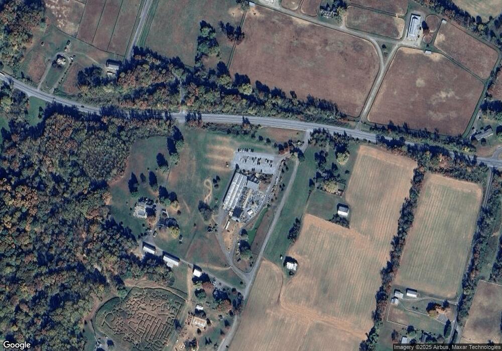
Map
Nearby Homes
- 411 W Mckendree Rd
- 75 W Bay Front Rd
- 6340 Mckendree Rd
- 6007 Solomons Island Rd
- 6095 Solomons Island Rd
- 5485 Solomons Island Rd
- 461 Jewell Rd
- 49 Old Solomons Island Rd
- 0 Fairhaven Rd
- 6281 Franklin Gibson Rd
- 2950 Chaney Rd
- 5292 Moreland Rd
- 99 Hummingbird Ct
- 600 Traveller Ct
- 674 Teton Dr
- 215 Jaguar Dr
- 1071 Lower Pindell Rd
- 612 Traveller Ct
- 623 Traveller Ct
- 2850 Dunleigh Dr
- 381 W Bay Front Rd
- 320 W Bay Front Rd
- 324 W Bay Front Rd
- 324 W Bay Front Rd
- 290 W Bay Front Rd
- 336 W Bay Front Rd
- 282 W Bay Front Rd
- 289 W Bay Front Rd
- 262 W Bay Front Rd
- 274 W Bay Front Rd
- 372 W Bay Front Rd
- 260 W Bay Front Rd
- 5905 Crandell Rd
- 297 W Bay Front Rd
- 283 W Bay Front Rd
- 275 W Bay Front Rd
- 285 W Bay Front Rd
- 250 W Bay Front Rd
- 5903 Crandell Rd
- 6034 Mckendree Rd