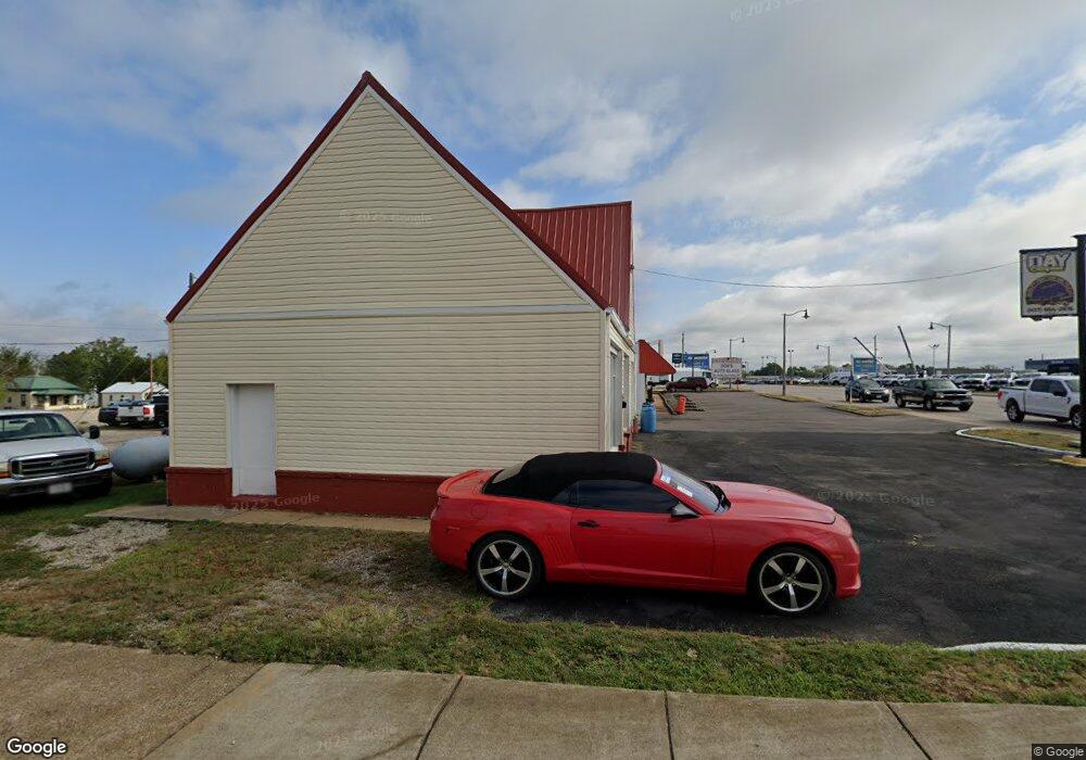
391 W Elm St Lebanon, MO 65536
Estimated Value: $252,430
--
Bed
--
Bath
1,125
Sq Ft
$224/Sq Ft
Est. Value
About This Home
This home is located at 391 W Elm St, Lebanon, MO 65536 and is currently priced at $252,430, approximately $224 per square foot. 391 W Elm St is a home located in Laclede County with nearby schools including Joe D. Esther Elementary School, Maplecrest Elementary School, and Boswell Elementary School.
Ownership History
Date
Name
Owned For
Owner Type
Purchase Details
Closed on
Aug 20, 2024
Sold by
J Quintin Day And Vicki S Day Revocable and Quintin Day J
Bought by
Starr Properties Llc
Current Estimated Value
Home Financials for this Owner
Home Financials are based on the most recent Mortgage that was taken out on this home.
Original Mortgage
$170,000
Outstanding Balance
$168,106
Interest Rate
6.95%
Mortgage Type
New Conventional
Create a Home Valuation Report for This Property
The Home Valuation Report is an in-depth analysis detailing your home's value as well as a comparison with similar homes in the area
Home Values in the Area
Average Home Value in this Area
Purchase History
| Date | Buyer | Sale Price | Title Company |
|---|---|---|---|
| Starr Properties Llc | -- | Hogan Land Title |
Source: Public Records
Mortgage History
| Date | Status | Borrower | Loan Amount |
|---|---|---|---|
| Open | Starr Properties Llc | $170,000 |
Source: Public Records
Tax History Compared to Growth
Tax History
| Year | Tax Paid | Tax Assessment Tax Assessment Total Assessment is a certain percentage of the fair market value that is determined by local assessors to be the total taxable value of land and additions on the property. | Land | Improvement |
|---|---|---|---|---|
| 2025 | $1,099 | $17,250 | $0 | $0 |
| 2024 | $1,099 | $16,320 | $0 | $0 |
| 2023 | $1,127 | $16,320 | $0 | $0 |
| 2022 | $1,061 | $16,320 | $0 | $0 |
| 2021 | $1,152 | $16,320 | $8,192 | $8,128 |
| 2020 | $1,025 | $45,200 | $23,200 | $22,000 |
| 2019 | $988 | $14,460 | $7,420 | $7,040 |
| 2018 | $937 | $14,460 | $7,420 | $7,040 |
| 2017 | $1,074 | $14,460 | $0 | $0 |
| 2016 | $1,074 | $14,460 | $0 | $0 |
| 2015 | $1,074 | $14,460 | $0 | $0 |
| 2014 | $1,074 | $17,340 | $0 | $0 |
| 2013 | -- | $17,340 | $0 | $0 |
Source: Public Records
Map
Nearby Homes
- 22781 U S Route 66
- 000 #25 U S Route 66
- 000-#72 U S Route 66
- 000#72 U S Route 66
- 000#25 U S Route 66
- 100 State Highway 32
- 14300 State Highway 32
- 406 Perry St
- 31 Greenwood Dr
- 22 Stanwood Dr
- 545 W Pierce St
- 757 S Adams Ave
- 517 Holly St
- 853 W Park Manor Blvd
- 704 W 2nd St
- 233 N Park Manor Blvd
- 286 Polk Ave
- Lot 20 Missouri 64
- 1719 State Hwy 64
- 015 Missouri 64
- 23925 State Highway 32
- 25245 Missouri 32
- 341 W Elm St
- 488 S Jackson Ave
- 333 W Elm St
- 328 Beckett St
- 313 W Elm St
- 351 Beckett St
- 545 S Monroe St
- 695 S Monroe St
- 345 Beckett St
- 331 Beckett St
- 402 Beckett St
- 435 Norwood Dr
- 529 S Monroe St
- 703 S Jackson Ave
- 445 Norwood Dr
- 469 W Elm St
- 511 S Monroe St
- 26 Greenwood Dr