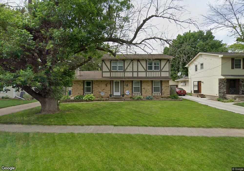
3910 77th St Urbandale, IA 50322
Estimated Value: $316,000 - $328,000
4
Beds
3
Baths
1,836
Sq Ft
$176/Sq Ft
Est. Value
About This Home
This home is located at 3910 77th St, Urbandale, IA 50322 and is currently estimated at $322,980, approximately $175 per square foot. 3910 77th St is a home located in Polk County with nearby schools including Olmsted Elementary School, Urbandale Middle School, and Urbandale High School.
Ownership History
Date
Name
Owned For
Owner Type
Purchase Details
Closed on
May 13, 2008
Sold by
Gunst Brian D and Gunst Kori N
Bought by
Stice Gregory D and Stice Rosemary M
Current Estimated Value
Home Financials for this Owner
Home Financials are based on the most recent Mortgage that was taken out on this home.
Original Mortgage
$138,000
Outstanding Balance
$87,235
Interest Rate
5.93%
Mortgage Type
Purchase Money Mortgage
Estimated Equity
$235,745
Purchase Details
Closed on
Jan 20, 2005
Sold by
Schreck Gayle and Smith Clayton R
Bought by
Gunst Brian D and Gunst Kori N
Home Financials for this Owner
Home Financials are based on the most recent Mortgage that was taken out on this home.
Original Mortgage
$32,600
Interest Rate
5.79%
Mortgage Type
Credit Line Revolving
Create a Home Valuation Report for This Property
The Home Valuation Report is an in-depth analysis detailing your home's value as well as a comparison with similar homes in the area
Home Values in the Area
Average Home Value in this Area
Purchase History
| Date | Buyer | Sale Price | Title Company |
|---|---|---|---|
| Stice Gregory D | $183,500 | Itc | |
| Gunst Brian D | $163,000 | None Available |
Source: Public Records
Mortgage History
| Date | Status | Borrower | Loan Amount |
|---|---|---|---|
| Open | Stice Gregory D | $138,000 | |
| Previous Owner | Gunst Brian D | $32,600 | |
| Previous Owner | Gunst Brian D | $130,400 |
Source: Public Records
Tax History Compared to Growth
Tax History
| Year | Tax Paid | Tax Assessment Tax Assessment Total Assessment is a certain percentage of the fair market value that is determined by local assessors to be the total taxable value of land and additions on the property. | Land | Improvement |
|---|---|---|---|---|
| 2025 | $4,784 | $308,600 | $76,800 | $231,800 |
| 2024 | $4,784 | $274,600 | $67,300 | $207,300 |
| 2023 | $4,856 | $274,600 | $67,300 | $207,300 |
| 2022 | $4,798 | $235,200 | $59,300 | $175,900 |
| 2021 | $4,574 | $235,200 | $59,300 | $175,900 |
| 2020 | $4,492 | $213,300 | $53,800 | $159,500 |
| 2019 | $4,174 | $213,300 | $53,800 | $159,500 |
| 2018 | $4,018 | $190,000 | $46,900 | $143,100 |
| 2017 | $3,844 | $190,000 | $46,900 | $143,100 |
| 2016 | $3,744 | $179,000 | $43,700 | $135,300 |
| 2015 | $3,744 | $179,000 | $43,700 | $135,300 |
| 2014 | $3,738 | $177,200 | $42,500 | $134,700 |
Source: Public Records
Map
Nearby Homes
- 3904 76th St
- 7815 Douglas Ave Unit 304
- 7815 Douglas Ave Unit 107
- 3924 80th St
- 7613 Prairie Ave
- 4021 80th St
- 7307 Douglas Ave
- 4100 73rd St
- 7204 Douglas Ave
- 8004 Wilden Dr
- 4209 74th St
- 4121 73rd St
- 3400 78th St
- 4117 83rd St
- 3900 Rolling Green Dr
- 7105 Madison Ave
- 8006 Dellwood Dr
- 3221 Ashwood Dr
- 7314 Roseland Dr
- 7609 Roseland Dr