3911 Mt Baker Hwy Everson, WA 98247
Estimated Value: $594,000
2
Beds
1
Bath
774
Sq Ft
$767/Sq Ft
Est. Value
About This Home
This home is located at 3911 Mt Baker Hwy, Everson, WA 98247 and is currently estimated at $594,000, approximately $767 per square foot. 3911 Mt Baker Hwy is a home located in Whatcom County with nearby schools including Mount Baker Senior High School.
Ownership History
Date
Name
Owned For
Owner Type
Purchase Details
Closed on
Jun 2, 2025
Sold by
3911 Mt Baker Llc
Bought by
Walsh Charles
Current Estimated Value
Home Financials for this Owner
Home Financials are based on the most recent Mortgage that was taken out on this home.
Original Mortgage
$185,000
Outstanding Balance
$184,212
Interest Rate
6.86%
Mortgage Type
New Conventional
Estimated Equity
$409,788
Purchase Details
Closed on
Feb 24, 2025
Sold by
Sono Inc
Bought by
3911 Mt Baker Llc
Create a Home Valuation Report for This Property
The Home Valuation Report is an in-depth analysis detailing your home's value as well as a comparison with similar homes in the area
Purchase History
| Date | Buyer | Sale Price | Title Company |
|---|---|---|---|
| Walsh Charles | $313 | Wfg Lender Services | |
| 3911 Mt Baker Llc | $313 | None Listed On Document |
Source: Public Records
Mortgage History
| Date | Status | Borrower | Loan Amount |
|---|---|---|---|
| Open | Walsh Charles | $185,000 |
Source: Public Records
Tax History
| Year | Tax Paid | Tax Assessment Tax Assessment Total Assessment is a certain percentage of the fair market value that is determined by local assessors to be the total taxable value of land and additions on the property. | Land | Improvement |
|---|---|---|---|---|
| 2025 | $4,034 | $548,883 | $336,661 | $212,222 |
| 2024 | $1,949 | $617,875 | $410,829 | $207,046 |
| 2023 | $1,949 | $442,893 | $261,931 | $180,962 |
| 2022 | $1,677 | $363,019 | $214,693 | $148,326 |
| 2021 | $1,533 | $292,755 | $173,138 | $119,617 |
| 2020 | $1,427 | $136,733 | $35,363 | $101,370 |
| 2019 | $1,282 | $218,590 | $129,276 | $89,314 |
| 2018 | $1,473 | $116,151 | $30,040 | $86,111 |
| 2017 | $1,341 | $104,026 | $31,726 | $72,300 |
| 2016 | $1,296 | $100,414 | $30,624 | $69,790 |
| 2015 | $1,202 | $95,899 | $29,247 | $66,652 |
| 2014 | -- | $98,437 | $35,676 | $62,761 |
| 2013 | -- | $97,798 | $35,037 | $62,761 |
Source: Public Records
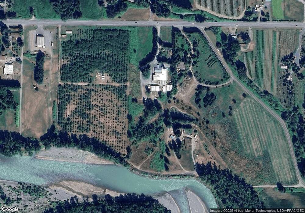
Map
Nearby Homes
- 5947 Lawrence Rd
- 7019 Mount Baker Hwy
- 0 Mt Baker Hwy Unit NWM2371192
- 0 Mt Baker Hwy Unit NWM2230071
- 3025 E Smith Rd
- 5544 Sand Rd
- 5196 Sand Rd
- 3395 Mack Rd
- 2200 E Smith Rd
- 3090 Cole Rd
- 5818 Everson Goshen Rd
- 2495 River Rock Dr
- 7406 Oat Coles Rd
- 2571 E Smith Rd
- 3037 Massey Rd
- 5566 Williams Lake Rd
- 0 Massey Rd Unit NWM2402070
- 5860 Bell Creek Logging Rd
- 2610 E 39th Terrace
- 7554 Nooksack Rd
- 3923 Mt Baker Hwy
- 0 Putnam Rd Unit NWM2240506
- 0 Putnam Rd Unit NWM1970440
- 0 Putnam Rd
- 5622 Putnam Rd
- 3957 Mt Baker Hwy
- 5625 Putnam Rd
- 3999 Deming Rd
- 3966 Mt Baker Hwy
- 5651 Putnam Rd
- 3833 Mt Baker Hwy
- 38 Mt Baker Hwy
- 3966 Mount Baker Hwy
- 4004 Mt Baker Hwy
- 5683 Putnam Rd
- 3813 Mt Baker Hwy
- 3804 Mt Baker Hwy
- 4046 Deming Rd
- 3791 Mt Baker Hwy
- 4035 Mount Baker Hwy
Your Personal Tour Guide
Ask me questions while you tour the home.