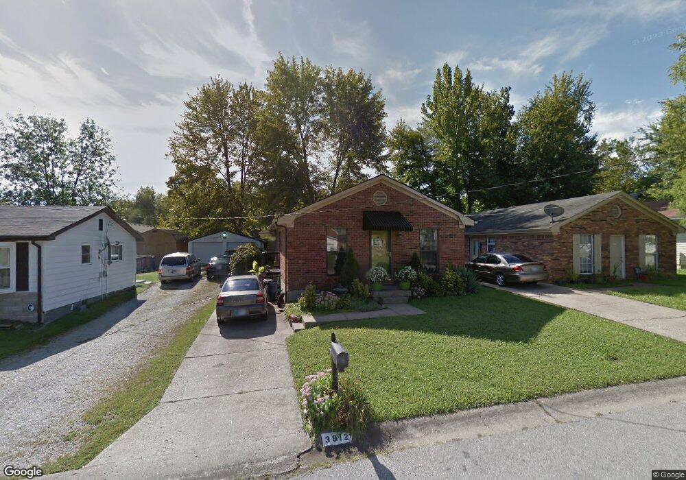
3912 Dunbar Ave New Albany, IN 47150
Estimated Value: $202,000 - $222,000
3
Beds
2
Baths
1,075
Sq Ft
$199/Sq Ft
Est. Value
About This Home
This home is located at 3912 Dunbar Ave, New Albany, IN 47150 and is currently estimated at $213,913, approximately $198 per square foot. 3912 Dunbar Ave is a home located in Floyd County with nearby schools including Grant Line School, Nathaniel Scribner Middle School, and New Albany Senior High School.
Ownership History
Date
Name
Owned For
Owner Type
Purchase Details
Closed on
Sep 17, 2008
Sold by
Lynn Bob
Bought by
Lynn Robert F and Lynn Linda S
Current Estimated Value
Home Financials for this Owner
Home Financials are based on the most recent Mortgage that was taken out on this home.
Original Mortgage
$63,920
Interest Rate
6.55%
Mortgage Type
FHA
Purchase Details
Closed on
Nov 21, 2006
Sold by
Ballew Jesse and Ballew Virginia
Bought by
Thomas David C and Thomas Bernetta
Home Financials for this Owner
Home Financials are based on the most recent Mortgage that was taken out on this home.
Original Mortgage
$21,820
Interest Rate
6.4%
Mortgage Type
FHA
Create a Home Valuation Report for This Property
The Home Valuation Report is an in-depth analysis detailing your home's value as well as a comparison with similar homes in the area
Home Values in the Area
Average Home Value in this Area
Purchase History
| Date | Buyer | Sale Price | Title Company |
|---|---|---|---|
| Lynn Robert F | -- | None Available | |
| Thomas David C | -- | None Available |
Source: Public Records
Mortgage History
| Date | Status | Borrower | Loan Amount |
|---|---|---|---|
| Closed | Lynn Robert F | $63,920 | |
| Closed | Thomas David C | $21,820 |
Source: Public Records
Tax History Compared to Growth
Tax History
| Year | Tax Paid | Tax Assessment Tax Assessment Total Assessment is a certain percentage of the fair market value that is determined by local assessors to be the total taxable value of land and additions on the property. | Land | Improvement |
|---|---|---|---|---|
| 2024 | $987 | $167,900 | $18,200 | $149,700 |
| 2023 | $693 | $139,700 | $18,200 | $121,500 |
| 2022 | $608 | $130,000 | $18,200 | $111,800 |
| 2021 | $423 | $111,400 | $18,200 | $93,200 |
| 2020 | $384 | $104,600 | $18,200 | $86,400 |
| 2019 | $436 | $111,500 | $18,200 | $93,300 |
| 2018 | $302 | $100,500 | $18,200 | $82,300 |
| 2017 | $188 | $84,200 | $18,200 | $66,000 |
| 2016 | $211 | $83,500 | $18,200 | $65,300 |
| 2014 | $97 | $73,900 | $18,200 | $55,700 |
| 2013 | -- | $79,500 | $18,200 | $61,300 |
Source: Public Records
Map
Nearby Homes
- BERKSHIRE Plan at Jefferson Gardens
- AUBURN Plan at Jefferson Gardens
- 3810 Wayne St
- 3617 Doe Run Way
- 3829 Fiske Ave
- 3517 Kamer Miller Rd
- 3941 Carver St
- 3807 Homestead Dr
- 3920 Windsor Creek Dr
- 4834 Ashbury Dr
- 4105 Stone Place
- 3021 Grace Marie Way
- Elm Plan at Koehler Woods
- Downing Plan at Koehler Woods
- PINE Plan at Koehler Woods
- ADAIR Plan at Koehler Woods
- Manning Plan at Koehler Woods
- 3027 Grace Marie Way
- 3016 Grace Marie Way
- 3012 Grace Marie Way
- 3910 Dunbar Ave
- 3914 Dunbar Ave
- 3908 Dunbar Ave
- 3916 Dunbar Ave
- 3906 Dunbar Ave
- 3913 Horne Ave
- 3911 Horne Ave
- 3915 Horne Ave
- 3909 Horne Ave
- 3919 Horne Ave
- 3917 Horne Ave
- 3904 Dunbar Ave
- 3907 Dunbar Ave
- 3905 Dunbar Ave
- 3907 Horne Ave
- 3911 Dunbar Ave
- 3903 Dunbar Ave
- 3902 Dunbar Ave
- 3915 Dunbar Ave
- 3901 Dunbar Ave