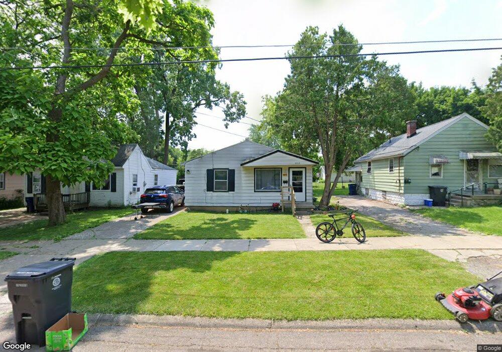
3913 W Kearsley St Flint, MI 48532
West Court Gardens NeighborhoodEstimated Value: $43,471 - $47,000
2
Beds
1
Bath
806
Sq Ft
$56/Sq Ft
Est. Value
About This Home
This home is located at 3913 W Kearsley St, Flint, MI 48532 and is currently estimated at $44,868, approximately $55 per square foot. 3913 W Kearsley St is a home located in Genesee County with nearby schools including Durant-Tuuri-Mott Elementary School, St. Paul Lutheran School, and First Flint Seventh-day Adventist Christian School.
Ownership History
Date
Name
Owned For
Owner Type
Purchase Details
Closed on
Jan 16, 2018
Sold by
Tust Tanner Darrall H and Tust Darrall H Tanner
Bought by
Carrington Brenda
Current Estimated Value
Purchase Details
Closed on
Dec 2, 2011
Sold by
Tanner Darrall H and Darrall H Tanner Tr
Bought by
Monroe Donald E
Home Financials for this Owner
Home Financials are based on the most recent Mortgage that was taken out on this home.
Original Mortgage
$15,975
Interest Rate
7%
Mortgage Type
Seller Take Back
Create a Home Valuation Report for This Property
The Home Valuation Report is an in-depth analysis detailing your home's value as well as a comparison with similar homes in the area
Home Values in the Area
Average Home Value in this Area
Purchase History
| Date | Buyer | Sale Price | Title Company |
|---|---|---|---|
| Carrington Brenda | -- | None Available | |
| Monroe Donald E | $16,200 | None Available |
Source: Public Records
Mortgage History
| Date | Status | Borrower | Loan Amount |
|---|---|---|---|
| Previous Owner | Monroe Donald E | $15,975 |
Source: Public Records
Tax History Compared to Growth
Tax History
| Year | Tax Paid | Tax Assessment Tax Assessment Total Assessment is a certain percentage of the fair market value that is determined by local assessors to be the total taxable value of land and additions on the property. | Land | Improvement |
|---|---|---|---|---|
| 2025 | $714 | $15,200 | $0 | $0 |
| 2024 | $656 | $15,200 | $0 | $0 |
| 2023 | $650 | $13,300 | $0 | $0 |
| 2022 | $0 | $10,800 | $0 | $0 |
| 2021 | $669 | $9,300 | $0 | $0 |
| 2020 | $614 | $8,300 | $0 | $0 |
| 2019 | $604 | $7,500 | $0 | $0 |
| 2018 | $583 | $7,000 | $0 | $0 |
| 2017 | $611 | $0 | $0 | $0 |
| 2016 | $608 | $0 | $0 | $0 |
| 2015 | -- | $0 | $0 | $0 |
| 2014 | -- | $0 | $0 | $0 |
| 2012 | -- | $10,400 | $0 | $0 |
Source: Public Records
Map
Nearby Homes
- 863 Tacken St
- 3921 Joyner St
- 866 Tacken St
- 870 Tacken St
- 874 Tacken St
- 3821 W Court St
- 960 Salisbury Ave
- 959 Tacken St
- 3705 Gratiot Ave
- 3414 Van Buren Ave
- 916 Mann Ave
- 976 Barney Ave
- 960 Mann Ave
- 3517 Norwood Dr
- 3477 Ridgecliffe Dr
- 996 Barney Ave
- 1574 Houran St
- 3631 Ridgecliffe Dr
- 1600 Houran St
- 3617 Sherwood Dr
- 3909 W Kearsley St
- 3917 W Kearsley St
- 3921 W Kearsley St
- 3905 W Kearsley St
- 3910 Joyner St
- 3906 Joyner St
- 3918 Joyner St
- 3902 Joyner St
- 3925 W Kearsley St
- 3918 W Kearsley St
- 3828 Joyner St
- 859 Tacken St
- 837 Tacken St
- 3914 W Kearsley St
- 3827 W Kearsley St
- 3906 W Kearsley St
- 833 Tacken St
- 3902 W Kearsley St
- 3820 Joyner St
- 3826 W Kearsley St