39134 County Highway 34 Perham, MN 56573
Estimated Value: $239,809 - $661,000
--
Bed
--
Bath
1,220
Sq Ft
$387/Sq Ft
Est. Value
About This Home
This home is located at 39134 County Highway 34, Perham, MN 56573 and is currently estimated at $471,702, approximately $386 per square foot. 39134 County Highway 34 is a home located in Otter Tail County with nearby schools including Heart of the Lake Elementary School and Perham Senior High School.
Ownership History
Date
Name
Owned For
Owner Type
Purchase Details
Closed on
Oct 14, 2015
Sold by
Schulte Martin Martin
Bought by
Whidden Derek
Current Estimated Value
Home Financials for this Owner
Home Financials are based on the most recent Mortgage that was taken out on this home.
Original Mortgage
$46,500
Outstanding Balance
$36,536
Interest Rate
3.84%
Estimated Equity
$435,166
Purchase Details
Closed on
Oct 12, 2015
Sold by
Sabbin John John
Bought by
Shaffer Patricia and Schulte Martin
Home Financials for this Owner
Home Financials are based on the most recent Mortgage that was taken out on this home.
Original Mortgage
$46,500
Outstanding Balance
$36,536
Interest Rate
3.84%
Estimated Equity
$435,166
Purchase Details
Closed on
Nov 8, 2011
Sold by
Sabbin John John
Bought by
Schulte Martin
Home Financials for this Owner
Home Financials are based on the most recent Mortgage that was taken out on this home.
Original Mortgage
$33,000
Interest Rate
4.09%
Create a Home Valuation Report for This Property
The Home Valuation Report is an in-depth analysis detailing your home's value as well as a comparison with similar homes in the area
Home Values in the Area
Average Home Value in this Area
Purchase History
| Date | Buyer | Sale Price | Title Company |
|---|---|---|---|
| Whidden Derek | $20,000 | -- | |
| Shaffer Patricia | $46,500 | -- | |
| Schulte Martin | $45,000 | -- |
Source: Public Records
Mortgage History
| Date | Status | Borrower | Loan Amount |
|---|---|---|---|
| Open | Shaffer Patricia | $46,500 | |
| Previous Owner | Schulte Martin | $33,000 |
Source: Public Records
Tax History Compared to Growth
Tax History
| Year | Tax Paid | Tax Assessment Tax Assessment Total Assessment is a certain percentage of the fair market value that is determined by local assessors to be the total taxable value of land and additions on the property. | Land | Improvement |
|---|---|---|---|---|
| 2025 | $1,048 | $188,200 | $90,000 | $98,200 |
| 2024 | $1,050 | $178,500 | $83,800 | $94,700 |
| 2023 | $1,130 | $172,900 | $71,900 | $101,000 |
| 2022 | $1,044 | $113,000 | $0 | $0 |
| 2021 | $1,062 | $172,900 | $71,900 | $101,000 |
| 2020 | $1,070 | $131,300 | $52,100 | $79,200 |
| 2019 | $958 | $117,800 | $51,300 | $66,500 |
| 2018 | $912 | $117,800 | $51,300 | $66,500 |
| 2017 | $982 | $110,600 | $50,500 | $60,100 |
| 2016 | $1,008 | $114,100 | $50,500 | $63,600 |
| 2015 | $1,258 | $0 | $0 | $0 |
| 2014 | -- | $146,200 | $76,700 | $69,500 |
Source: Public Records
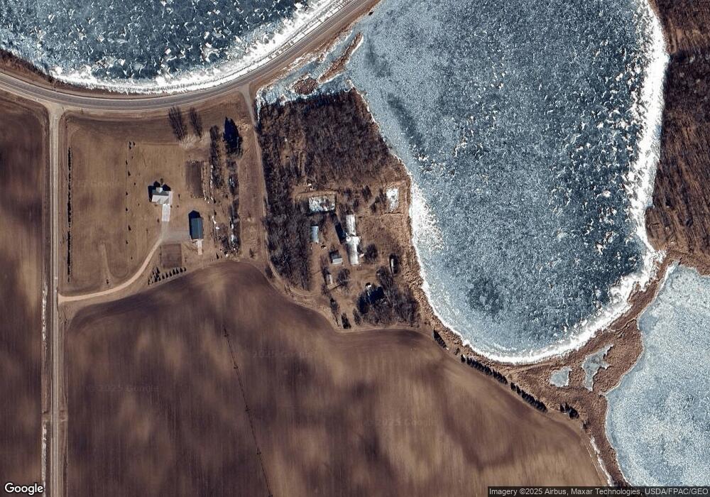
Map
Nearby Homes
- Lot 12 Block 2 402nd Ave
- 43561 E Paul Lake Dr
- 37791 Mallard Loop
- 40289 Aerovilla Rd
- 41165 427th St
- 41474 460 St
- 41474 460th St
- 37577 470th St
- 106 Main St
- 47136 374th Ave
- 47140 374th Ave
- 25 Turtle Bay Cir
- 511 Main St
- 902 9th St SW
- 805 9th Ave SW Unit B
- 42429 E Big McDonald Dr
- 38908 397th St
- 921 9th St NW
- 1003 8th Ave NW
- 860 9th St NW
- 43768 County Highway 123
- 39620 County Highway 34
- 39556 County Highway 34
- 43448 County Highway 123
- 38779 435th St
- 44180 E Little McDonald Dr
- 38852 435th St
- 44236 E Little McDonald Dr
- 43333 County Highway 123
- 39779 County Highway 34
- 448XX E Little McDonald Dr
- 37XXX E Little McDonald Dr
- 44075 E Little McDonald Dr
- TBD Paul Lake Dr E
- 0 Paul Lake Dr E
- 43941 E Paul Lake Dr
- 43927 E Paul Lake Dr
- 43931 E Paul Lake Dr
- 43949 E Paul Lake Dr
- 43971 E Paul Lake Dr