3914 White Stone Rd Newtown Square, PA 19073
Estimated Value: $2,550,000 - $3,193,000
5
Beds
6
Baths
7,586
Sq Ft
$365/Sq Ft
Est. Value
About This Home
This home is located at 3914 White Stone Rd, Newtown Square, PA 19073 and is currently estimated at $2,771,204, approximately $365 per square foot. 3914 White Stone Rd is a home with nearby schools including Culbertson Elementary School, Paxon Hollow Middle School, and Marple Newtown Senior High School.
Ownership History
Date
Name
Owned For
Owner Type
Purchase Details
Closed on
Jun 20, 2016
Sold by
Ashford Land Company Lp
Bought by
Stanley Anthony R and Stanley Holly M
Current Estimated Value
Home Financials for this Owner
Home Financials are based on the most recent Mortgage that was taken out on this home.
Original Mortgage
$1,558,296
Outstanding Balance
$1,240,231
Interest Rate
3.57%
Mortgage Type
New Conventional
Estimated Equity
$1,530,974
Create a Home Valuation Report for This Property
The Home Valuation Report is an in-depth analysis detailing your home's value as well as a comparison with similar homes in the area
Home Values in the Area
Average Home Value in this Area
Purchase History
| Date | Buyer | Sale Price | Title Company |
|---|---|---|---|
| Stanley Anthony R | $1,947,871 | Attorney |
Source: Public Records
Mortgage History
| Date | Status | Borrower | Loan Amount |
|---|---|---|---|
| Open | Stanley Anthony R | $1,558,296 |
Source: Public Records
Tax History Compared to Growth
Tax History
| Year | Tax Paid | Tax Assessment Tax Assessment Total Assessment is a certain percentage of the fair market value that is determined by local assessors to be the total taxable value of land and additions on the property. | Land | Improvement |
|---|---|---|---|---|
| 2025 | $28,680 | $1,723,420 | $299,080 | $1,424,340 |
| 2024 | $28,680 | $1,723,420 | $299,080 | $1,424,340 |
| 2023 | $27,776 | $1,723,420 | $299,080 | $1,424,340 |
| 2022 | $27,168 | $1,723,420 | $299,080 | $1,424,340 |
| 2021 | $41,534 | $1,723,420 | $299,080 | $1,424,340 |
| 2020 | $34,730 | $1,266,116 | $121,640 | $1,144,476 |
| 2019 | $34,179 | $1,266,116 | $121,640 | $1,144,476 |
| 2018 | $33,807 | $1,266,116 | $0 | $0 |
| 2017 | $33,695 | $1,266,116 | $0 | $0 |
| 2016 | $6,948 | $121,640 | $0 | $0 |
| 2015 | $681 | $121,640 | $0 | $0 |
| 2014 | $681 | $121,640 | $0 | $0 |
Source: Public Records
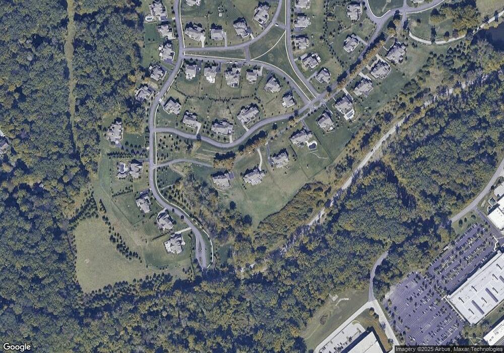
Map
Nearby Homes
- 3905 Rockwood Farm Rd
- 3804 Arbor Grove Ln
- 303 Squire Dr
- 3711 Liseter Gardens
- 304 Squire Dr
- 10 Fox Chase Cir
- 326 Squire Dr Unit 21C
- 225 Charles Ellis Dr
- 334 Foxtail Ln Unit 22D
- 4100 Meadow Ln
- 510 Tennis Ave
- 212 Chestnut St
- 3500 Goshen Rd
- 324 Bishop Hollow Rd
- 809 Ellis Ave
- 27 Mary Jane Ln
- 600 Waynesfield Dr
- 338 Stoney Knoll Ln
- 330 Stoney Knoll Ln
- 310 Jeffrey Ln
- 3916 White Stone Rd
- 3912 White Stone Rd
- 3910 White Stone Rd
- 3903 Dutton Farm Rd
- 3905 Dutton Farm Rd
- 298 Greenbank Ln
- 3907 Dutton Farm Rd
- 3908 White Stone Rd
- 300 Greenbank Ln
- 302 Greenbank Ln
- 304 Greenbank Ln
- 3927 Rockwood Farm Rd
- 306 Greenbank Ln
- 3918 Rockwood Farm Rd
- 3929 Rockwood Farm Rd
- 3906 White Stone Rd
- 3925 Rockwood Farm Rd
- 308 Greenbank Ln
- 3921 Rockwood Farm Rd
- 3904 White Stone Rd