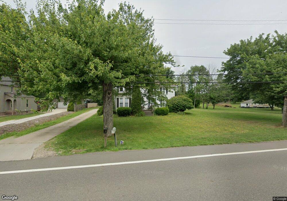
3915 State Route 44 Rootstown, OH 44272
Estimated Value: $169,000 - $331,000
5
Beds
2
Baths
2,096
Sq Ft
$108/Sq Ft
Est. Value
About This Home
This home is located at 3915 State Route 44, Rootstown, OH 44272 and is currently estimated at $225,729, approximately $107 per square foot. 3915 State Route 44 is a home located in Portage County with nearby schools including Rootstown Middle School - Schnee Building and Rootstown High School.
Ownership History
Date
Name
Owned For
Owner Type
Purchase Details
Closed on
Aug 19, 1999
Sold by
Bauman John Carl and Bauman Joanne M
Bought by
Horst Dean A and Horst Esther B
Current Estimated Value
Home Financials for this Owner
Home Financials are based on the most recent Mortgage that was taken out on this home.
Original Mortgage
$51,735
Interest Rate
7.61%
Purchase Details
Closed on
Jan 1, 1990
Bought by
Bauman John Carl
Create a Home Valuation Report for This Property
The Home Valuation Report is an in-depth analysis detailing your home's value as well as a comparison with similar homes in the area
Purchase History
| Date | Buyer | Sale Price | Title Company |
|---|---|---|---|
| Horst Dean A | $85,000 | Approved Statewide Title Age | |
| Bauman John Carl | -- | -- |
Source: Public Records
Mortgage History
| Date | Status | Borrower | Loan Amount |
|---|---|---|---|
| Closed | Horst Dean A | $51,735 |
Source: Public Records
Tax History Compared to Growth
Tax History
| Year | Tax Paid | Tax Assessment Tax Assessment Total Assessment is a certain percentage of the fair market value that is determined by local assessors to be the total taxable value of land and additions on the property. | Land | Improvement |
|---|---|---|---|---|
| 2024 | $2,434 | $52,260 | $9,800 | $42,460 |
| 2023 | $2,261 | $40,610 | $8,650 | $31,960 |
| 2022 | $2,354 | $40,610 | $8,650 | $31,960 |
| 2021 | $2,329 | $40,610 | $8,650 | $31,960 |
| 2020 | $1,974 | $35,320 | $8,230 | $27,090 |
| 2019 | $1,903 | $35,320 | $8,230 | $27,090 |
| 2017 | $1,862 | $36,020 | $8,750 | $27,270 |
| 2016 | $1,794 | $36,020 | $8,750 | $27,270 |
Source: Public Records
Map
Nearby Homes
- 3689 Cherry Hill
- 4106 Lynn Rd
- 3987 J A Vaughn Ave
- 0 Lynn Rd Unit 5110102
- V/L 2 Lynn Rd
- V/L Lynn Rd
- 0 New Milford Rd Unit 11489599
- 0 New Milford Rd Unit 5108183
- 4415 Farmette Dr
- 4225 Hattrick Rd
- 4691 Scenic Dr
- sub lot Lane Ave
- 3637 Old Forge Rd
- 3401 Biltz Rd
- 3021 Hartville Rd
- 4140 Sandy Lake Rd
- 4058 Bayberry Knoll Ln
- 3136 Bird Dr
- 3925 Summit Rd
- 443 Harvest Dr
- 3905 State Route 44
- 3916 State Route 44
- 3902 State Route 44
- 3937 State Route 44
- 3932 State Route 44
- 3944 State Route 44
- 3955 State Route 44
- 3959 State Route 44
- 3873 State Route 44
- 3958 State Route 44
- 3969 State Route 44
- 3949 Cook Rd
- 3972 State Route 44
- 3937 Cook Rd
- 3979 State Route 44
- 3987 State Route 44
- 0 Cook Rd Unit 4031406
- 0 Cook Rd Unit 4009107
- 0 Cook Rd Unit 3225034
- 0 Cook Rd Unit 3225076