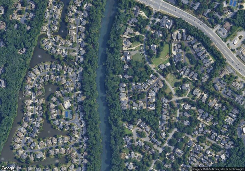
3915 the Battery Duluth, GA 30096
Estimated Value: $1,572,034 - $1,883,000
6
Beds
5
Baths
5,538
Sq Ft
$313/Sq Ft
Est. Value
About This Home
This home is located at 3915 the Battery, Duluth, GA 30096 and is currently estimated at $1,731,759, approximately $312 per square foot. 3915 the Battery is a home located in Gwinnett County with nearby schools including Chattahoochee Elementary School, Coleman Middle School, and Duluth High School.
Ownership History
Date
Name
Owned For
Owner Type
Purchase Details
Closed on
Nov 12, 2020
Sold by
Traynor Scott G
Bought by
Watson Monty G
Current Estimated Value
Home Financials for this Owner
Home Financials are based on the most recent Mortgage that was taken out on this home.
Original Mortgage
$992,000
Outstanding Balance
$870,257
Interest Rate
2.61%
Mortgage Type
New Conventional
Estimated Equity
$861,502
Purchase Details
Closed on
Apr 15, 2005
Sold by
Jolly Kimberly K
Bought by
Traynor Scott G and Traynor Lynn
Home Financials for this Owner
Home Financials are based on the most recent Mortgage that was taken out on this home.
Original Mortgage
$164,950
Interest Rate
5.88%
Mortgage Type
Unknown
Create a Home Valuation Report for This Property
The Home Valuation Report is an in-depth analysis detailing your home's value as well as a comparison with similar homes in the area
Home Values in the Area
Average Home Value in this Area
Purchase History
| Date | Buyer | Sale Price | Title Company |
|---|---|---|---|
| Watson Monty G | $1,240,000 | -- | |
| Traynor Scott G | $1,100,000 | -- |
Source: Public Records
Mortgage History
| Date | Status | Borrower | Loan Amount |
|---|---|---|---|
| Open | Watson Monty G | $992,000 | |
| Previous Owner | Traynor Scott G | $164,950 | |
| Previous Owner | Traynor Scott G | $825,000 |
Source: Public Records
Tax History Compared to Growth
Tax History
| Year | Tax Paid | Tax Assessment Tax Assessment Total Assessment is a certain percentage of the fair market value that is determined by local assessors to be the total taxable value of land and additions on the property. | Land | Improvement |
|---|---|---|---|---|
| 2025 | $4,008 | $629,760 | $120,720 | $509,040 |
| 2024 | $16,723 | $605,600 | $135,200 | $470,400 |
| 2023 | $16,723 | $390,000 | $105,120 | $284,880 |
| 2022 | $11,833 | $390,000 | $105,120 | $284,880 |
| 2021 | $12,104 | $454,680 | $105,120 | $349,560 |
| 2020 | $10,137 | $346,560 | $94,400 | $252,160 |
| 2019 | $12,410 | $346,560 | $94,400 | $252,160 |
| 2018 | $10,167 | $346,560 | $94,400 | $252,160 |
| 2016 | $9,532 | $317,360 | $94,400 | $222,960 |
| 2015 | $11,551 | $317,360 | $94,400 | $222,960 |
| 2014 | $9,700 | $317,360 | $94,400 | $222,960 |
Source: Public Records
Map
Nearby Homes
- 9025 Etching Overlook
- 3967 Sweet Bottom Dr
- 9355 Riverclub Pkwy
- 4027 Wood Acres Ct
- 3865 Whitney Place
- 717 Beaufort Cir
- 3533 Mulberry Way
- 509 Bedfort Dr
- 3732 Whitney Place
- 4166 Oakwood Way
- 113 Brittany Ct
- 224 Brittany Ct Unit 224
- 4160 Darby Way
- 4138 Crape Myrtle Ln Unit E
- 4128 Boxwood Way
- 4129 Boxwood Way
- 3692 Howell Wood Trail NW
- 3767 Berkeley Crossing
- 3742 Berkeley Crossing
- 3752 Berkeley Crossing
- 3911 the Battery Unit 4
- 3891 the Battery
- 3847 Sweet Bottom Dr Unit 1
- 3921 the Battery
- 3881 the Battery
- 3931 the Battery
- 3837 Sweet Bottom Dr
- 3871 the Battery Unit 10
- 3871 the Battery
- 3941 the Battery
- 3940 the Battery
- 3901 the Battery
- 3861 the Battery Unit 2
- 3827 Sweet Bottom Dr Unit 1
- 3930 the Battery
- 3870 the Battery Unit 22
- 3870 the Battery Unit 4
- 3851 the Battery
- 3880 the Battery
- 3860 the Battery
