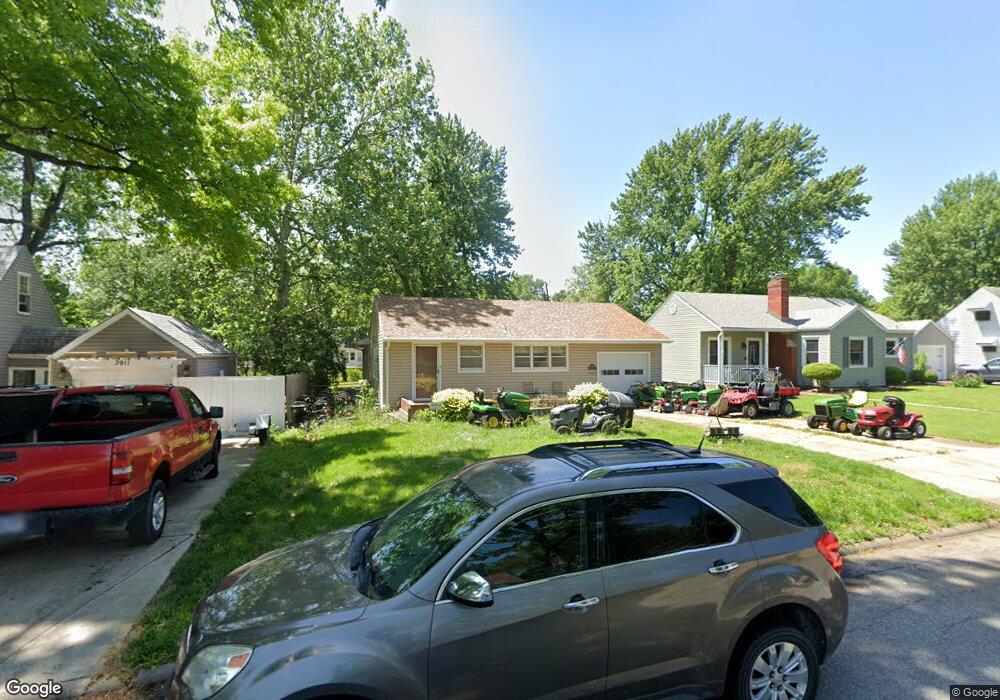
3917 SW Windsor Ct Topeka, KS 66604
McAlister Parkway NeighborhoodEstimated Value: $154,000 - $192,000
3
Beds
2
Baths
1,092
Sq Ft
$163/Sq Ft
Est. Value
About This Home
This home is located at 3917 SW Windsor Ct, Topeka, KS 66604 and is currently estimated at $178,145, approximately $163 per square foot. 3917 SW Windsor Ct is a home located in Shawnee County with nearby schools including Whitson Elementary School, Landon Middle School, and Topeka West High School.
Ownership History
Date
Name
Owned For
Owner Type
Purchase Details
Closed on
Dec 11, 2007
Sold by
Secretary Of Housing & Urban Development
Bought by
Glynn Michael L
Current Estimated Value
Home Financials for this Owner
Home Financials are based on the most recent Mortgage that was taken out on this home.
Original Mortgage
$61,500
Outstanding Balance
$38,867
Interest Rate
6.27%
Mortgage Type
New Conventional
Estimated Equity
$139,278
Purchase Details
Closed on
Jan 3, 2007
Sold by
Munoz Lynn N and Jasso Carlos A
Bought by
Secretary Of Hud
Create a Home Valuation Report for This Property
The Home Valuation Report is an in-depth analysis detailing your home's value as well as a comparison with similar homes in the area
Home Values in the Area
Average Home Value in this Area
Purchase History
| Date | Buyer | Sale Price | Title Company |
|---|---|---|---|
| Glynn Michael L | -- | Kansas Secured Title | |
| Secretary Of Hud | $79,965 | None Available |
Source: Public Records
Mortgage History
| Date | Status | Borrower | Loan Amount |
|---|---|---|---|
| Open | Glynn Michael L | $61,500 |
Source: Public Records
Tax History Compared to Growth
Tax History
| Year | Tax Paid | Tax Assessment Tax Assessment Total Assessment is a certain percentage of the fair market value that is determined by local assessors to be the total taxable value of land and additions on the property. | Land | Improvement |
|---|---|---|---|---|
| 2025 | $2,403 | $17,813 | -- | -- |
| 2023 | $2,403 | $16,163 | $0 | $0 |
| 2022 | $2,081 | $14,055 | $0 | $0 |
| 2021 | $1,910 | $12,222 | $0 | $0 |
| 2020 | $1,797 | $11,640 | $0 | $0 |
| 2019 | $1,771 | $11,412 | $0 | $0 |
| 2018 | $1,720 | $11,080 | $0 | $0 |
| 2017 | $1,690 | $10,863 | $0 | $0 |
| 2014 | $1,706 | $10,863 | $0 | $0 |
Source: Public Records
Map
Nearby Homes
- 4401 SW Connemara Ln
- 4405 SW Connemara Ln
- 4200 SW Stratford Rd
- 3636 SW Stratford Rd
- 4221 SW 17th St
- 1533 SW Stratford Rd
- 1625 SW Lakeside Dr
- 1421 SW Mcalister Ave
- 3516 SW Avalon Ln
- 4230 SW 19th St
- 1274 SW Indian Trail Ct
- 3405 SW Huntoon St
- 3100 SW Canterbury Ln
- 1520 SW Oakley Ave
- 1212 SW New Forest Dr
- 1225 SW Lakeside Dr
- 2028 SW Stone Ave
- 1944 SW Quivira Dr
- 2012 SW Westwood Dr
- 1019 SW Exmoor Ln Unit Tract 17
- 3911 SW Windsor Ct
- 3919 SW Windsor Ct
- 3909 SW Windsor Ct
- 3916 SW Stratford Rd
- 3920 SW Stratford Rd
- 4001 SW Windsor Ct
- 3910 SW Stratford Rd
- 4000 SW Stratford Rd
- 3916 SW Windsor Ct
- 3918 SW Windsor Ct
- 4005 SW Windsor Ct
- 3910 SW Windsor Ct
- 4004 SW Stratford Rd
- 4000 SW Windsor Ct
- 1515 SW Gage Blvd
- 1535 SW Gage Blvd
- 4009 SW Windsor Ct
- 4008 SW Stratford Rd
- 4010 SW Windsor Ct
- 1509 SW Gage Blvd