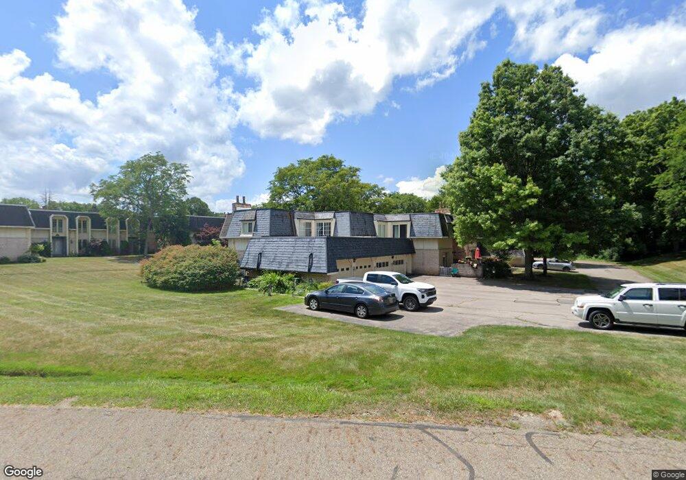
3918 Sawbridge Dr Unit 7 Richfield, OH 44286
Estimated Value: $195,000 - $263,000
3
Beds
3
Baths
1,642
Sq Ft
$134/Sq Ft
Est. Value
About This Home
This home is located at 3918 Sawbridge Dr Unit 7, Richfield, OH 44286 and is currently estimated at $219,824, approximately $133 per square foot. 3918 Sawbridge Dr Unit 7 is a home located in Summit County with nearby schools including Richfield Elementary School, Bath Elementary School, and Revere Middle School.
Ownership History
Date
Name
Owned For
Owner Type
Purchase Details
Closed on
Oct 26, 2006
Sold by
Clasen Craig G and Clasen Joyce C
Bought by
Kocian Michelle M
Current Estimated Value
Home Financials for this Owner
Home Financials are based on the most recent Mortgage that was taken out on this home.
Original Mortgage
$137,000
Interest Rate
6.5%
Mortgage Type
Purchase Money Mortgage
Purchase Details
Closed on
Mar 29, 1995
Sold by
Mellon Bank
Bought by
Clasen Craig G and Mcinerney Joyce C
Home Financials for this Owner
Home Financials are based on the most recent Mortgage that was taken out on this home.
Original Mortgage
$54,000
Interest Rate
8.91%
Mortgage Type
New Conventional
Purchase Details
Closed on
Jul 12, 1994
Sold by
Shrf Sherri F Harvey Pr
Bought by
Mellon Bank
Create a Home Valuation Report for This Property
The Home Valuation Report is an in-depth analysis detailing your home's value as well as a comparison with similar homes in the area
Home Values in the Area
Average Home Value in this Area
Purchase History
| Date | Buyer | Sale Price | Title Company |
|---|---|---|---|
| Kocian Michelle M | $137,000 | None Available | |
| Clasen Craig G | $84,000 | -- | |
| Mellon Bank | $89,550 | -- |
Source: Public Records
Mortgage History
| Date | Status | Borrower | Loan Amount |
|---|---|---|---|
| Previous Owner | Kocian Michelle M | $137,000 | |
| Previous Owner | Clasen Craig G | $54,000 |
Source: Public Records
Tax History Compared to Growth
Tax History
| Year | Tax Paid | Tax Assessment Tax Assessment Total Assessment is a certain percentage of the fair market value that is determined by local assessors to be the total taxable value of land and additions on the property. | Land | Improvement |
|---|---|---|---|---|
| 2025 | $2,251 | $52,459 | $4,526 | $47,933 |
| 2024 | $2,251 | $52,459 | $4,526 | $47,933 |
| 2023 | $2,251 | $52,459 | $4,526 | $47,933 |
| 2022 | $1,892 | $38,808 | $3,304 | $35,504 |
| 2021 | $1,894 | $38,808 | $3,304 | $35,504 |
| 2020 | $1,849 | $38,800 | $3,300 | $35,500 |
| 2019 | $1,876 | $36,920 | $4,460 | $32,460 |
| 2018 | $1,855 | $36,920 | $4,460 | $32,460 |
| 2017 | $1,886 | $36,920 | $4,460 | $32,460 |
| 2016 | $1,975 | $36,920 | $4,460 | $32,460 |
| 2015 | $1,886 | $36,920 | $4,460 | $32,460 |
| 2014 | $1,873 | $36,920 | $4,460 | $32,460 |
| 2013 | $1,915 | $39,620 | $4,460 | $35,160 |
Source: Public Records
Map
Nearby Homes
- 3860 Sawbridge Dr Unit 21
- 3596 Burrwood Dr
- Woodside Plan at Briarwood Estates - Reserve
- Skyview Plan at Briarwood Estates - Reserve
- 3491 Douglas Dr
- 3454 Skye Ridge Dr
- V/L Brecksville Rd
- 3399 Turnbury Dr
- 3546 Robert Burns Dr
- 3123 Aviemore Way
- 3521 Hamilton Dr
- 3371 Brecksville Rd
- 3929 Humphrey Rd
- 3478 Crandall Ave
- 2731 Virginia Dr
- 4226 Broadview Rd
- 5170 Black Rd
- 4840 Berkley Rd
- 3035 Rainbow Ln
- 4241 Maple Dr
- 3420 Burrwood Dr Unit 16
- 3420 Burrwood Dr Unit 13
- 3420 Burrwood Dr Unit 3
- 3420 Burrwood Dr Unit 2
- 3420 Burrwood Dr Unit 17
- 3420 Burrwood Dr
- 3420 Burrwood Dr Unit 14
- 3420 Burrwood Dr Unit 15
- 3916 Burrwood Dr
- 3916 Burrwood Dr
- 3916 Burrwood Dr Unit 10
- 3920 Sawbridge Dr
- 3920 Sawbridge Dr
- 3920 Sawbridge Dr Unit 2
- 3920 Sawbridge Dr
- 3920 Sawbridge Dr
- 3920 Sawbridge Dr Unit 1
- 3920 Sawbridge Dr Unit 3
- 3920 Sawbridge Dr Unit 4
- 3916 Sawbridge Dr Unit 10