39183 Riverside Ct North Branch, MN 55056
Estimated Value: $417,629 - $444,000
5
Beds
4
Baths
1,758
Sq Ft
$243/Sq Ft
Est. Value
About This Home
This home is located at 39183 Riverside Ct, North Branch, MN 55056 and is currently estimated at $426,407, approximately $242 per square foot. 39183 Riverside Ct is a home located in Chisago County with nearby schools including North Branch Middle School, Sunrise River Elementary School, and North Branch Senior High School.
Ownership History
Date
Name
Owned For
Owner Type
Purchase Details
Closed on
Sep 1, 2016
Sold by
Halsted Richard and Halsted Vicki
Bought by
Wurdemann Peter A and Wurdemann Lisa L
Current Estimated Value
Home Financials for this Owner
Home Financials are based on the most recent Mortgage that was taken out on this home.
Original Mortgage
$225,000
Interest Rate
3.43%
Mortgage Type
New Conventional
Purchase Details
Closed on
Oct 28, 2011
Sold by
Miska Therese L
Bought by
Halsted Richard
Purchase Details
Closed on
Dec 16, 2005
Sold by
Zimdars Rick and Zimdars Jennie
Bought by
Miske Therese L
Create a Home Valuation Report for This Property
The Home Valuation Report is an in-depth analysis detailing your home's value as well as a comparison with similar homes in the area
Home Values in the Area
Average Home Value in this Area
Purchase History
| Date | Buyer | Sale Price | Title Company |
|---|---|---|---|
| Wurdemann Peter A | $250,000 | Partners Title | |
| Halsted Richard | $199,900 | -- | |
| Miske Therese L | $276,000 | -- |
Source: Public Records
Mortgage History
| Date | Status | Borrower | Loan Amount |
|---|---|---|---|
| Previous Owner | Wurdemann Peter A | $225,000 |
Source: Public Records
Tax History Compared to Growth
Tax History
| Year | Tax Paid | Tax Assessment Tax Assessment Total Assessment is a certain percentage of the fair market value that is determined by local assessors to be the total taxable value of land and additions on the property. | Land | Improvement |
|---|---|---|---|---|
| 2024 | $4,678 | $358,600 | $0 | $0 |
| 2023 | $4,678 | $390,300 | $0 | $0 |
| 2022 | $4,716 | $360,500 | $0 | $0 |
| 2021 | $4,412 | $291,100 | $0 | $0 |
| 2020 | $4,346 | $291,000 | $46,000 | $245,000 |
| 2019 | $4,456 | $0 | $0 | $0 |
| 2018 | $4,132 | $0 | $0 | $0 |
| 2017 | $3,556 | $0 | $0 | $0 |
| 2016 | $3,298 | $0 | $0 | $0 |
| 2015 | $3,428 | $0 | $0 | $0 |
| 2014 | -- | $180,500 | $0 | $0 |
Source: Public Records
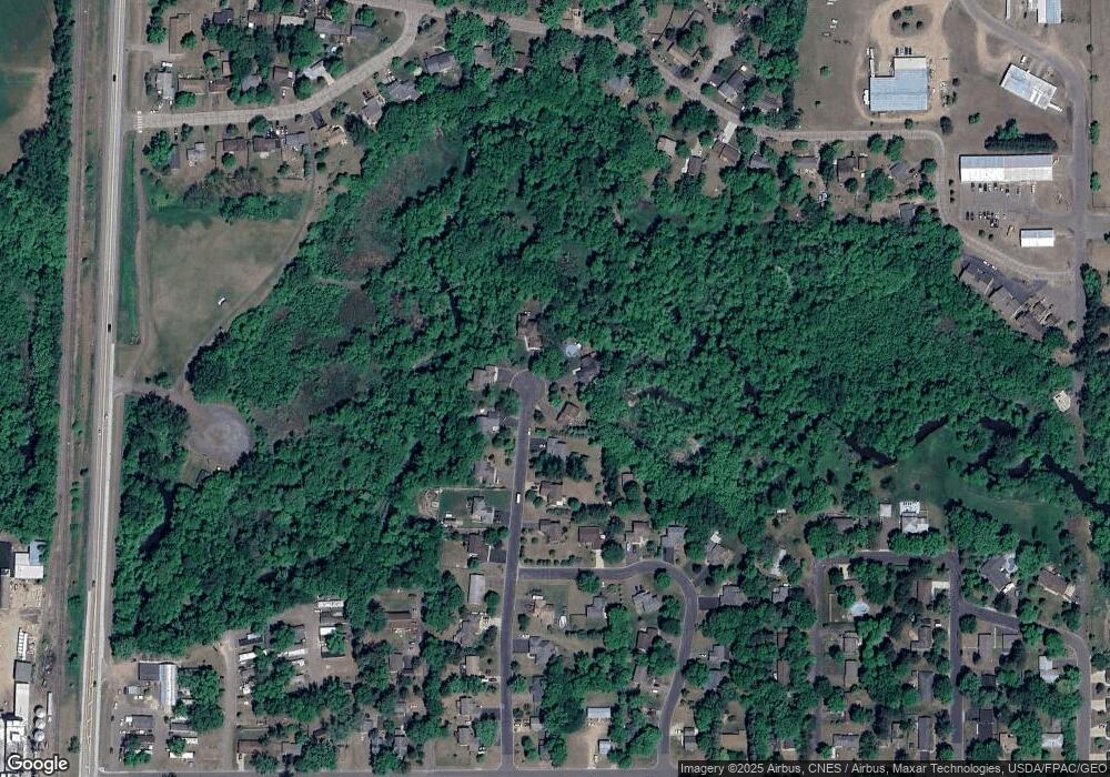
Map
Nearby Homes
- 39183 Grand Ave
- 36XXX Forest Blvd
- XXX Ash St
- 38958 Elm Ct
- 38946 7th Ave
- 6231 Red Fox Run
- XXXXX Maple St
- 38558 Grand Ave
- 6072 Chippewa Trail
- TBD Saint Croix Trail
- 38692 Hawthorne Ave
- 38xxx Oakview Ave
- 38578 Hawthorne Ave
- 5244 391st St
- 38470 Glacier Dr
- 38725 12th Ave Unit 83
- 38632 Oakview Ave
- 7255 Hawthorne Ct
- 7222 Hawthorne Ct
- 7246 385th St
- 39177 Riverside Ct
- 39189 Riverside Ct
- 39186 Riverside Ct
- 39168 Riverside Ct
- 39135 Riverside Ct
- 39148 Riverside Ct
- 6580 Rivercrest Dr
- 6602 Rivercrest Dr
- 39119 Riverside Ct
- 39130 Riverside Ct
- 6614 Rivercrest Dr
- 6625 Birch St
- 39112 Riverside Ct
- 6626 Rivercrest Dr
- 6605 Rivercrest Dr
- 6581 Rivercrest Dr
- 39081 Riverside Ct
- 39094 Riverside Ct
- 6637 Birch St
- 39075 4th Ave