Estimated Value: $113,000 - $277,602
3
Beds
1
Bath
1,536
Sq Ft
$144/Sq Ft
Est. Value
About This Home
This home is located at 3919 State Route 39, Lucas, OH 44843 and is currently estimated at $220,901, approximately $143 per square foot. 3919 State Route 39 is a home located in Richland County with nearby schools including Lucas Elementary School, Lucas Heritage Middle School, and Lucas High School.
Ownership History
Date
Name
Owned For
Owner Type
Purchase Details
Closed on
Sep 4, 2020
Sold by
Southard Douglas J and Southard Douglas
Bought by
Southard Janet J
Current Estimated Value
Home Financials for this Owner
Home Financials are based on the most recent Mortgage that was taken out on this home.
Original Mortgage
$85,000
Outstanding Balance
$70,203
Interest Rate
3%
Mortgage Type
Future Advance Clause Open End Mortgage
Estimated Equity
$150,698
Purchase Details
Closed on
Dec 2, 2016
Sold by
Franks Nancy
Bought by
Southard Douglas
Purchase Details
Closed on
Nov 1, 2016
Sold by
Estate Of Gary L Franks
Bought by
Franks Nancy
Purchase Details
Closed on
Nov 20, 2001
Sold by
Brandt Robert W
Bought by
Franks Gary L
Home Financials for this Owner
Home Financials are based on the most recent Mortgage that was taken out on this home.
Original Mortgage
$104,400
Interest Rate
6.69%
Mortgage Type
New Conventional
Purchase Details
Closed on
May 18, 1994
Sold by
Brandt Robert W
Bought by
Brandt Robert W
Create a Home Valuation Report for This Property
The Home Valuation Report is an in-depth analysis detailing your home's value as well as a comparison with similar homes in the area
Home Values in the Area
Average Home Value in this Area
Purchase History
| Date | Buyer | Sale Price | Title Company |
|---|---|---|---|
| Southard Janet J | $85,000 | Chicago Title | |
| Southard Douglas | $50,000 | Southern Title | |
| Franks Nancy | -- | None Available | |
| Franks Gary L | $116,000 | -- | |
| Brandt Robert W | -- | -- |
Source: Public Records
Mortgage History
| Date | Status | Borrower | Loan Amount |
|---|---|---|---|
| Open | Southard Janet J | $85,000 | |
| Previous Owner | Franks Gary L | $104,400 |
Source: Public Records
Tax History Compared to Growth
Tax History
| Year | Tax Paid | Tax Assessment Tax Assessment Total Assessment is a certain percentage of the fair market value that is determined by local assessors to be the total taxable value of land and additions on the property. | Land | Improvement |
|---|---|---|---|---|
| 2024 | $2,154 | $51,070 | $17,780 | $33,290 |
| 2023 | $2,154 | $51,070 | $17,780 | $33,290 |
| 2022 | $1,987 | $41,980 | $15,900 | $26,080 |
| 2021 | $1,992 | $41,980 | $15,900 | $26,080 |
| 2020 | $2,024 | $41,980 | $15,900 | $26,080 |
| 2019 | $1,839 | $35,840 | $13,470 | $22,370 |
| 2018 | $1,893 | $35,840 | $13,470 | $22,370 |
| 2017 | $1,905 | $35,840 | $13,470 | $22,370 |
| 2016 | $1,870 | $35,580 | $12,250 | $23,330 |
| 2015 | $1,869 | $35,580 | $12,250 | $23,330 |
| 2014 | $1,879 | $35,580 | $12,250 | $23,330 |
| 2012 | $929 | $35,580 | $12,250 | $23,330 |
Source: Public Records
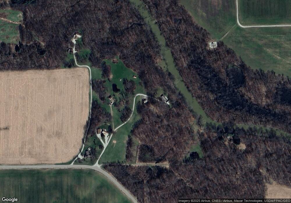
Map
Nearby Homes
- 0 Applegate Rd
- 2428 Applegate Rd
- 0 Mount Zion Rd Unit 9069748
- 27 E Main St
- 0 Moffett Rd
- 174 W Main St
- 1048 Township Road 2156
- 968 Township Road 2506
- 3386 Trumpower Rd
- 68.40 Acres Trumpower Rd
- 0 Trumpower Rd
- 0 Township Road 925
- 3261 Moffett Rd
- 2905 Tucker Rd
- 2750 Lutz Ave
- 0 Peterson Rd
- 1183 County Road 30a
- 19 Maine St
- 1106 County Road 30a
- 2221 Pleasant Valley Rd
- 3921 State Route 39
- 3911 State Route 39
- 3911 State Route 39
- 3913 State Route 39
- 3899 State Route 39
- 3917 State Route 39
- 3893 Ohio 39
- 3893 State Route 39
- 4038 State Route 39
- 3789 State Route 39
- 3771 State Route 39
- 1603 State Route 603
- 3729 State Route 39
- 1695 State Route 603
- 1661 State Route 603
- 1629 State Route 603
- 1723 State Route 603
- 1600 State Route 603
- 1600 State Route 603
- 4081 State Route 39