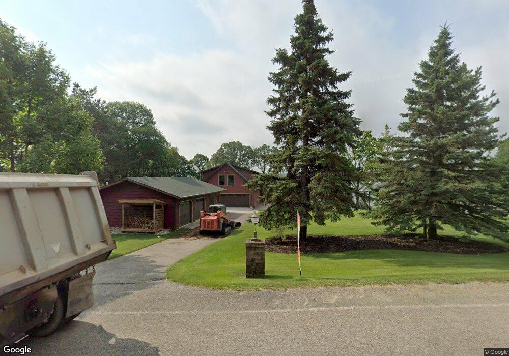
39194 397th St Perham, MN 56573
Estimated Value: $582,000 - $991,325
Studio
1
Bath
1,485
Sq Ft
$549/Sq Ft
Est. Value
About This Home
This home is located at 39194 397th St, Perham, MN 56573 and is currently estimated at $815,831, approximately $549 per square foot. 39194 397th St is a home located in Otter Tail County with nearby schools including Heart of the Lake Elementary School and Perham Senior High School.
Ownership History
Date
Name
Owned For
Owner Type
Purchase Details
Closed on
Aug 14, 2015
Sold by
Wangsness Carl Carl
Bought by
Boarini James and Boarini Joy
Current Estimated Value
Home Financials for this Owner
Home Financials are based on the most recent Mortgage that was taken out on this home.
Original Mortgage
$466,500
Outstanding Balance
$367,522
Interest Rate
4.08%
Estimated Equity
$448,309
Create a Home Valuation Report for This Property
The Home Valuation Report is an in-depth analysis detailing your home's value as well as a comparison with similar homes in the area
Purchase History
| Date | Buyer | Sale Price | Title Company |
|---|---|---|---|
| Boarini James | $466,500 | -- |
Source: Public Records
Mortgage History
| Date | Status | Borrower | Loan Amount |
|---|---|---|---|
| Open | Boarini James | $466,500 |
Source: Public Records
Tax History
| Year | Tax Paid | Tax Assessment Tax Assessment Total Assessment is a certain percentage of the fair market value that is determined by local assessors to be the total taxable value of land and additions on the property. | Land | Improvement |
|---|---|---|---|---|
| 2025 | $6,266 | $874,700 | $317,800 | $556,900 |
| 2024 | $4,062 | $835,700 | $296,500 | $539,200 |
| 2023 | $4,142 | $547,400 | $229,600 | $317,800 |
| 2022 | $4,222 | $414,200 | $0 | $0 |
| 2021 | $4,478 | $547,400 | $229,600 | $317,800 |
| 2020 | $4,374 | $474,900 | $169,400 | $305,500 |
| 2019 | $4,300 | $450,800 | $169,400 | $281,400 |
| 2018 | $2,982 | $450,800 | $169,400 | $281,400 |
| 2017 | $3,542 | $293,800 | $141,100 | $152,700 |
| 2016 | $3,346 | $329,200 | $141,100 | $188,100 |
| 2015 | $2,838 | $0 | $0 | $0 |
| 2014 | -- | $322,000 | $141,100 | $180,900 |
Source: Public Records
Map
Nearby Homes
- 37675 395th St
- 37923 County Highway 44
- 42626 County Highway 125
- 41165 427th St
- 42734 State Highway 108
- 38226 County Highway 35
- 37084 Hackberry Point Rd
- 343XX 405th Ave
- Lot 4 Seclusion Point Rd
- Lot 12 Block 2 402nd Ave
- 378 Mallard Loop
- 37791 Mallard Loop
- Tbd Jeff Lake Rd
- 43894 Easy St
- 34306 Twin Island Ln
- 34343 Twin Island Dr
- TBD 355th St
- 34520 County Highway 14
- Tbd 395th St
- 902 9th St SW
- 39174 397th St
- 39220 397th St
- 39160 397th St
- 39226 397th St
- 39090 397th St
- 39014 397th St
- 39090 397th St
- 39126 397th St
- 39284 397th St
- 39090 397th St
- 39314 397th St
- 39xxx 397th ''Juniper Hills'' St
- 39088 397th St
- 39323 397th St
- 39078 397th St
- 39078 397th St
- 39328 397th St
- Tbd 397th St
- 39358 397th St
- 0 397th St Unit 20-19533
Your Personal Tour Guide
Ask me questions while you tour the home.