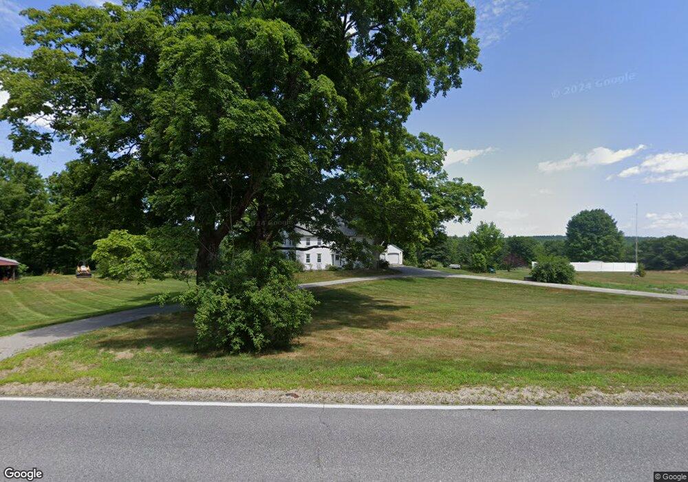
392 1st Crown Point Rd Strafford, NH 03884
Estimated Value: $558,000 - $1,277,000
4
Beds
2
Baths
2,400
Sq Ft
$337/Sq Ft
Est. Value
About This Home
This home is located at 392 1st Crown Point Rd, Strafford, NH 03884 and is currently estimated at $808,674, approximately $336 per square foot. 392 1st Crown Point Rd is a home with nearby schools including Strafford School and Coe-Brown Northwood Academy.
Ownership History
Date
Name
Owned For
Owner Type
Purchase Details
Closed on
Jul 31, 1996
Sold by
Fistere Charles G and Fistere Lois C
Bought by
Garvin Jeff S and Garvin Lynn D
Current Estimated Value
Home Financials for this Owner
Home Financials are based on the most recent Mortgage that was taken out on this home.
Original Mortgage
$256,400
Outstanding Balance
$20,376
Interest Rate
8.27%
Estimated Equity
$788,298
Create a Home Valuation Report for This Property
The Home Valuation Report is an in-depth analysis detailing your home's value as well as a comparison with similar homes in the area
Home Values in the Area
Average Home Value in this Area
Purchase History
| Date | Buyer | Sale Price | Title Company |
|---|---|---|---|
| Garvin Jeff S | $269,900 | -- |
Source: Public Records
Mortgage History
| Date | Status | Borrower | Loan Amount |
|---|---|---|---|
| Open | Garvin Jeff S | $30,000 | |
| Open | Garvin Jeff S | $256,400 |
Source: Public Records
Tax History Compared to Growth
Tax History
| Year | Tax Paid | Tax Assessment Tax Assessment Total Assessment is a certain percentage of the fair market value that is determined by local assessors to be the total taxable value of land and additions on the property. | Land | Improvement |
|---|---|---|---|---|
| 2024 | $8,327 | $421,400 | $95,200 | $326,200 |
| 2023 | $7,855 | $421,400 | $95,200 | $326,200 |
| 2022 | $7,241 | $422,700 | $96,500 | $326,200 |
| 2021 | $7,491 | $405,800 | $96,800 | $309,000 |
| 2020 | $6,561 | $255,800 | $74,300 | $181,500 |
| 2019 | $6,001 | $255,700 | $74,200 | $181,500 |
| 2018 | $6,127 | $259,300 | $74,200 | $185,100 |
| 2016 | $5,525 | $260,000 | $74,900 | $185,100 |
| 2015 | $5,444 | $249,600 | $90,600 | $159,000 |
| 2014 | $5,783 | $249,700 | $90,700 | $159,000 |
| 2013 | -- | $249,600 | $91,200 | $158,400 |
| 2012 | $5,586 | $249,600 | $91,200 | $158,400 |
Source: Public Records
Map
Nearby Homes
- 948 Strafford Rd
- 345 Dry Hill Rd
- 38 Strafford Rd
- 00 Squire Rd
- 30 Avalon Rd
- 83 Sloper Rd
- 243 Second Crown Point Rd
- 86 Long Shores Dr
- 68 Berry River Rd
- 0 Sloper Rd Unit 6
- 0 Long Shores Dr Unit 5057687
- Map 220 Lot 16 Four Rod Rd
- 272 Walnut St
- 1226 First Crown Point Rd
- 40 Dry Hill Rd Unit Lot 0250/0006/0000
- 217-13 Washington St
- 212-0003-01 Washington St
- 207-002 Washington St
- 185 Mahala Way
- 90 Places Crossing Rd
- 391 1st Crown Point Rd
- 403 1st Crown Point Rd
- 413 1st Crown Point Rd
- 352 1st Crown Point Rd
- 441 1st Crown Point Rd
- 441 1st Crown Point Rd
- 340 1st Crown Point Rd
- 327 1st Crown Point Rd
- 327 1st Crown Point Rd
- 320 1st Crown Point Rd
- 444 1st Crown Point Rd
- 492 1st Crown Point Rd
- 1041 1st Crown Point Rd
- 483 1st Crown Point Rd
- 43 Cross Rd
- 55 Cross Rd
- 493 1st Crown Point Rd
- 296 1st Crown Point Rd
- 758 2nd Crown Point Rd
- 82 Cross Rd