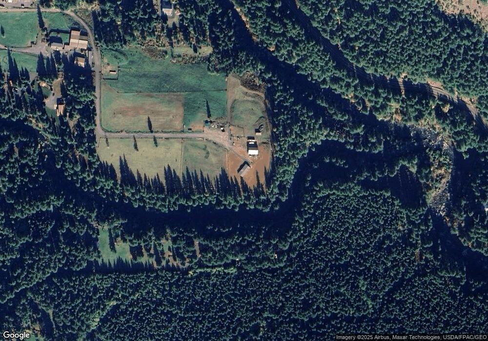
392 Angus Rd Carson, WA 98610
Estimated Value: $476,000 - $581,000
3
Beds
2
Baths
2,040
Sq Ft
$259/Sq Ft
Est. Value
About This Home
This home is located at 392 Angus Rd, Carson, WA 98610 and is currently estimated at $528,000, approximately $258 per square foot. 392 Angus Rd is a home with nearby schools including Carson Elementary School, Stevenson Elementary School, and Wind River Middle School.
Ownership History
Date
Name
Owned For
Owner Type
Purchase Details
Closed on
Jul 18, 2022
Sold by
Cascade Equipment & Development Llc
Bought by
Vance Kevin and Vance Katherine Suzanne
Current Estimated Value
Purchase Details
Closed on
May 13, 2016
Sold by
Erken Norman and Erken Nancy
Bought by
Cascade Equipment & Development Llc
Purchase Details
Closed on
Oct 1, 2007
Sold by
Erken Norman and Erken Nancy
Bought by
Erken Norman and Erken Nancy
Purchase Details
Closed on
May 19, 2006
Sold by
Erken Norman and Erken Nancy
Bought by
Goodrich Leroy and Goodrich Dorothy Darlen
Create a Home Valuation Report for This Property
The Home Valuation Report is an in-depth analysis detailing your home's value as well as a comparison with similar homes in the area
Purchase History
| Date | Buyer | Sale Price | Title Company |
|---|---|---|---|
| Vance Kevin | -- | Clark County Title | |
| Cascade Equipment & Development Llc | $1,928,727 | Columbia Gorge Title | |
| Erken Norman | -- | None Available | |
| Goodrich Leroy | -- | None Available |
Source: Public Records
Tax History Compared to Growth
Tax History
| Year | Tax Paid | Tax Assessment Tax Assessment Total Assessment is a certain percentage of the fair market value that is determined by local assessors to be the total taxable value of land and additions on the property. | Land | Improvement |
|---|---|---|---|---|
| 2025 | $3,564 | $428,300 | $143,900 | $284,400 |
| 2024 | $3,362 | $395,500 | $137,000 | $258,500 |
| 2023 | $1,081 | $125,000 | $125,000 | $0 |
| 2022 | $110 | $9,500 | $9,500 | $0 |
| 2021 | $114 | $9,500 | $9,500 | $0 |
| 2020 | $117 | $9,500 | $9,500 | $0 |
| 2019 | $108 | $9,500 | $9,500 | $0 |
| 2018 | $120 | $9,500 | $9,500 | $0 |
| 2017 | $717 | $80,000 | $80,000 | $0 |
| 2015 | $821 | $80,000 | $80,000 | $0 |
| 2013 | -- | $80,000 | $80,000 | $0 |
Source: Public Records
Map
Nearby Homes
- 0 Heslen Rd Unit 652803999
- 252 Blackledge Rd
- 11 Edgewater Dr
- 202 Edgewater Dr
- 1281 Szydlo Rd
- 0 Cedar Creek Rd
- 62 Sadie Rd
- 161 Cannavina Pvt Rd Unit 4
- 92 Cannavinna Rd Unit 17
- 92 Cannavinna Rd
- 0 Boulder Ridge Unit 24665205
- 0 Boulder Ridge Unit 283611920
- 0 Bear Creek Rd
- 3031 Loop Rd
- 81 Mathany Rd
- 181 Vada St
- 111 Mathany Rd
- 0 Fern Meadows Rd
- 22 Venado Trail
- 72 Brunning Rd
