392 Apache Rd Gunnison, CO 81230
Estimated Value: $905,175 - $1,386,000
3
Beds
4
Baths
2,773
Sq Ft
$416/Sq Ft
Est. Value
About This Home
This home is located at 392 Apache Rd, Gunnison, CO 81230 and is currently estimated at $1,154,294, approximately $416 per square foot. 392 Apache Rd is a home located in Gunnison County with nearby schools including Gunnison Elementary School, Gunnison Middle School, and Crested Butte Community School.
Ownership History
Date
Name
Owned For
Owner Type
Purchase Details
Closed on
Sep 24, 2009
Sold by
Rubio Llc
Bought by
Sieck William and Sieck Hertha R
Current Estimated Value
Home Financials for this Owner
Home Financials are based on the most recent Mortgage that was taken out on this home.
Original Mortgage
$250,500
Outstanding Balance
$164,239
Interest Rate
5.16%
Mortgage Type
New Conventional
Estimated Equity
$990,055
Purchase Details
Closed on
Dec 8, 2006
Sold by
Coffey J Ronald and Coffey Vandelyn S
Bought by
Rubio Llc
Home Financials for this Owner
Home Financials are based on the most recent Mortgage that was taken out on this home.
Original Mortgage
$250,000
Interest Rate
6.31%
Mortgage Type
Future Advance Clause Open End Mortgage
Create a Home Valuation Report for This Property
The Home Valuation Report is an in-depth analysis detailing your home's value as well as a comparison with similar homes in the area
Purchase History
| Date | Buyer | Sale Price | Title Company |
|---|---|---|---|
| Sieck William | -- | None Available | |
| Rubio Llc | $430,000 | None Available |
Source: Public Records
Mortgage History
| Date | Status | Borrower | Loan Amount |
|---|---|---|---|
| Open | Sieck William | $250,500 | |
| Previous Owner | Rubio Llc | $250,000 |
Source: Public Records
Tax History
| Year | Tax Paid | Tax Assessment Tax Assessment Total Assessment is a certain percentage of the fair market value that is determined by local assessors to be the total taxable value of land and additions on the property. | Land | Improvement |
|---|---|---|---|---|
| 2024 | $2,362 | $41,950 | $13,400 | $28,550 |
| 2023 | $1,664 | $31,570 | $10,090 | $21,480 |
| 2022 | $2,028 | $33,630 | $6,310 | $27,320 |
| 2021 | $1,830 | $34,610 | $6,500 | $28,110 |
| 2020 | $1,906 | $34,060 | $7,570 | $26,490 |
| 2019 | $1,864 | $34,060 | $7,570 | $26,490 |
| 2018 | $1,312 | $23,270 | $4,050 | $19,220 |
| 2017 | $1,328 | $23,270 | $4,050 | $19,220 |
| 2016 | $1,500 | $26,420 | $6,470 | $19,950 |
Source: Public Records
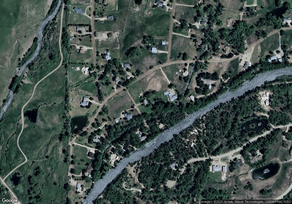
Map
Nearby Homes
- 91 Apache Rd
- 32 Chatto Ct
- 255 Riverwalk Dr
- 199 Kokanee Ct
- 196 Kokanee Ct
- 32 Ponderosa Ln
- 26 Meadow Lark Trail
- 353 Meadowlark Trail
- 710 Sierra Vista Way
- 240 Crest View Dr
- 775 Sierra Vista Way
- 250 Pashuta Dr
- 21 Vulcan St
- 119 Farway Dr
- 302 Van Tuyl Cir Unit E
- TBD Spencer & Pine
- 520 W Elizabeth Ave
- 577 Pashuta Dr
- 776 Pashuta Dr
- Lot 3 W Denver Ave
- 420 Apache Rd
- 330 Apache Rd
- 396 Apache Rd
- 400 Apache Rd
- 363 Apache Rd
- 391 Apache Rd
- 0 Apache Rd Unit On the Gunnison Rive
- 0 Apache Rd Unit Lott 11 Gunnison Riv
- 0 Apache Rd
- 0 Chatto Ct
- 492 Apache Rd
- 0 Apache Road B
- 494 Apache Rd
- 270 Apache Rd
- 455 Riverwalk
- 391 Riverwalk
- 325 Apache Rd
- 311 Riverwalk Dr
- 492 Blackfoot Trail
- 445 Apache Rd