392 E Highline Cir Unit 392 Centennial, CO 80122
Southglenn NeighborhoodEstimated Value: $384,000 - $395,705
3
Beds
3
Baths
1,940
Sq Ft
$201/Sq Ft
Est. Value
About This Home
This home is located at 392 E Highline Cir Unit 392, Centennial, CO 80122 and is currently estimated at $390,176, approximately $201 per square foot. 392 E Highline Cir Unit 392 is a home located in Arapahoe County with nearby schools including Hopkins Elementary School, John Wesley Powell Middle School, and Heritage High School.
Ownership History
Date
Name
Owned For
Owner Type
Purchase Details
Closed on
Feb 19, 2020
Sold by
Adams Paul
Bought by
Drake Iliana K and Corral Daniel Rios
Current Estimated Value
Home Financials for this Owner
Home Financials are based on the most recent Mortgage that was taken out on this home.
Original Mortgage
$274,878
Outstanding Balance
$241,918
Interest Rate
3.62%
Mortgage Type
FHA
Estimated Equity
$148,258
Purchase Details
Closed on
Jan 6, 2012
Sold by
Secretary Of Housing & Urban Development
Bought by
Adams Paul
Purchase Details
Closed on
Sep 23, 2011
Sold by
Wells Fargo Bank Na
Bought by
Secretary Of Housing & Urban Development
Purchase Details
Closed on
Sep 15, 2011
Sold by
Major John and Major Trysta N
Bought by
Wells Fargo Bank Na
Purchase Details
Closed on
Aug 10, 2011
Sold by
Major John and Major Trysta N
Bought by
Wells Fargo Bank Na
Purchase Details
Closed on
May 19, 2006
Sold by
Scott Rory and Scott Julie
Bought by
Major John and Major Trysta N
Home Financials for this Owner
Home Financials are based on the most recent Mortgage that was taken out on this home.
Original Mortgage
$165,404
Interest Rate
6.5%
Mortgage Type
FHA
Purchase Details
Closed on
Dec 30, 1999
Sold by
Hanneman Susan
Bought by
Scott Rory and Scott Julie
Home Financials for this Owner
Home Financials are based on the most recent Mortgage that was taken out on this home.
Original Mortgage
$73,500
Interest Rate
7.69%
Purchase Details
Closed on
Dec 29, 1988
Sold by
Lopez Donald
Bought by
Hanneman Susan
Purchase Details
Closed on
Sep 22, 1987
Sold by
Conversion Arapco
Bought by
Lopez Donald
Purchase Details
Closed on
Sep 1, 1985
Sold by
Conversion Arapco
Bought by
Conversion Arapco
Purchase Details
Closed on
Jul 1, 1979
Sold by
Conversion Arapco
Bought by
Conversion Arapco
Purchase Details
Closed on
Jul 4, 1776
Bought by
Conversion Arapco
Create a Home Valuation Report for This Property
The Home Valuation Report is an in-depth analysis detailing your home's value as well as a comparison with similar homes in the area
Home Values in the Area
Average Home Value in this Area
Purchase History
| Date | Buyer | Sale Price | Title Company |
|---|---|---|---|
| Drake Iliana K | $279,950 | Land Title Guarantee Co | |
| Adams Paul | $100,000 | Wtg | |
| Secretary Of Housing & Urban Development | -- | None Available | |
| Wells Fargo Bank Na | -- | None Available | |
| Wells Fargo Bank Na | $169,254 | None Available | |
| Major John | $168,000 | Land Title Guarantee Company | |
| Scott Rory | $110,000 | Land Title | |
| Hanneman Susan | -- | -- | |
| Lopez Donald | -- | -- | |
| Conversion Arapco | -- | -- | |
| Conversion Arapco | -- | -- | |
| Conversion Arapco | -- | -- |
Source: Public Records
Mortgage History
| Date | Status | Borrower | Loan Amount |
|---|---|---|---|
| Open | Drake Iliana K | $274,878 | |
| Previous Owner | Major John | $165,404 | |
| Previous Owner | Scott Rory | $73,500 |
Source: Public Records
Tax History
| Year | Tax Paid | Tax Assessment Tax Assessment Total Assessment is a certain percentage of the fair market value that is determined by local assessors to be the total taxable value of land and additions on the property. | Land | Improvement |
|---|---|---|---|---|
| 2025 | $2,655 | $25,219 | -- | -- |
| 2024 | $2,490 | $23,316 | -- | -- |
| 2023 | $2,490 | $23,316 | $0 | $0 |
| 2022 | $2,144 | $18,876 | $0 | $0 |
| 2021 | $2,142 | $18,876 | $0 | $0 |
| 2020 | $1,877 | $16,953 | $0 | $0 |
| 2019 | $1,776 | $16,953 | $0 | $0 |
| 2018 | $1,306 | $12,442 | $0 | $0 |
| 2017 | $1,206 | $12,442 | $0 | $0 |
| 2016 | $1,101 | $10,929 | $0 | $0 |
| 2015 | $1,102 | $10,929 | $0 | $0 |
| 2014 | -- | $8,215 | $0 | $0 |
| 2013 | -- | $9,480 | $0 | $0 |
Source: Public Records
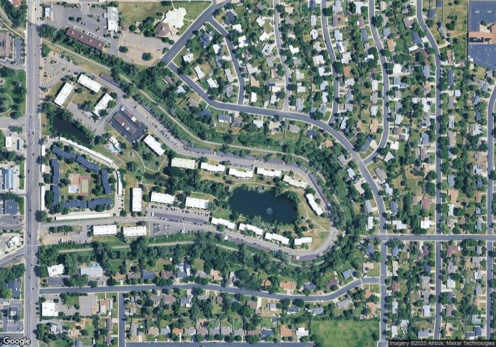
Map
Nearby Homes
- 488 E Highline Cir Unit 488
- 467 E Highline Cir Unit 467
- 280 E Highline Cir Unit 102
- 323 E Briarwood Dr
- 190 E Highline Cir Unit 107
- 190 E Highline Cir Unit 302
- 140 E Highline Cir Unit 105
- 271 E Davies Ave
- 50 E Highline Cir Unit 102
- 6582 S Sherman St
- 6691 S Wellington Ct
- 6688 S Wellington Ct
- 7232 S Broadway
- 6552 S Pearl St
- 281 W Acoma Dr
- 40 E Weaver Place
- 6648 S Wellington Ct
- 6740 S Clarkson St
- 7356 S Bannock Dr
- 400 E Fremont Place Unit 206
- 394 E Highline Cir Unit 394
- 390 E Highline Cir
- 388 E Highline Cir
- 386 E Highline Cir Unit 386
- 440 E Highline Cir
- 384 E Highline Cir Unit 384
- 442 E Highline Cir Unit 442
- 382 E Highline Cir Unit 382
- 444 E Highline Cir Unit 444
- 380 E Highline Cir
- 446 E Highline Cir
- 448 E Highline Cir
- 450 E Highline Cir Unit 450
- 354 E Highline Cir Unit 354
- 452 E Highline Cir
- 454 E Highline Cir Unit 454
- 352 E Highline Cir
- 350 E Highline Cir
- 348 E Highline Cir Unit 348
- 346 E Highline Cir
Your Personal Tour Guide
Ask me questions while you tour the home.