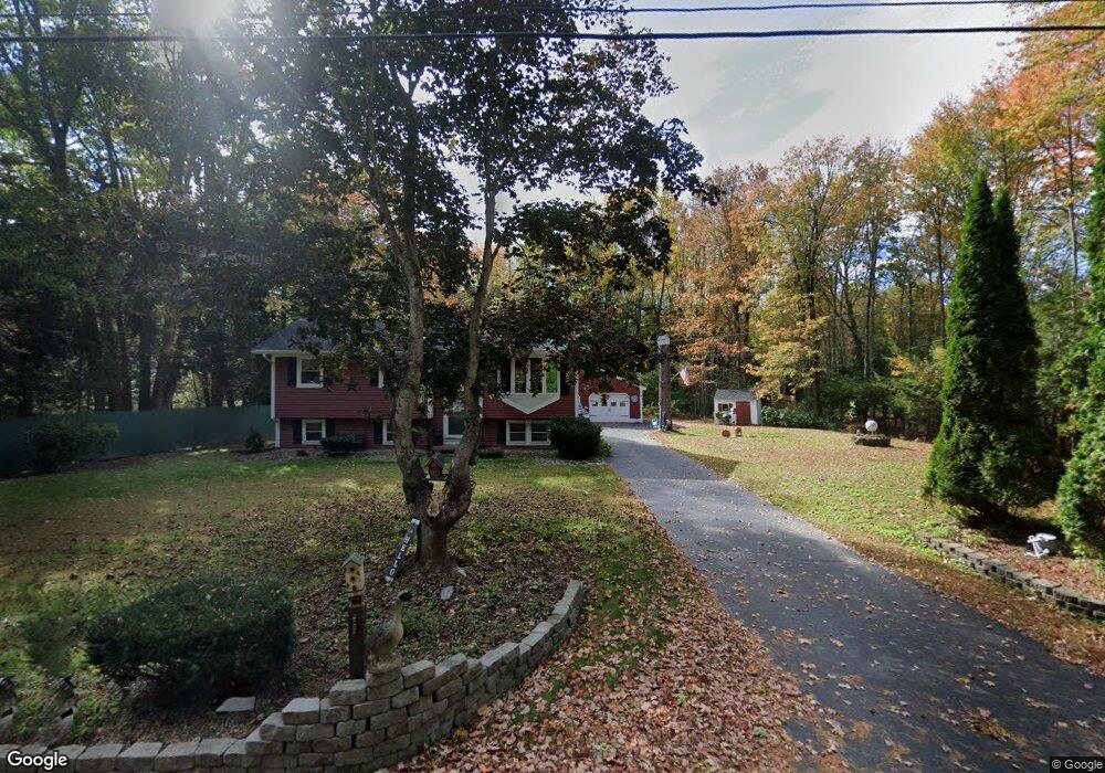
392 Flag Pond Rd Saco, ME 04072
North Saco NeighborhoodEstimated Value: $371,000 - $498,000
3
Beds
1
Bath
952
Sq Ft
$442/Sq Ft
Est. Value
About This Home
This home is located at 392 Flag Pond Rd, Saco, ME 04072 and is currently estimated at $420,366, approximately $441 per square foot. 392 Flag Pond Rd is a home located in York County with nearby schools including C K Burns School and Saco Middle School.
Ownership History
Date
Name
Owned For
Owner Type
Purchase Details
Closed on
Feb 4, 2010
Sold by
Schumacher Sharon R
Bought by
Schumacher Sharon R and Vachon Mark A
Current Estimated Value
Home Financials for this Owner
Home Financials are based on the most recent Mortgage that was taken out on this home.
Original Mortgage
$322,175
Outstanding Balance
$211,753
Interest Rate
5.05%
Mortgage Type
FHA
Estimated Equity
$208,613
Create a Home Valuation Report for This Property
The Home Valuation Report is an in-depth analysis detailing your home's value as well as a comparison with similar homes in the area
Home Values in the Area
Average Home Value in this Area
Purchase History
| Date | Buyer | Sale Price | Title Company |
|---|---|---|---|
| Schumacher Sharon R | -- | -- |
Source: Public Records
Mortgage History
| Date | Status | Borrower | Loan Amount |
|---|---|---|---|
| Open | Schumacher Sharon R | $322,175 |
Source: Public Records
Tax History
| Year | Tax Paid | Tax Assessment Tax Assessment Total Assessment is a certain percentage of the fair market value that is determined by local assessors to be the total taxable value of land and additions on the property. | Land | Improvement |
|---|---|---|---|---|
| 2024 | $4,849 | $345,100 | $139,600 | $205,500 |
| 2023 | $5,090 | $345,100 | $139,600 | $205,500 |
| 2022 | $4,669 | $254,700 | $106,400 | $148,300 |
| 2021 | $4,514 | $239,100 | $94,900 | $144,200 |
| 2020 | $4,266 | $216,900 | $83,600 | $133,300 |
| 2019 | $4,204 | $216,900 | $83,600 | $133,300 |
| 2018 | $351 | $201,100 | $76,000 | $125,100 |
| 2017 | $3,771 | $194,600 | $69,100 | $125,500 |
| 2016 | $336 | $166,600 | $51,400 | $115,200 |
| 2015 | $3,179 | $165,400 | $51,400 | $114,000 |
| 2014 | $3,104 | $166,700 | $52,700 | $114,000 |
| 2013 | $3,097 | $166,700 | $52,700 | $114,000 |
Source: Public Records
Map
Nearby Homes
- 4 Lebanon Rd
- 130 Heath Rd
- Lot 1 & 2 Memory Ln
- 20 Fenderson Rd
- 1 Shamrock Dr
- 4 Primrose Ln
- 181 Watson Mill Rd
- 75 Ash Swamp Rd
- 5 Moose Creek Ln
- 0 Simpson Rd
- 5 Coltons Way
- 153 Mckenney Rd
- 4 Spool St Unit 101
- 91 C Broadturn Rd
- 3 Trapper John Rd
- 8 Peaceful Ln
- 90 Broadturn Rd Unit 9
- 90 Broadturn Rd Unit 1
- 159 Stewart Dr
- 91 B Broadturn Rd
Your Personal Tour Guide
Ask me questions while you tour the home.