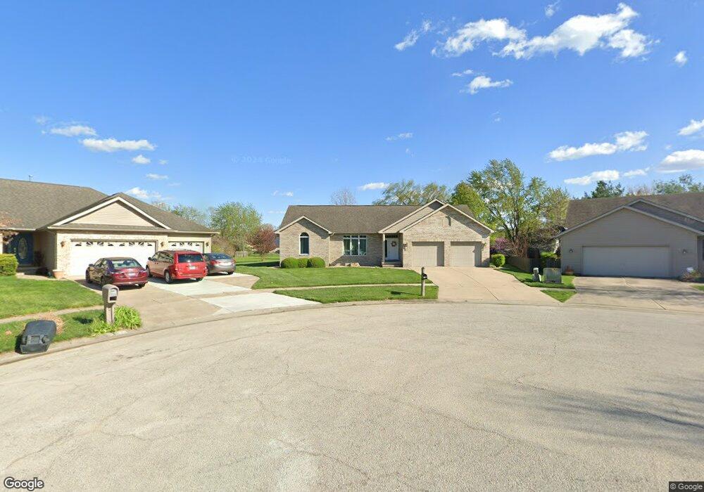
3920 Mapleshade Ct Springfield, IL 62712
Estimated Value: $337,000 - $369,545
Studio
--
Bath
--
Sq Ft
--
Built
About This Home
This home is located at 3920 Mapleshade Ct, Springfield, IL 62712 and is currently estimated at $351,386. 3920 Mapleshade Ct is a home located in Sangamon County with nearby schools including Rochester Elementary Ec-1 School, Rochester Elementary School, and Rochester Intermediate School.
Ownership History
Date
Name
Owned For
Owner Type
Purchase Details
Closed on
Oct 23, 2020
Sold by
Mckneelen Aaron B and Mckneelen Angela M
Bought by
Spearie Donald R and Spearie Elaine B
Current Estimated Value
Home Financials for this Owner
Home Financials are based on the most recent Mortgage that was taken out on this home.
Original Mortgage
$231,700
Outstanding Balance
$202,100
Interest Rate
2.38%
Mortgage Type
New Conventional
Estimated Equity
$149,286
Purchase Details
Closed on
Oct 23, 2000
Create a Home Valuation Report for This Property
The Home Valuation Report is an in-depth analysis detailing your home's value as well as a comparison with similar homes in the area
Purchase History
| Date | Buyer | Sale Price | Title Company |
|---|---|---|---|
| Spearie Donald R | $263,000 | Prairie Land Title | |
| -- | $29,500 | -- |
Source: Public Records
Mortgage History
| Date | Status | Borrower | Loan Amount |
|---|---|---|---|
| Open | Spearie Donald R | $231,700 |
Source: Public Records
Tax History
| Year | Tax Paid | Tax Assessment Tax Assessment Total Assessment is a certain percentage of the fair market value that is determined by local assessors to be the total taxable value of land and additions on the property. | Land | Improvement |
|---|---|---|---|---|
| 2024 | $6,589 | $102,252 | $15,396 | $86,856 |
| 2023 | $6,163 | $93,398 | $14,063 | $79,335 |
| 2022 | $5,862 | $88,077 | $13,341 | $74,736 |
| 2021 | $6,099 | $84,779 | $12,841 | $71,938 |
| 2020 | $5,760 | $82,879 | $12,860 | $70,019 |
| 2019 | $5,715 | $82,590 | $12,815 | $69,775 |
| 2018 | $5,741 | $82,188 | $12,753 | $69,435 |
| 2017 | $5,647 | $81,125 | $12,588 | $68,537 |
| 2016 | $5,570 | $79,941 | $12,404 | $67,537 |
| 2015 | $5,513 | $78,986 | $12,256 | $66,730 |
| 2014 | $5,239 | $78,476 | $12,177 | $66,299 |
| 2013 | $5,208 | $75,321 | $12,176 | $63,145 |
Source: Public Records
Map
Nearby Homes
- 66 White Birch Rd
- 2632 Hilltop Rd
- 53 Mishawaka Dr Unit 1
- 65 Linden Ln
- 180 E Hazel Dell Unit 1
- 10 Lancelot Dr
- 35 Galahad Dr Unit 1
- 8 Riverwood Dr
- 108 Glen Aire Dr
- 0 Oak Hill Rd
- 2709 Carl Prairie Dr
- 2632 Steiler Place
- 10 Radcliff Rd
- 2906 Taylor Ave Unit 11
- 2900 Taylor Ave Unit 4
- 3012 Taylor Ave Unit 58
- 2875 Taylor Ave
- 19 Circle Dr Unit 1
- 300 N Walnut St Unit 1
- 329-331 Harbor Point Place
- 3916 Mapleshade Ct
- 3924 Mapleshade Ct
- 4005 Oakview Dr
- 4001 Oakview Dr
- 3912 Mapleshade Ct
- 3921 Mapleshade Ct
- 4013 Oakview Dr
- 3917 Oakview Dr
- 3913 Mapleshade Ct
- 3917 Mapleshade Ct
- 3908 Mapleshade Ct
- 2921 Summerwood Dr
- 3913 Oakview Dr
- 4017 Oakview Dr
- 3909 Mapleshade Ct
- 3904 Mapleshade Ct
- 2917 Summerwood Dr
- 2913 Summerwood Dr
- 4004 Oakview Dr
- 3909 Oakview Dr
Your Personal Tour Guide
Ask me questions while you tour the home.