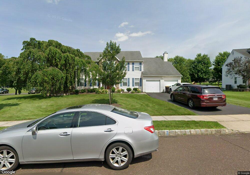
3920 Miriam Dr Doylestown, PA 18902
Plumstead NeighborhoodEstimated Value: $800,000 - $857,223
4
Beds
3
Baths
3,280
Sq Ft
$256/Sq Ft
Est. Value
About This Home
This home is located at 3920 Miriam Dr, Doylestown, PA 18902 and is currently estimated at $839,056, approximately $255 per square foot. 3920 Miriam Dr is a home located in Bucks County with nearby schools including Groveland Elementary School, Tohickon Middle School, and Central Bucks High School-West.
Ownership History
Date
Name
Owned For
Owner Type
Purchase Details
Closed on
Jun 10, 2011
Sold by
Odonnell John and Odonnell Viktoria
Bought by
Odonnell John and Odonnell Viktoria
Current Estimated Value
Home Financials for this Owner
Home Financials are based on the most recent Mortgage that was taken out on this home.
Original Mortgage
$393,193
Outstanding Balance
$25,337
Interest Rate
3.75%
Mortgage Type
FHA
Estimated Equity
$813,719
Purchase Details
Closed on
Feb 21, 2000
Sold by
Landis Greene North Lp
Bought by
Odonnell John and Odonnell Viktoria
Home Financials for this Owner
Home Financials are based on the most recent Mortgage that was taken out on this home.
Original Mortgage
$222,200
Interest Rate
6.62%
Create a Home Valuation Report for This Property
The Home Valuation Report is an in-depth analysis detailing your home's value as well as a comparison with similar homes in the area
Home Values in the Area
Average Home Value in this Area
Purchase History
| Date | Buyer | Sale Price | Title Company |
|---|---|---|---|
| Odonnell John | -- | First American Title Ins Co | |
| Odonnell John | $277,750 | -- |
Source: Public Records
Mortgage History
| Date | Status | Borrower | Loan Amount |
|---|---|---|---|
| Open | Odonnell John | $393,193 | |
| Closed | Odonnell John | $222,200 | |
| Closed | Odonnell John | $41,650 |
Source: Public Records
Tax History
| Year | Tax Paid | Tax Assessment Tax Assessment Total Assessment is a certain percentage of the fair market value that is determined by local assessors to be the total taxable value of land and additions on the property. | Land | Improvement |
|---|---|---|---|---|
| 2025 | $8,945 | $51,480 | $7,280 | $44,200 |
| 2024 | $8,945 | $51,480 | $7,280 | $44,200 |
| 2023 | $8,660 | $51,480 | $7,280 | $44,200 |
| 2022 | $8,564 | $51,480 | $7,280 | $44,200 |
| 2021 | $8,468 | $51,480 | $7,280 | $44,200 |
| 2020 | $8,468 | $51,480 | $7,280 | $44,200 |
| 2019 | $8,416 | $51,480 | $7,280 | $44,200 |
| 2018 | $8,416 | $51,480 | $7,280 | $44,200 |
| 2017 | $8,301 | $51,480 | $7,280 | $44,200 |
| 2016 | $8,301 | $51,480 | $7,280 | $44,200 |
| 2015 | -- | $51,480 | $7,280 | $44,200 |
| 2014 | -- | $51,480 | $7,280 | $44,200 |
Source: Public Records
Map
Nearby Homes
- 1222 Hockley Dr
- 358 E Armstrong Dr
- 5121 Franklin Cir
- LOT 1 Curly Hill Rd
- LOT 2 Curly Hill Rd
- 563 Deep Run Rd
- Lot 10 Schadle Rd
- Lot 14 Schadle Rd
- Lot 9 Schadle Rd
- 316 Schadle Rd
- lot 11 Schadle Rd
- 126 Olde Pilgrim Rd
- 17 Ruhl Dr
- 109 Parkside Dr
- 103 Deep Run Rd Unit D3
- 104 Wigton Cir
- 118 Bishop Way
- 172 Station Dr
- 222 Center Dr
- 204 Station Dr
Your Personal Tour Guide
Ask me questions while you tour the home.