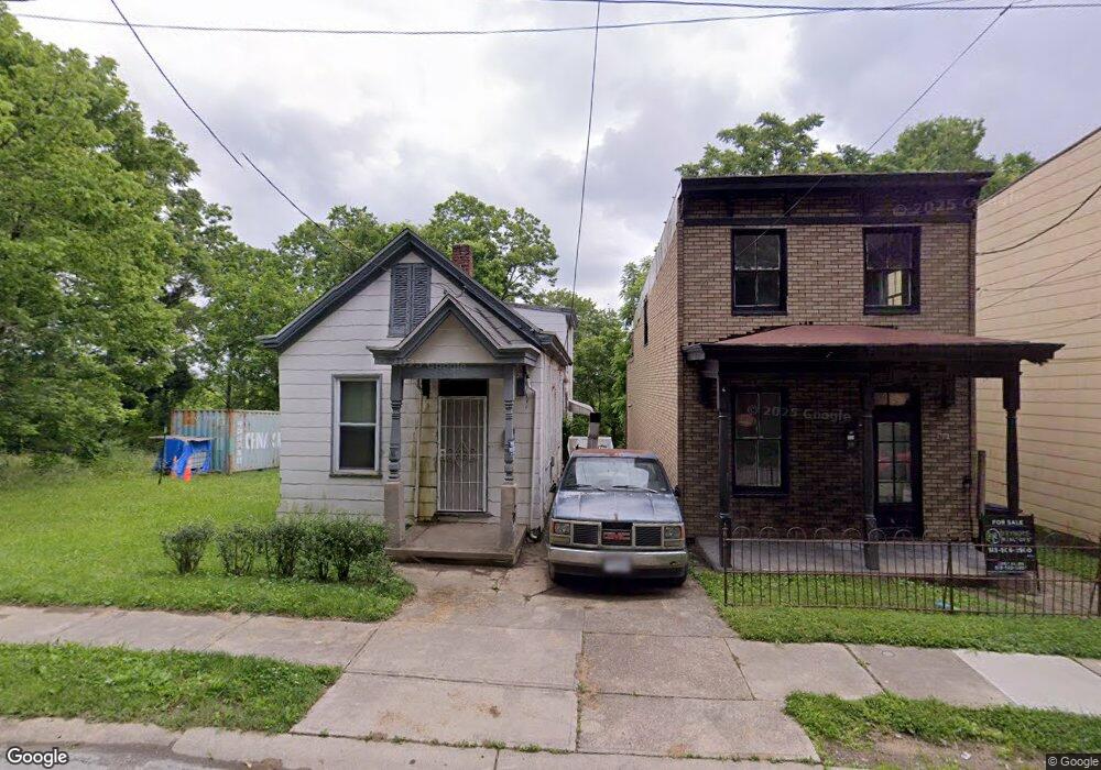
3920 Tappan Ave Cincinnati, OH 45223
South Cumminsville NeighborhoodEstimated Value: $74,093 - $180,000
2
Beds
2
Baths
1,024
Sq Ft
$100/Sq Ft
Est. Value
About This Home
This home is located at 3920 Tappan Ave, Cincinnati, OH 45223 and is currently estimated at $102,523, approximately $100 per square foot. 3920 Tappan Ave is a home located in Hamilton County with nearby schools including Ethel M. Taylor Academy, Western Hills High School, and Gilbert A. Dater High School.
Ownership History
Date
Name
Owned For
Owner Type
Purchase Details
Closed on
Apr 10, 2012
Sold by
Keck Steven A
Bought by
White Martha
Current Estimated Value
Purchase Details
Closed on
Sep 11, 2006
Sold by
Keck Dewey R and Keck Della
Bought by
Keck Steven A
Purchase Details
Closed on
Jan 7, 2005
Sold by
Lane Marie Catherine
Bought by
Keck Steven A and Keck Dewey R
Home Financials for this Owner
Home Financials are based on the most recent Mortgage that was taken out on this home.
Original Mortgage
$16,000
Interest Rate
5.78%
Mortgage Type
Unknown
Create a Home Valuation Report for This Property
The Home Valuation Report is an in-depth analysis detailing your home's value as well as a comparison with similar homes in the area
Home Values in the Area
Average Home Value in this Area
Purchase History
| Date | Buyer | Sale Price | Title Company |
|---|---|---|---|
| White Martha | $7,000 | Attorney | |
| Keck Steven A | -- | None Available | |
| Keck Steven A | $20,000 | -- |
Source: Public Records
Mortgage History
| Date | Status | Borrower | Loan Amount |
|---|---|---|---|
| Previous Owner | Keck Steven A | $16,000 |
Source: Public Records
Tax History
| Year | Tax Paid | Tax Assessment Tax Assessment Total Assessment is a certain percentage of the fair market value that is determined by local assessors to be the total taxable value of land and additions on the property. | Land | Improvement |
|---|---|---|---|---|
| 2025 | $439 | $6,888 | $1,575 | $5,313 |
| 2024 | $426 | $6,888 | $1,575 | $5,313 |
| 2023 | $436 | $6,888 | $1,575 | $5,313 |
| 2022 | $359 | $5,047 | $1,575 | $3,472 |
| 2021 | $341 | $5,047 | $1,575 | $3,472 |
| 2020 | $351 | $5,047 | $1,575 | $3,472 |
| 2019 | $382 | $5,047 | $1,575 | $3,472 |
| 2018 | $383 | $5,047 | $1,575 | $3,472 |
| 2017 | $363 | $5,047 | $1,575 | $3,472 |
| 2016 | $184 | $2,451 | $1,579 | $872 |
| 2015 | $167 | $2,451 | $1,579 | $872 |
| 2014 | $168 | $2,451 | $1,579 | $872 |
| 2013 | $373 | $5,555 | $1,663 | $3,892 |
Source: Public Records
Map
Nearby Homes
- 3923 Cass Ave
- 1932 Powers St
- 1930 Powers St
- 3836 Llewellyn Ave
- 1817 Elmore St
- 3813 Borden St
- 1785 Townsend St
- 4110 Jerome Ave
- 1771 Townsend St
- 4210 Colerain Ave
- 4411 Colerain Ave
- 256 Nottingham Rd
- 4421 Colerain Ave
- 4327 Hays Ave
- 1763 Hanfield St
- 4114 Gordon St
- 1743 Hanfield St
- 4034 Colerain Ave
- 1809 Chase Ave
- 1801 Chase Ave
- 3918 Tappan Ave
- 3926 Tappan Ave
- 3916 Tappan Ave
- 3914 Tappan Ave
- 3910 Tappan Ave
- 3927 Cass Ave
- 3913 Cass Ave
- 3902 Tappan Ave
- 3937 Cass Ave
- 3905 Cass Ave
- 3903 Cass Ave
- 3916 Cass Ave
- 3943 Cass Ave
- 3932 Cass Ave
- 3936 Cass Ave
- 3840 Tappan Ave
- 3947 Cass Ave
- 3947 Cass Ave Unit 2
- 3938 Cass Ave
- 2010 Powers St
Your Personal Tour Guide
Ask me questions while you tour the home.