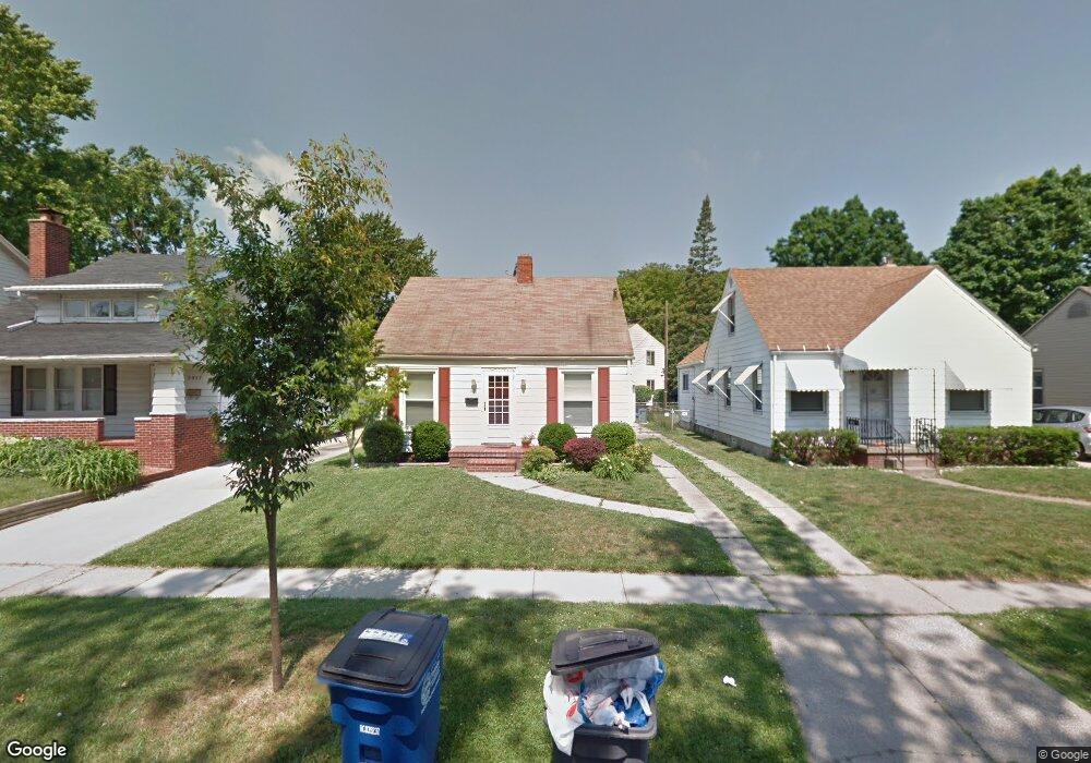
3921 Bellevue Rd Toledo, OH 43613
DeVeaux NeighborhoodEstimated Value: $114,966 - $136,000
3
Beds
1
Bath
832
Sq Ft
$151/Sq Ft
Est. Value
About This Home
This home is located at 3921 Bellevue Rd, Toledo, OH 43613 and is currently estimated at $125,992, approximately $151 per square foot. 3921 Bellevue Rd is a home located in Lucas County with nearby schools including DeVeaux Elementary School, Start High School, and Horizon Science Academy - Toledo High School.
Ownership History
Date
Name
Owned For
Owner Type
Purchase Details
Closed on
Dec 16, 2002
Sold by
Rudnicki Jeffrey D and Rudnicki Tracey J
Bought by
Robertson Jason M and Robertson Beth A
Current Estimated Value
Home Financials for this Owner
Home Financials are based on the most recent Mortgage that was taken out on this home.
Original Mortgage
$88,900
Outstanding Balance
$38,214
Interest Rate
6.25%
Estimated Equity
$87,778
Purchase Details
Closed on
Jun 29, 1990
Sold by
Lehmann Charles F
Create a Home Valuation Report for This Property
The Home Valuation Report is an in-depth analysis detailing your home's value as well as a comparison with similar homes in the area
Home Values in the Area
Average Home Value in this Area
Purchase History
| Date | Buyer | Sale Price | Title Company |
|---|---|---|---|
| Robertson Jason M | $88,900 | Midland | |
| -- | $28,800 | -- |
Source: Public Records
Mortgage History
| Date | Status | Borrower | Loan Amount |
|---|---|---|---|
| Open | Robertson Jason M | $88,900 |
Source: Public Records
Tax History Compared to Growth
Tax History
| Year | Tax Paid | Tax Assessment Tax Assessment Total Assessment is a certain percentage of the fair market value that is determined by local assessors to be the total taxable value of land and additions on the property. | Land | Improvement |
|---|---|---|---|---|
| 2024 | $780 | $25,060 | $6,965 | $18,095 |
| 2023 | $1,408 | $21,595 | $6,545 | $15,050 |
| 2022 | $1,410 | $21,595 | $6,545 | $15,050 |
| 2021 | $1,441 | $21,595 | $6,545 | $15,050 |
| 2020 | $1,576 | $21,000 | $4,970 | $16,030 |
| 2019 | $1,533 | $21,000 | $4,970 | $16,030 |
| 2018 | $1,535 | $21,000 | $4,970 | $16,030 |
| 2017 | $1,578 | $20,545 | $4,865 | $15,680 |
| 2016 | $1,575 | $58,700 | $13,900 | $44,800 |
| 2015 | $1,559 | $58,700 | $13,900 | $44,800 |
| 2014 | $1,292 | $20,550 | $4,870 | $15,680 |
| 2013 | $1,292 | $20,550 | $4,870 | $15,680 |
Source: Public Records
Map
Nearby Homes
- 2041 Brame Place
- 2026 Berkshire Place
- 2050 Berdan Ave
- 2220 Beaufort Ave
- 2035 Barrows St
- 3715 Shelbourne Ave
- 4015 Roanoke Rd
- 2002 Brame Place
- 1959 Brussels St
- 2012 Berdan Ave
- 3718 Sherbrooke Rd
- 2227 Castlewood Dr
- 3656 Bellevue Rd
- 1921 Brussels St
- 1939 Balkan Place
- 2426 Berdan Ave
- 2433 Georgetown Ave
- 2447 Portsmouth Ave
- 1935 Talbot St
- 3621 Sherbrooke Rd
- 3917 Bellevue Rd
- 3925 Bellevue Rd
- 3913 Bellevue Rd
- 2145 Charlestown Ave
- 3929 Bellevue Rd
- 3909 Bellevue Rd
- 2149 Charlestown Ave
- 3905 Bellevue Rd
- 2153 Charlestown Ave
- 2154 Portsmouth Ave
- 3922 Bellevue Rd
- 3918 Bellevue Rd
- 3934& Bellevue
- 3930 Bellevue Rd
- 2138 Charlestown Ave
- 2144 Charlestown Ave
- 2159 Charlestown Ave
- 3910 Bellevue Rd
- 2146 Charlestown Ave