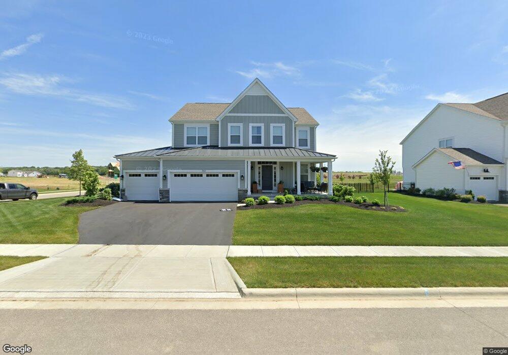
3921 Pyke Dr Powell, OH 43065
Concord NeighborhoodEstimated Value: $609,641 - $653,000
4
Beds
3
Baths
3,192
Sq Ft
$197/Sq Ft
Est. Value
About This Home
This home is located at 3921 Pyke Dr, Powell, OH 43065 and is currently estimated at $628,910, approximately $197 per square foot. 3921 Pyke Dr is a home with nearby schools including Liberty Tree Elementary School, Hyatts Middle School, and Olentangy Berlin High School.
Ownership History
Date
Name
Owned For
Owner Type
Purchase Details
Closed on
Jan 5, 2021
Bought by
Adam T Wanstrath and Audrey W Wanstrath
Current Estimated Value
Home Financials for this Owner
Home Financials are based on the most recent Mortgage that was taken out on this home.
Interest Rate
2.67%
Purchase Details
Closed on
Jan 1, 2021
Sold by
M/I Homes Of Central Ohio Llc
Bought by
Wanstrath Adam T and Wanstrath Audrey W
Home Financials for this Owner
Home Financials are based on the most recent Mortgage that was taken out on this home.
Interest Rate
2.67%
Purchase Details
Closed on
Dec 28, 2020
Sold by
M I Homes Of Central Ohio Llc
Bought by
Wanstrath Adam T and Wanstrath Audrey W
Home Financials for this Owner
Home Financials are based on the most recent Mortgage that was taken out on this home.
Interest Rate
2.67%
Create a Home Valuation Report for This Property
The Home Valuation Report is an in-depth analysis detailing your home's value as well as a comparison with similar homes in the area
Home Values in the Area
Average Home Value in this Area
Purchase History
| Date | Buyer | Sale Price | Title Company |
|---|---|---|---|
| Adam T Wanstrath | $431,752 | -- | |
| Wanstrath Adam T | $431,800 | New Title Company Name | |
| Wanstrath Adam T | $431,800 | Transohio Residential Title |
Source: Public Records
Mortgage History
| Date | Status | Borrower | Loan Amount |
|---|---|---|---|
| Closed | Adam T Wanstrath | -- | |
| Open | Wanstrath Adam T | $345,401 | |
| Closed | Wanstrath Adam T | $345,401 |
Source: Public Records
Tax History
| Year | Tax Paid | Tax Assessment Tax Assessment Total Assessment is a certain percentage of the fair market value that is determined by local assessors to be the total taxable value of land and additions on the property. | Land | Improvement |
|---|---|---|---|---|
| 2024 | $11,645 | $181,550 | $32,550 | $149,000 |
| 2023 | $11,366 | $181,550 | $32,550 | $149,000 |
| 2022 | $11,296 | $142,980 | $28,000 | $114,980 |
| 2021 | $11,349 | $142,980 | $28,000 | $114,980 |
| 2020 | $3,456 | $25,200 | $25,200 | $0 |
| 2019 | $0 | $0 | $0 | $0 |
Source: Public Records
Map
Nearby Homes
- 0 Clark-Shaw Rd Unit 225020834
- 5786 Shadowfair Ln
- 3966 Colts Reign Dr
- 5728 Shadowfair Ln
- 3441 Crimson Stone Dr
- 5737 Shadowfair Ln
- 3967 Colts Reign Dr
- 3993 Colts Reign Dr
- 3766 Maize View Dr
- 3907 Colts Reign Dr
- 3875 Colts Reign Dr
- 3692 Colts Reign Dr
- 3761 Colts Reign Dr
- 3711 Colts Reign Dr
- 3885 Colts Reign Dr
- 3668 Colts Reign Dr
- 3979 Colts Reign Dr
- 3716 Colts Reign Dr
- 3781 Colts Reign Dr
- 3443 Bluejay Ridge Dr
Your Personal Tour Guide
Ask me questions while you tour the home.