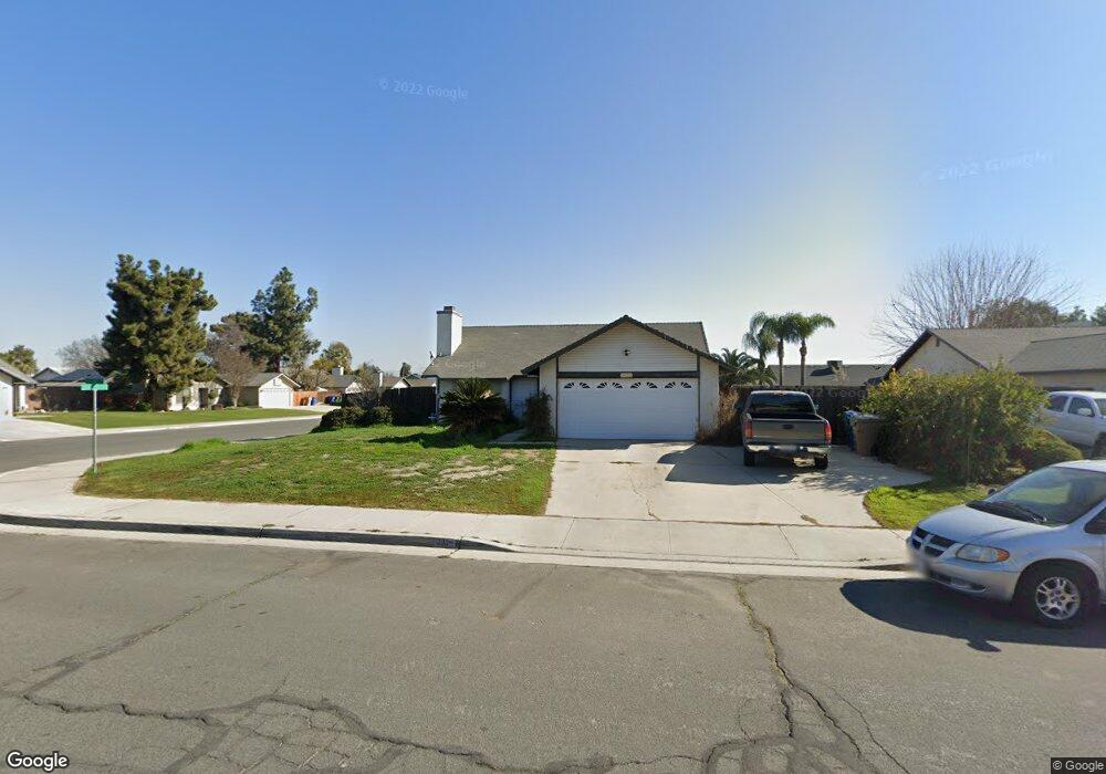
3922 Collier St Bakersfield, CA 93312
Estimated Value: $371,000 - $386,000
3
Beds
2
Baths
1,286
Sq Ft
$295/Sq Ft
Est. Value
About This Home
This home is located at 3922 Collier St, Bakersfield, CA 93312 and is currently estimated at $379,304, approximately $294 per square foot. 3922 Collier St is a home located in Kern County with nearby schools including Rosedale-North Elementary School, Freedom Middle School, and Frontier High School.
Ownership History
Date
Name
Owned For
Owner Type
Purchase Details
Closed on
Mar 21, 2005
Sold by
Morris Robert D
Bought by
Morris Robert D and Morris Darlene Mary
Current Estimated Value
Home Financials for this Owner
Home Financials are based on the most recent Mortgage that was taken out on this home.
Original Mortgage
$173,984
Interest Rate
5.53%
Mortgage Type
New Conventional
Purchase Details
Closed on
Mar 18, 2005
Sold by
Morris Darlene Mary
Bought by
Morris Robert D
Home Financials for this Owner
Home Financials are based on the most recent Mortgage that was taken out on this home.
Original Mortgage
$173,984
Interest Rate
5.53%
Mortgage Type
New Conventional
Purchase Details
Closed on
Nov 12, 2002
Sold by
Morris Robert D
Bought by
Morris Robert D and Morris Darlene Mary
Home Financials for this Owner
Home Financials are based on the most recent Mortgage that was taken out on this home.
Original Mortgage
$108,000
Interest Rate
6.06%
Create a Home Valuation Report for This Property
The Home Valuation Report is an in-depth analysis detailing your home's value as well as a comparison with similar homes in the area
Home Values in the Area
Average Home Value in this Area
Purchase History
| Date | Buyer | Sale Price | Title Company |
|---|---|---|---|
| Morris Robert D | -- | First American Title | |
| Morris Robert D | -- | First American Title | |
| Morris Robert D | -- | First American Title |
Source: Public Records
Mortgage History
| Date | Status | Borrower | Loan Amount |
|---|---|---|---|
| Closed | Morris Robert D | $173,984 | |
| Closed | Morris Robert D | $108,000 |
Source: Public Records
Tax History
| Year | Tax Paid | Tax Assessment Tax Assessment Total Assessment is a certain percentage of the fair market value that is determined by local assessors to be the total taxable value of land and additions on the property. | Land | Improvement |
|---|---|---|---|---|
| 2025 | $2,604 | $183,125 | $38,613 | $144,512 |
| 2024 | $2,538 | $179,535 | $37,856 | $141,679 |
| 2023 | $2,538 | $176,016 | $37,114 | $138,902 |
| 2022 | $2,457 | $172,567 | $36,387 | $136,180 |
| 2021 | $2,356 | $169,185 | $35,674 | $133,511 |
| 2020 | $2,299 | $167,452 | $35,309 | $132,143 |
| 2019 | $2,263 | $167,452 | $35,309 | $132,143 |
| 2018 | $2,188 | $160,953 | $33,939 | $127,014 |
| 2017 | $2,158 | $157,799 | $33,274 | $124,525 |
| 2016 | $2,018 | $154,706 | $32,622 | $122,084 |
| 2015 | $1,995 | $152,384 | $32,132 | $120,252 |
| 2014 | $1,948 | $149,401 | $31,503 | $117,898 |
Source: Public Records
Map
Nearby Homes
- 3600 Piedmont Ave
- 12022 Copernicus Ave Unit 4
- 12102 Magruder Ave
- 12420 Paddock Place
- 3603 Deslok Dr
- 11919 Hannah Denise Ave
- 11910 Compass Ave
- 4303 Bareback Ln
- 12211 Flat Iron Ct
- 11908 Nebula Ct
- 3226 Batch Ln
- 3622 Azure Dr
- 12108 Flat Iron Ct
- 55 Allen Rd
- 12637 Allen Ln
- 12421 Winn Ave
- 4328 Range Dr
- 3122 Campfire Dr Unit 2
- 11265 Poulsen Way
- 3105 Silver Spur Way
- 3900 Collier St
- 3923 Santillan St
- 3901 Santillan St
- 3844 Collier St Unit 2
- 12202 Clementa Ave
- 12215 Clementa Ave Unit 1
- 12120 Clementa Ave
- 12208 Clementa Ave
- 3845 Santillan St Unit 2
- 12114 Clementa Ave
- 12214 Clementa Ave
- 3822 Collier St
- 3823 Santillan St
- 12108 Clementa Ave
- 12201 Magruder Ave
- 12220 Clementa Ave
- 12119 Magruder Ave
- 12207 Magruder Ave
- 3922 Santillan St
- 3823 Collier St
Your Personal Tour Guide
Ask me questions while you tour the home.